
168 - Between Loire and Allier (waymark no. 17)
Start: Arlempdes
This is a “marathon”, complete route aimed exclusively at regular riders. It can be done over two days, or as a single day's outing, and links the Loire to the Allier.
- Distance
- 62.2 km
- Elevation gain
- +1664 m
- Elevation loss
- -1664 m
- Duration
- 5 h 30 min
Route on the map
Base map © OpenTopoMap (CC-BY-SA): route licensed under ETALAB-2.0 via Données : Comité Départemental Randonnée Pédestre Haute-Loire · FFRandonnée · sportsnature.hauteloire.fr — sous licence ETALAB 2.0.
The feel of the route
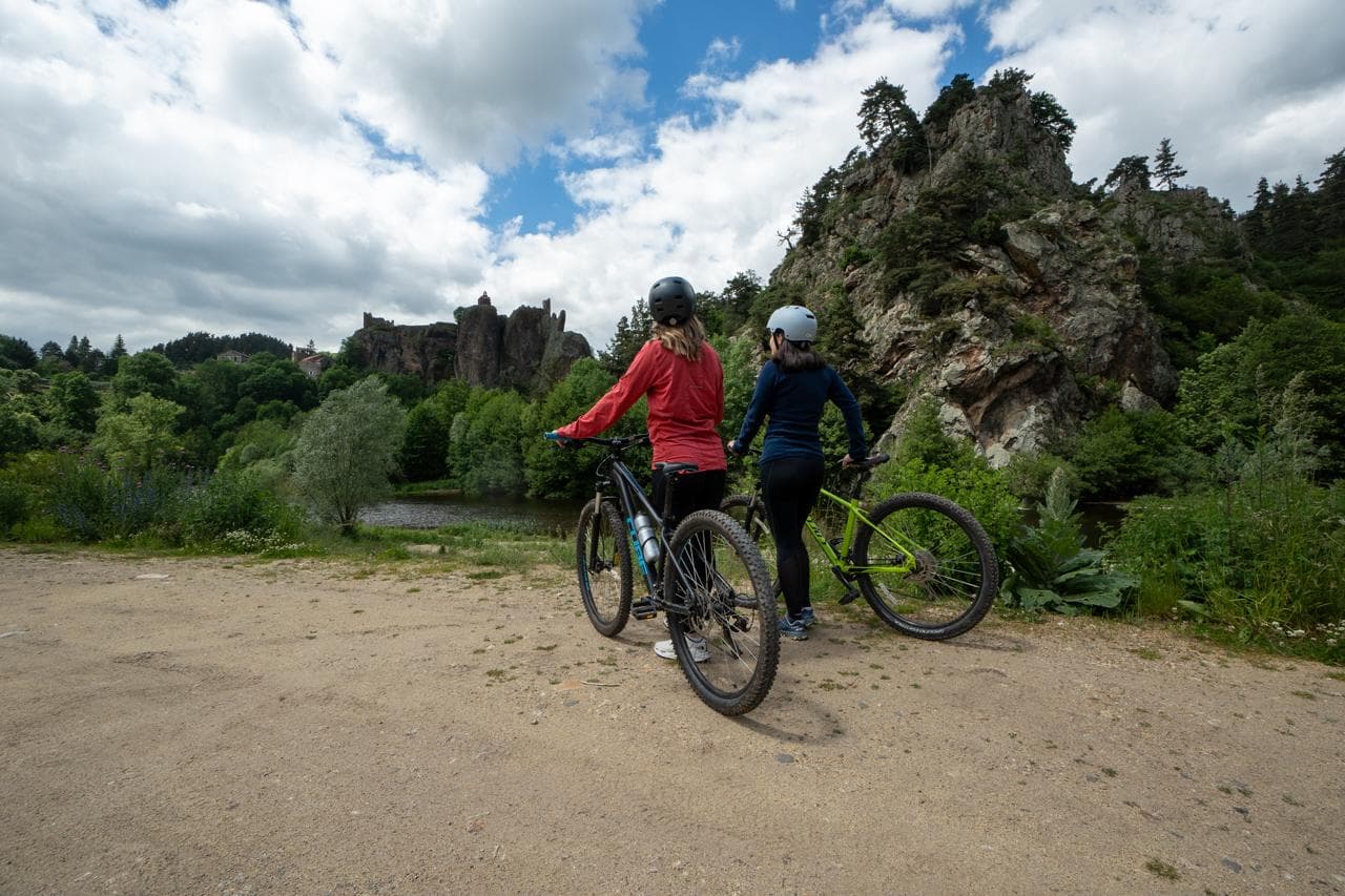
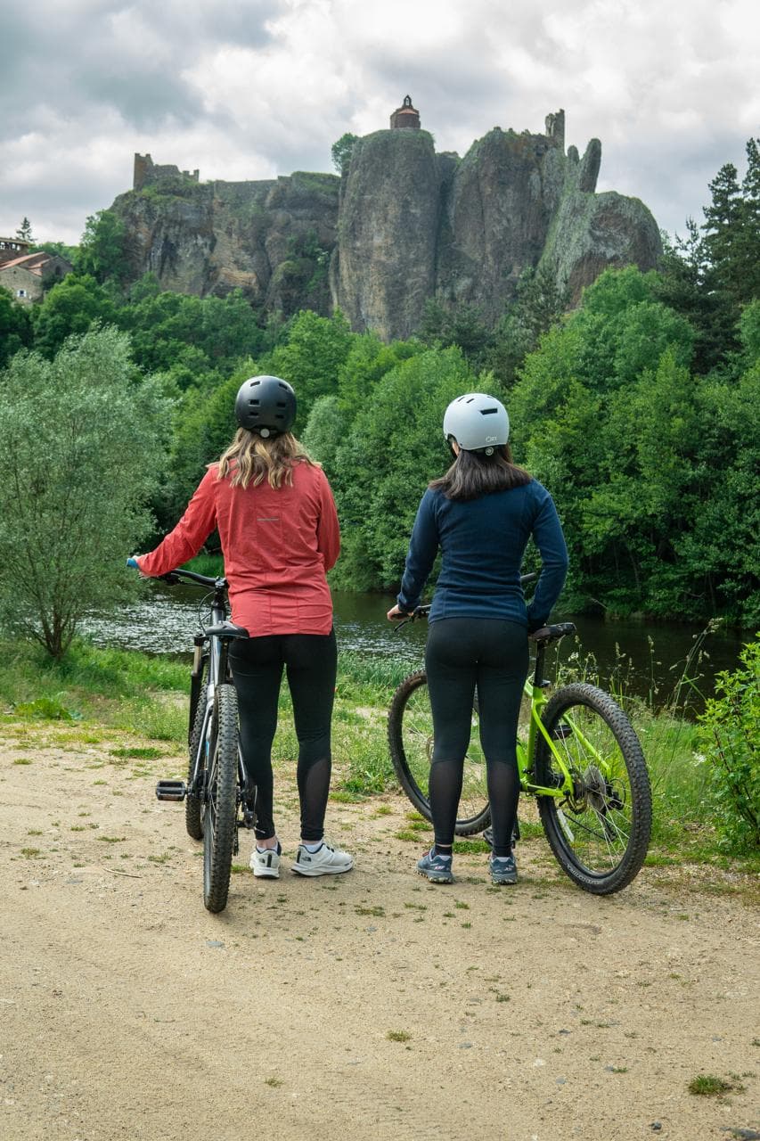
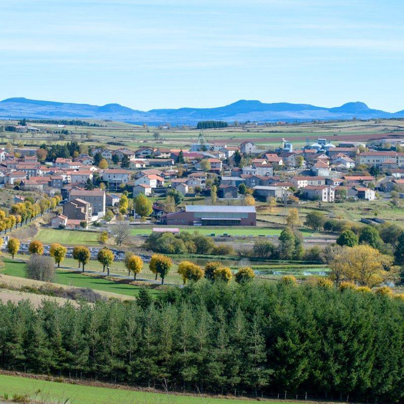
The Pays de Cayres-Pradelles: Between the Loire valley and the Allier gorges, the Pays de Cayres-Pradelles covers more than half of the 700 km² of the Devès plateau. The largest volcanic plateau in France, it is the result of intense activity that began 3 million years ago. Dozens of volcanoes sent their lava flows as far as the beds of the Allier and the Loire. Several forms of volcanism followed one another, shaping the typical and spectacular landscapes of the plateau: maars, gardes, steep gorges, and the deep, fertile soils that can be seen today. The Devès was first summer grazing land, then a granary, before brewing barley and the green lentil of Le Puy marked it out as an exceptional area.
In pictures
Other hikes in the area
 Mountain biking
 Mountain biking
 Cycling
22 - Around the Landos marshes
Start: Aire d'accueil de la voie verte du Velay à Landos
- 16.7 km
- +277 m
- 1 h 30 min