
21 - On the fringes of the Devès
Start: Parking en face de la Mairie de Cayres
Setting off from Cayres and its imposing church, discover small villages full of charm. The circuit also passes close to the most visited natural site in Haute-Loire: Lac du Bouchet. Don't hesitate to make a short detour to discover this spot surrounded by greenery and set in one of the finest maar craters in the whole of Auvergne.
- Distance
- 22 km
- Elevation gain
- +329 m
- Elevation loss
- -327 m
- Duration
- 1 h 15 min
Route on the map
Base map © OpenTopoMap (CC-BY-SA): route licensed under ETALAB-2.0 via Données : Comité Départemental Randonnée Pédestre Haute-Loire · FFRandonnée · sportsnature.hauteloire.fr — sous licence ETALAB 2.0.
The feel of the route
A volcanic land
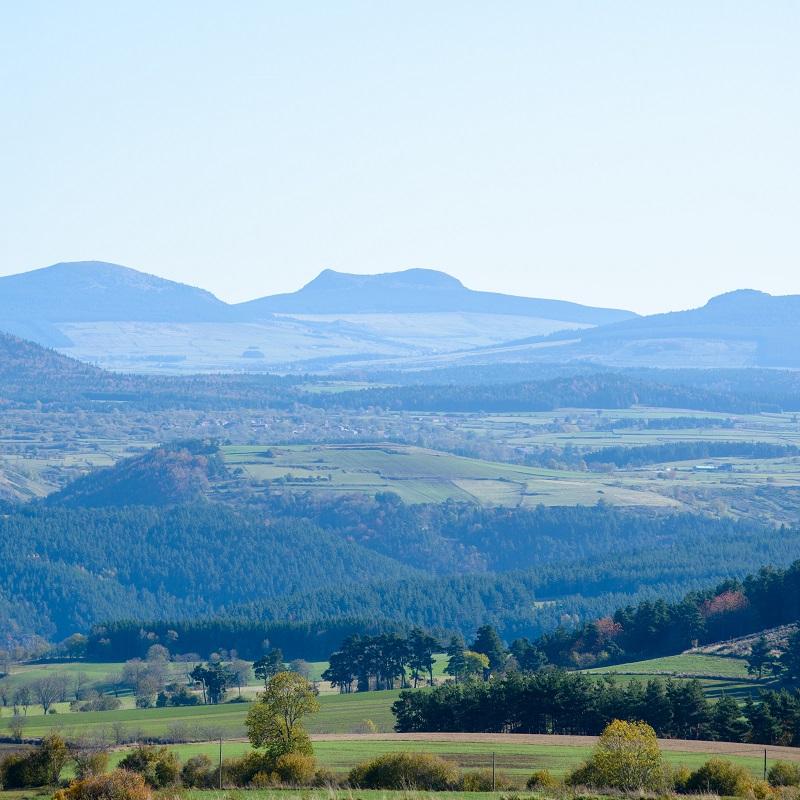
After a very long period of effusive volcanism, the Devès went through explosive eruptions of varying intensity. The most violent, generally linked to rising magma meeting a small amount of water, cut large craters into the surface of the plateau: the maars. The material thrown out in these explosions spread over wide areas, building up around the edges of the craters in gently sloping layers. Many of them filled with water immediately after the eruption ended. Today, only the Bouchet maar is still occupied by a lake, 28 metres deep. The other maars have filled in through the build-up of volcanic material or lake sedimentation. Near Costaros, the Péchay maar was the subject of attempts at agricultural drainage; it was nonetheless refilled with water because of the poor quality of the pastures, which were too wet.
Other, weaker explosions opened smaller vents and built scoria cones, locally called gardes. These volcanic cones are unevenly distributed: numerous and scattered around Cayres and Costaros, they gather along an important line of fracture from the Devès to La Durande, and become rarer on the Saint-Jean-Lachalm plateau. Under the effect of erosion, the summit crater of these volcanoes has disappeared and their shapes have softened. Through solifluction, the finest elements of the cones slid down the slopes and mixed with those of the plateau, giving the soil a fairly uniform reddish tint.
Other hikes in the area
 Mountain biking
 Mountain biking
 Other activity