
The Bost path
Start: Eglise de Ceilloux
Ceilloux priory, the fortified farm at Le Bost, a rare dry-stone hut at Dourbias, Château des Martinanches… the route reveals remarkable architectural heritage in a bocage landscape.
- Distance
- 8.3 km
- Elevation gain
- +191 m
- Elevation loss
- -185 m
- Duration
- 2 h 30 min
Route on the map
Base map © OpenTopoMap (CC-BY-SA): route licensed under ODbL via Données : Parc Naturel Régional Livradois-Forez · rando.parc-livradois-forez.org — sous licence ODbL.
The feel of the route
You can see a long way to the east and to the west. Patches of orchard are a reminder that apple growing was once important here.
The route in detail
Start opposite the church at Ceilloux: go down to the right in front of the inn, then down to the right of the village gîte as far as the road. Go up to the right along a tarmac track as far as the road. Go up to the right along a tarmac track to Tissonnières.
(1) At the hamlet of Tissonnières, go round the house on the right, then go down the track on the right to the Gouttalade stream. Carry on uphill through woodland to Le Bost.
(2) Go round the fortified farm at Le Bost on the left. Turn right straight away and go straight uphill.
(3) At the crossroads of four tracks, continue straight on in the wood. Cross the road and carry on opposite.
(4) At the crossing, at the corner of the fir wood, bear right onto a small track that leads to the Pradelles farm. Go past the cowshed, then turn left between two low walls and follow the road on the left for 50 m. On leaving the hamlet, cross a farmyard on the right (please respect this place) and continue along a path between the low walls as far as the road.
(5) On reaching the D997 (off the route, the dry-stone hut is 100 m straight ahead, in the small wood behind the reservoir), turn right for 50 m. Go over the embankment and take the old road. In Dourbias, follow a tarmac track. You pass behind a renovated house before crossing the road. After 100 m, turn right onto a small road, then left towards Echinlet.
(6) At the Y-junction, (you can leave the route to the left for Château des Martinanches, 1.5 km away) follow the path on the right that enters a wood. On leaving it, go down to the right along a sunken lane to the hamlet of La Cissartie. Go through it and return to Ceilloux by the road.
In pictures

Other hikes in the area
 On foot
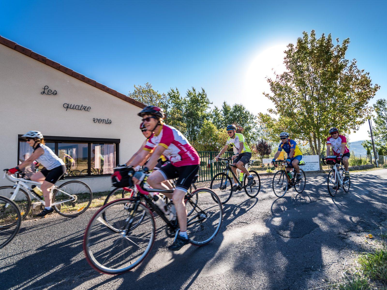 Cycling
Trip through the Haut-Livradois (road circuit no. 5)
Start: Centre nature les 4 Vents
- 114 km
- +1912 m
- 7 h 30 min