
The chamois
Start: Maison de Site (Puy Mary - Volcan du Cantal)
A big loop of nearly 18 km at the foot of the Puy Mary, starting from Le Claux. Col de Serre, summer-pasture burons (old stone huts) and the Petite Rhue cirque, with a chamois in the early morning if you keep your eyes open.
- Distance
- 17.9 km
- Elevation gain
- +892 m
- Elevation loss
- -892 m
- Duration
- 5 h 30 min
Route on the map
Base map © OpenTopoMap (CC-BY-SA): route licensed under ETALAB-2.0 via PNR des Volcans d'Auvergne.
The feel of the route
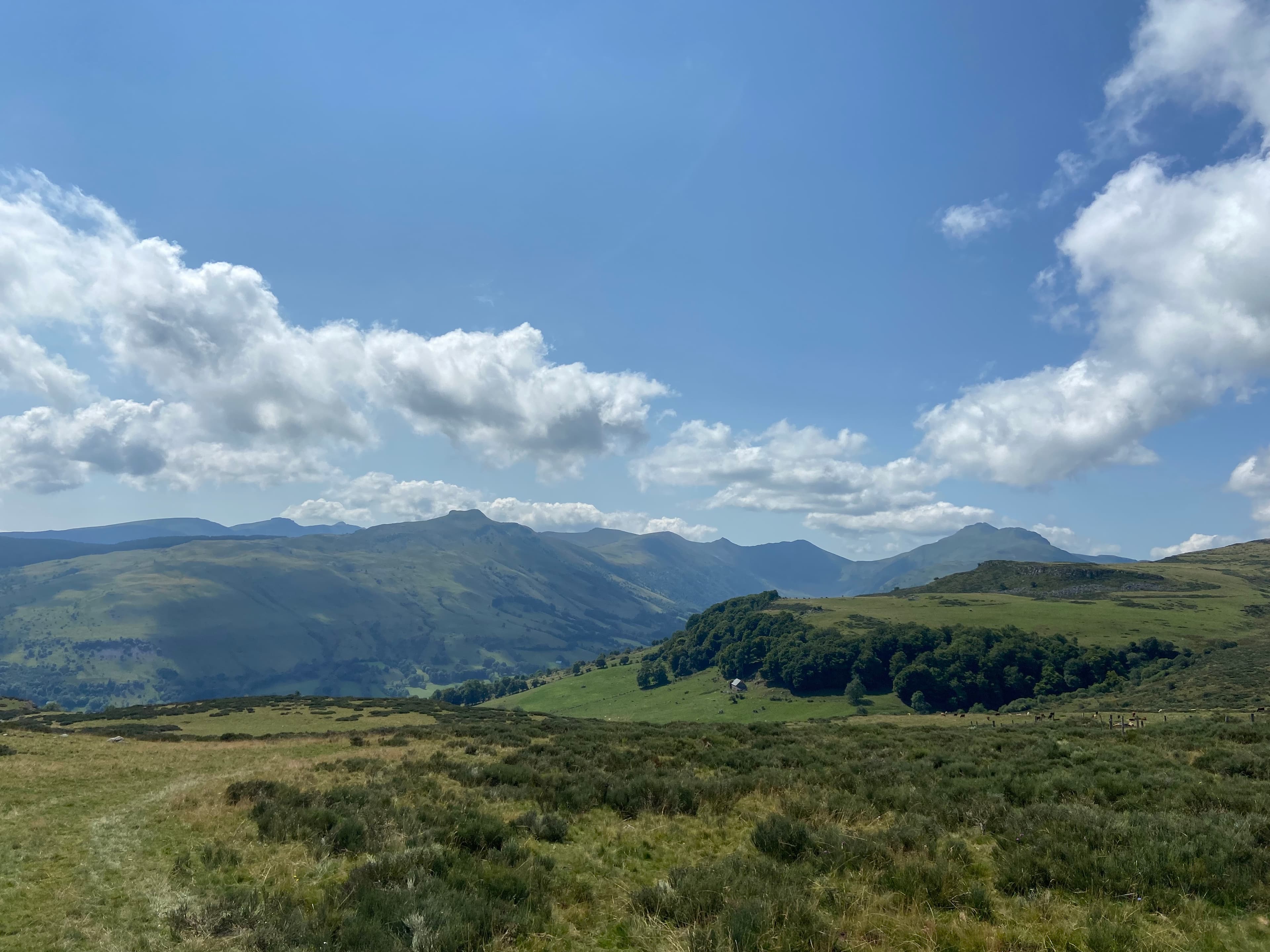
Here you are in the heart of the biggest volcano in Europe, and you can feel it. The Puy Mary plants its pyramid silhouette above the glacial valley of the Petite Rhue, and you have it in your sights for a good part of the route. All around, the summer pastures: short-cropped grass, stone burons (huts) where people went up to make cheese in summer, and the silence of the heights.
The hike is called The chamois, and it has earned the name. In the first hours of the day, when the sun skims the ridges, it is not rare to see one break away across a slope, with a marmot not far off. Our take: it is a fine day's walking, not a sprint but plenty of distance and well-spread ascent. Save it for the good season, between mid-May and mid-November; the rest of the year the snow locks everything up.
The route in detail
The start is at the Maison de Site du Claux, at 1,050 m, opposite the town hall. You head left towards the Puy Mary, go past the campsite, then the road climbs through the hamlets of La Jarrige and Lavialle. After the last house and the hairpin bend, a track leaves on the right and puts you on the GR400, in the woods.
The path climbs gently to a clearing, comes out of the tree cover, then drops back down to the car park at the Col de Serre. You cross over, go through the little gate hidden behind the chalet, and pick up the shared route of the GR4 and GR400 that runs along the heights.
The track runs alongside the buron d'Eylac, slips under the Roches Taillades and unrolls an almost flat stretch of more than two kilometres. After a stream, it climbs back up on the left to a crossing with an intriguing name, the tombe de l'Anglais (the Englishman's grave). After that it passes close to a water tower, reaches Lascourt and its gîte, then heads for the pond.
You then drop into the woods to go down to the hamlet of Lapeyre. A stretch of departmental road, the old bridge crossed on the left, and you close the loop at the campsite, back at the start. Allow nearly 18 km, 892 m of total ascent and about 5 hours 30 of walking. It is graded difficult, mostly because of the distance.
In pictures


Other hikes in the area
 On foot
 On foot
 On foot
Cases de Cotteughes
Start: Parking aménagé des Cases de Cotteughes, Saint-Vincent-de-Salers, 15380
- 6.5 km
- +211 m
- 2 h 15 min