
24 - Venturing into mid-altitude mountains
Start: Gare de Lantriac
No need to start the stopwatch: this fairly fast-rolling outing is perfect for getting back into physical shape, or for beginners.
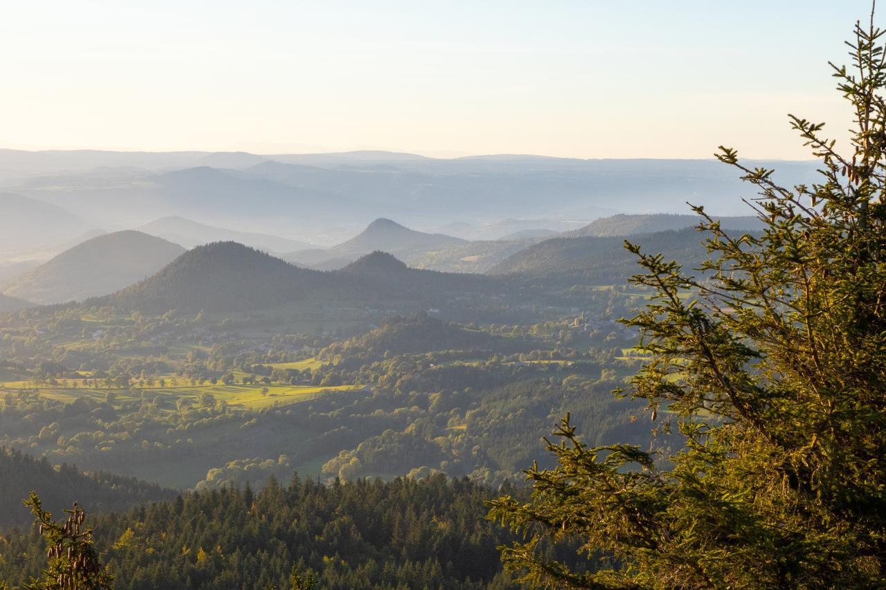
Sucs (volcanic peaks) and green hills have come together to give your trip some visual relief.
The route winds along small, twisting, hilly roads, alternating short climbs and false flats.
- Distance
- 26 km
- Elevation gain
- +574 m
- Elevation loss
- -575 m
- Duration
- 2 h
Route on the map
Base map © OpenTopoMap (CC-BY-SA): route licensed under ETALAB-2.0 via Données : Comité Départemental Randonnée Pédestre Haute-Loire · FFRandonnée · sportsnature.hauteloire.fr — sous licence ETALAB 2.0.
The feel of the route
In 1906, a law declared the “line from Le Puy-en-Velay to Nieigles-Prades” (now Lalevade-d'Ardèche) to be of public utility, with the aim of cutting the journey from 2 days to 3 hours.
In 1907, the route was adopted and work began in 1911. The task was hard because the Cévennes are a difficult obstacle to cross, with no easy natural line of communication but with many mountains and big changes in height.
Unfortunately, work was interrupted by the First World War, and resumed on the Velay side in 1919, where Laurent Eynac (a native of Le Monastier/Gazeille), departmental councillor, deputy then senator and several times minister (for the PTT, Commerce, Public Works and finally Air), threw all his weight behind completing the project.
In 1939, the line's platform, the stations and all the installations were ready as far as the boundary between the two départements; only the rails were missing. They were never laid. This line never operated and was decommissioned in 1941.
The line was to cover 89 kilometres, with 12 viaducts and 35 tunnels.
Today, this route, converted for the moment into a traffic-free path, delights walkers, and an association works hard to keep it alive, notably with two hikes each year. Close to your cycling route, you can discover several engineering structures: viaducts (la Recoumène, les Badioux, etc.), tunnels (Présailles, etc.), stations.
In pictures

Other hikes in the area
 Mountain biking
 Mountain biking
 Mountain biking