
GR470 Sources and gorges of the Allier
Start: Auzon
The GR 470 Sources and Gorges of the Allier
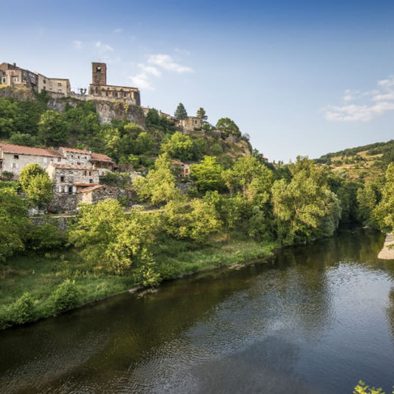
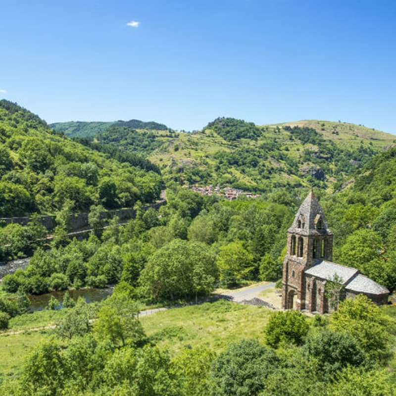
In the south of Auvergne, at the gateway to the Lozère, the Gorges de l'Allier form a deep valley with unspoilt nature. Many wild landscapes, shaped by water and volcanoes, await walkers: deep gorges, granite or basalt plateaux, moorland, forests…
The Allier is one of the last great wild rivers in Europe, and also a land rich in preserved and showcased heritage: characterful villages, Romanesque churches, wall paintings, rock castles, a tourist train between Langeac and Langogne, which will appeal to adventurous spirits and nature enthusiasts alike who come to recharge in the wake of the salmon.
- Distance
- 211 km
- Elevation gain
- +7029 m
- Elevation loss
- -6411 m
- Duration
- 264 h
Route on the map
Base map © OpenTopoMap (CC-BY-SA): route licensed under ETALAB-2.0 via Données : Comité Départemental Randonnée Pédestre Haute-Loire · FFRandonnée · sportsnature.hauteloire.fr — sous licence ETALAB 2.0.
The feel of the route
THE GORGES DE L'ALLIER,
The land where nature has its source
The Allier river has its source in the Cévennes mountains, at the Moure de la Gardille, at an altitude of 1,503 m. It then quickly leaves the Lozère and enters Haute-Loire, in the south of Auvergne.
Cutting their way between the granite plateaux of the Margeride and the basalt plateaux of the Velay Volcanique, the turbulent waters of the Allier have given birth to an exceptional natural site.
The route in detail
The stages below are only suggestions.
In pictures
Other hikes in the area
 Other activity
 Cycling