The route
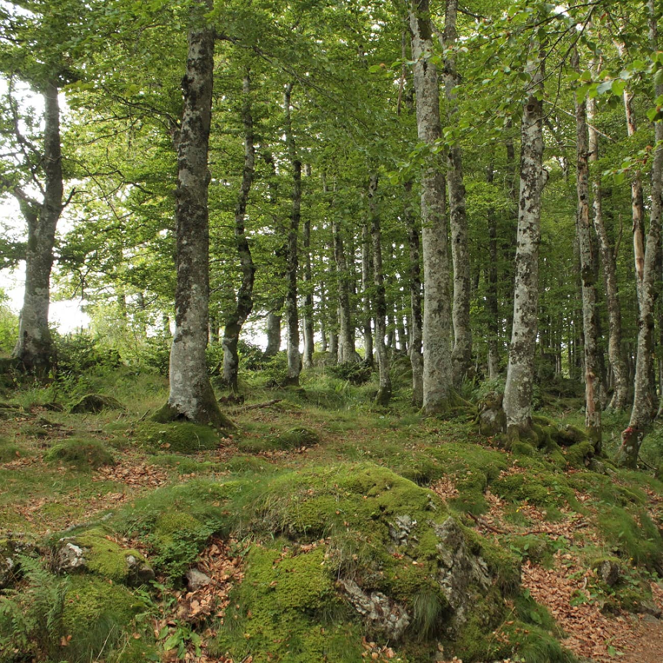
Start - Facing the start sign, take the gravel track on the left. Walk on under a canopy of beech and hazel trees, then across pastures, as far as a fork (view on the left of the Puy de Côme, the Grand Suchet and the Petit Suchet, with its caves).
Keep right and carry on under the hazel trees to the junction with the GR (long-distance footpath).
Climb to the right towards the Plateau du Traversin and go as far as the fountain (alt. 1,125 m).
Carry straight on and follow the edge of the sheep pen. Go down a pozzolana track (loose volcanic gravel) to skirt round the Petit Puy de Dôme, go through a gate and continue to the junction a few metres further on.
Take the left-hand path to a four-way junction.
Turn right onto the path known as “des Gouris” to reach the access route to the summit of the Puy de Dôme. Cross it, go straight on to the D68 and carry on opposite. Pass a path on your left, go across a four-way junction and continue through the woods to the next junction.
Head right on a path through the woods and climb up to the D68 to get back to the Col de Ceyssat car parks, where you started.
What it is like
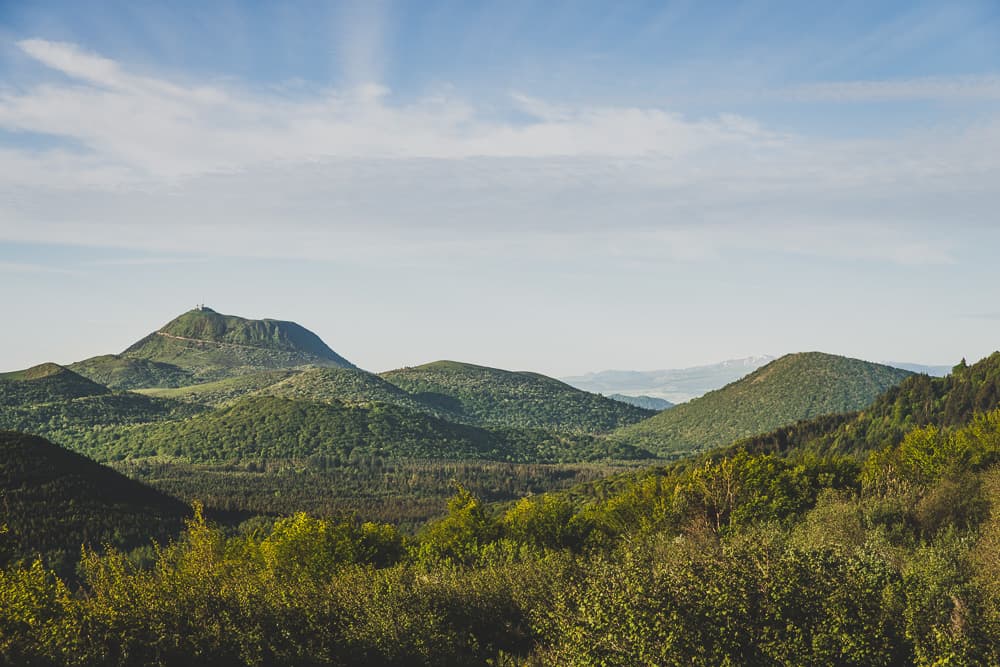
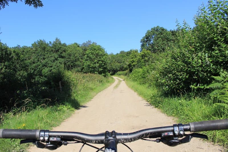
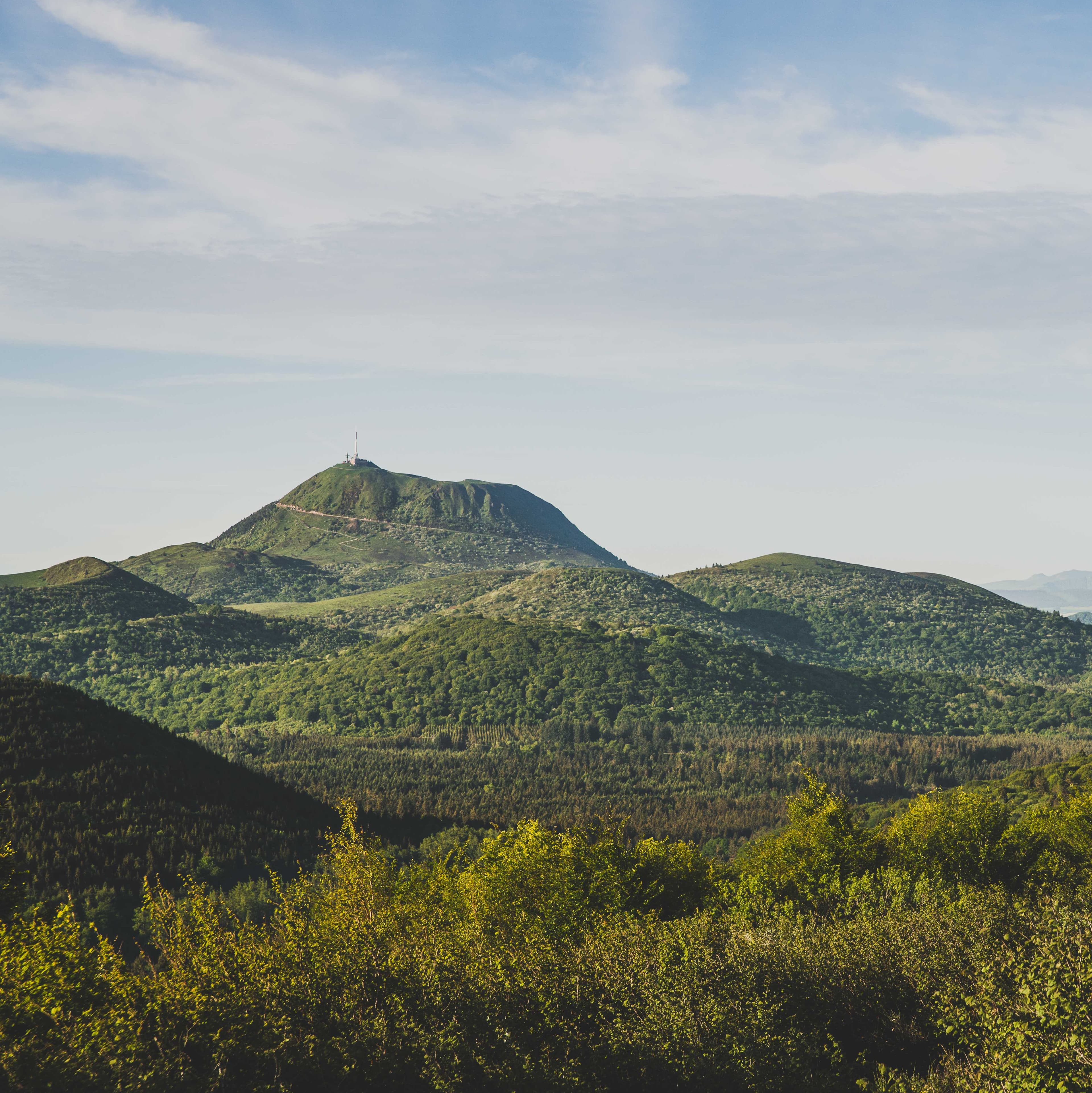
On this route you move through forest and summer pasture on the Traversin section, the central point of the chain, between the Puy de Dôme and the Puy du Pariou. Plenty of viewpoints open up along the way, such as the Petit Suchet and its caves.
Getting to the start
- Col de Ceyssat, from Ceyssat or from Orcines. - From Clermont-Ferrand, follow signs for Tulle on the D941 as far as Orcines, then the D942 towards the Puy de Dôme and the Col de Ceyssat (parking). The start sign is 50 m above the car parks, behind the two restaurants.
Advice
- Dogs must be kept on a lead because there is livestock about. - Thank you for helping to protect the places you walk through.