
On the heights of Aubusson (circuit no. 7)
Start: Centre nature des 4 vents (Aubusson d'Auvergne)
Like circuit no. 5, this waymarked loop passes through Puymillier, where you can see its mulberry tree, four centuries old and listed among the remarkable trees of France, before climbing a little higher to reach the path that links La Bournélie to La Félolie and offers a remarkable viewpoint over the Chaîne des Puys. You go down to Aubusson by a slightly technical footpath behind the ruins of the old Château de Montgon, which leads to the village church. It houses a fine Romanesque Virgin in majesty dating from the 12th century. The circuit then goes round the lake before reaching the villages of Tournebize and La Souche. After a quick descent at the end of which you cross the Espinasse stream, you finish with a climb back up a path to Champblanc, before continuing along the road to the nature centre.
- Distance
- 14.4 km
- Elevation gain
- +324 m
- Elevation loss
- -327 m
- Duration
- 1 h 30 min
Route on the map
Base map © OpenTopoMap (CC-BY-SA): route licensed under ODbL via Données : Parc Naturel Régional Livradois-Forez · rando.parc-livradois-forez.org — sous licence ODbL.
Other hikes in the area
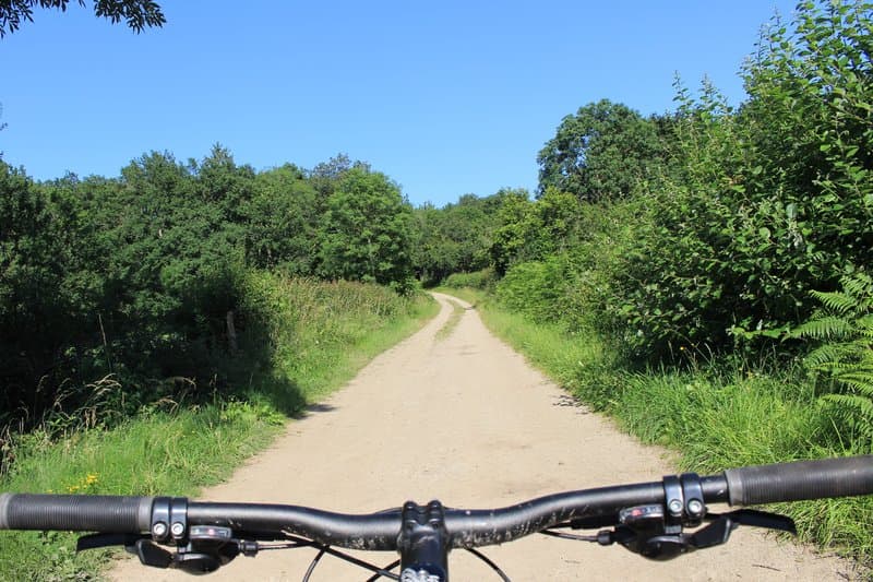 Mountain biking
Lac d'Aubusson (loop no. 5)
Start: Centre nature des 4 vents (Aubusson d'Auvergne)
- 12.3 km
- +237 m
- 1 h 30 min
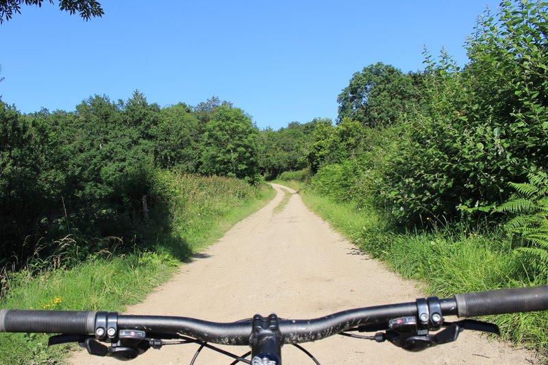 Mountain biking
The grand tour of Lac d'Aubusson (circuit no. 18)
Start: Centre nature des 4 vents (Aubusson d'Auvergne)
- 28 km
- +669 m
- 3 h
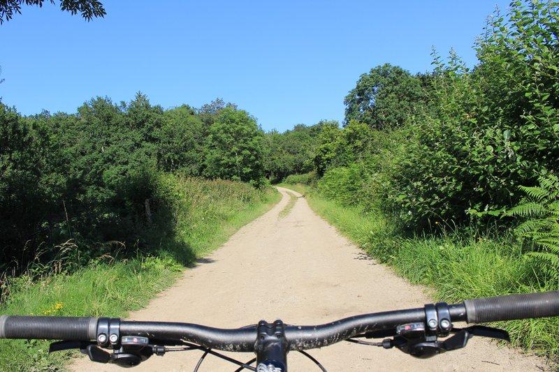 Mountain biking
Bois de la Plaine (circuit no. 3)
Start: Centre nature des 4 vents (Aubusson d'Auvergne)
- 8.9 km
- +103 m
- 1 h 30 min