
 On foot
Hard
Activity: On foot 🥾
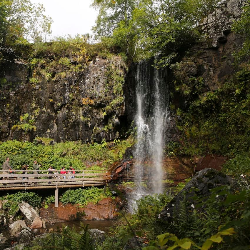
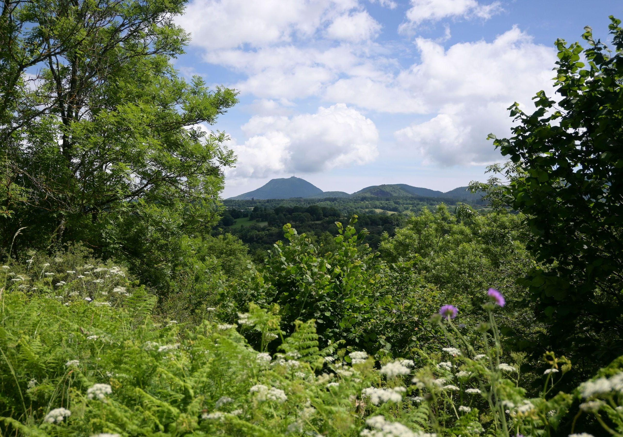
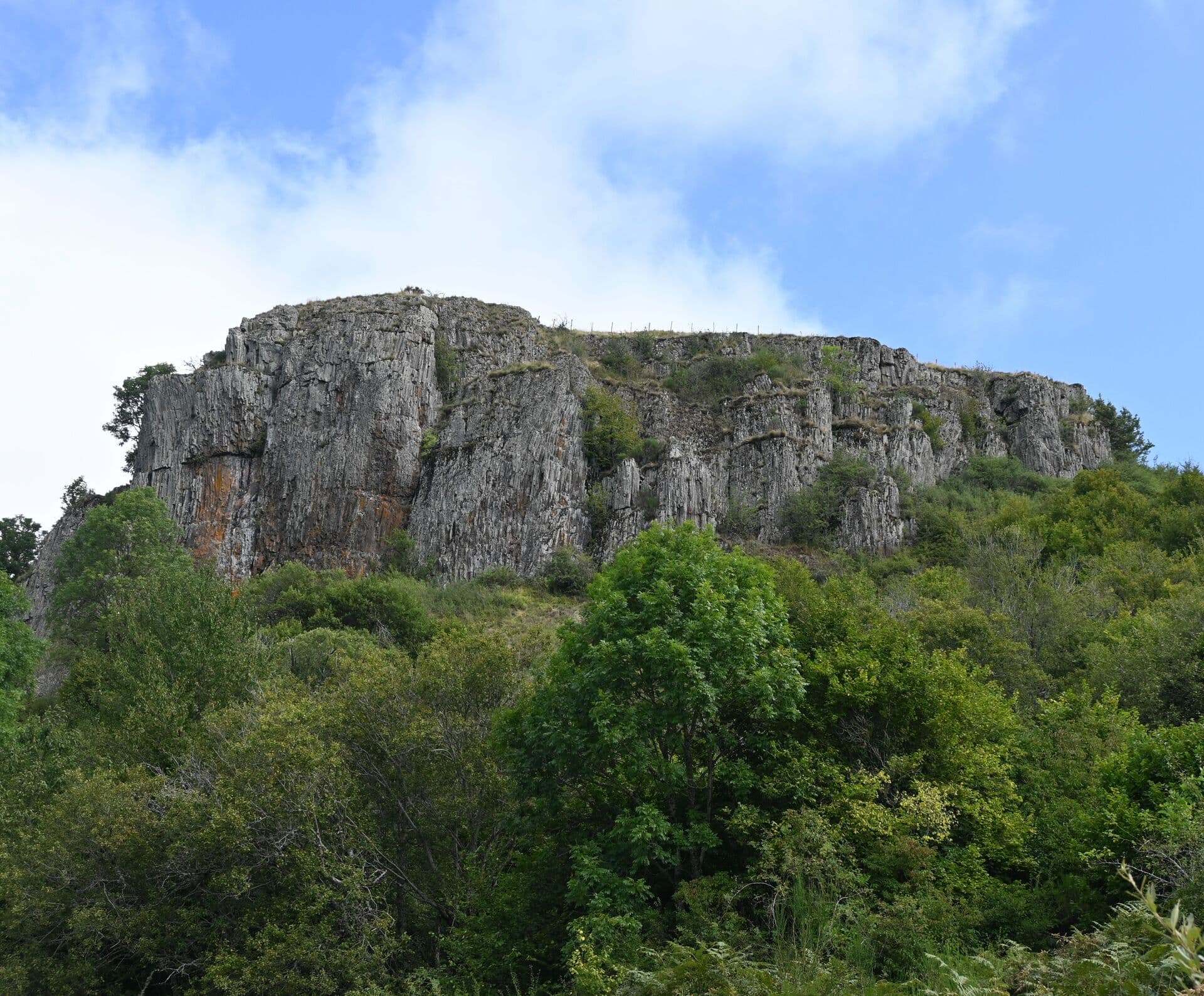
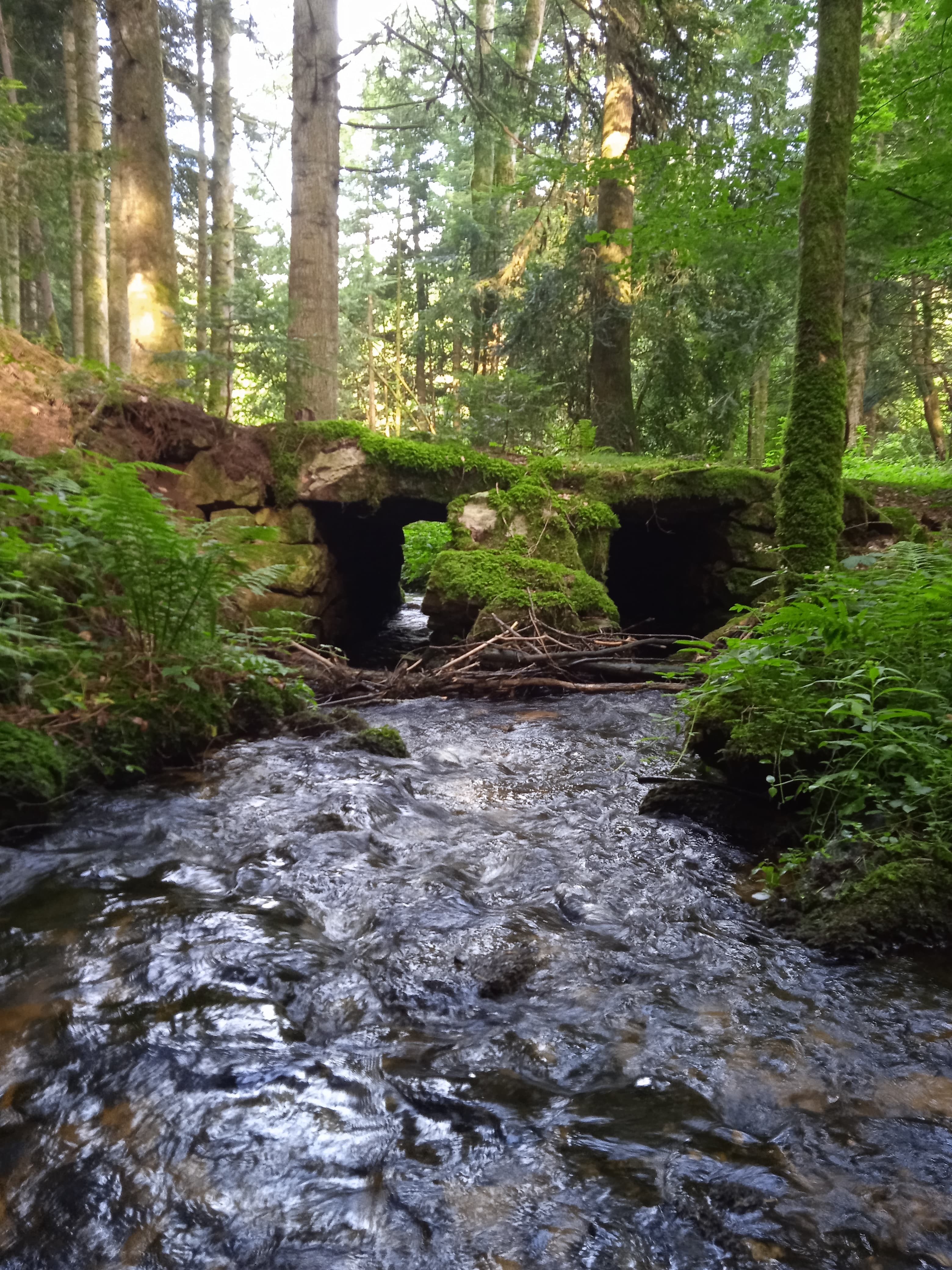
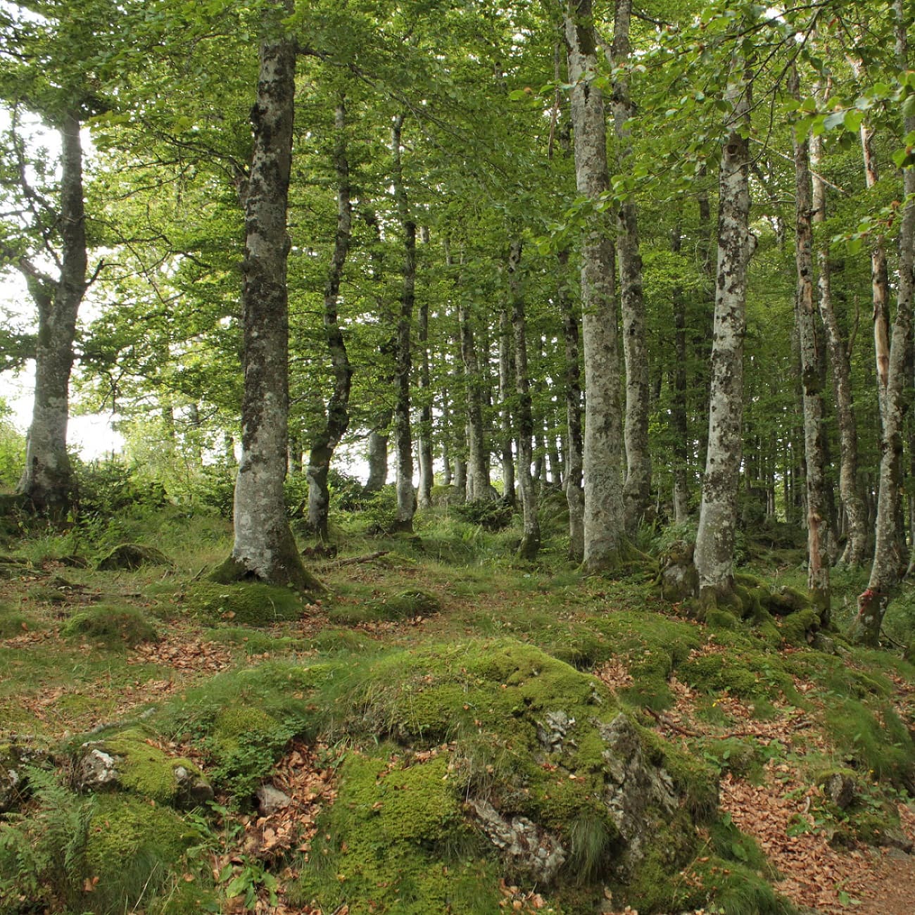
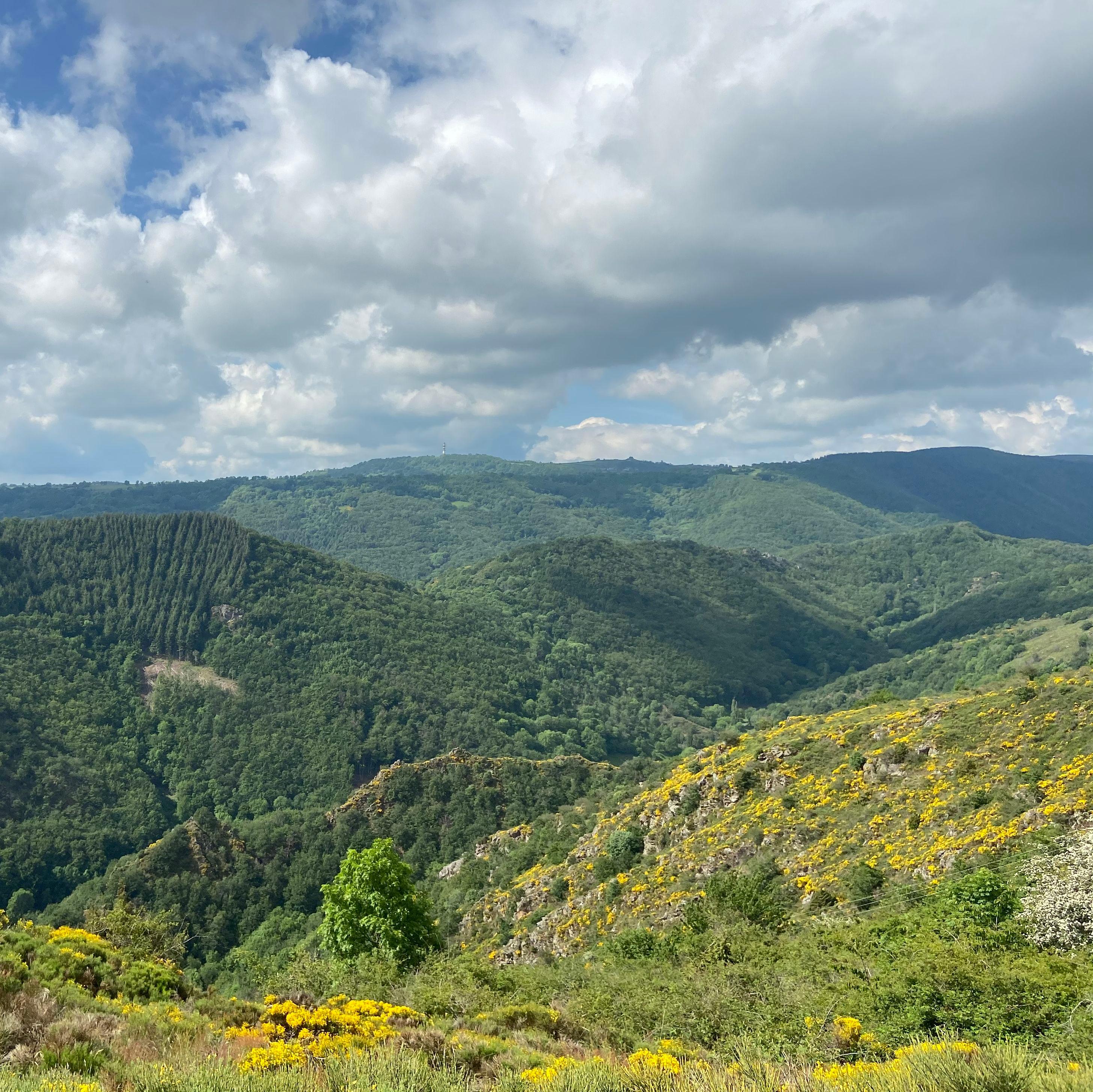
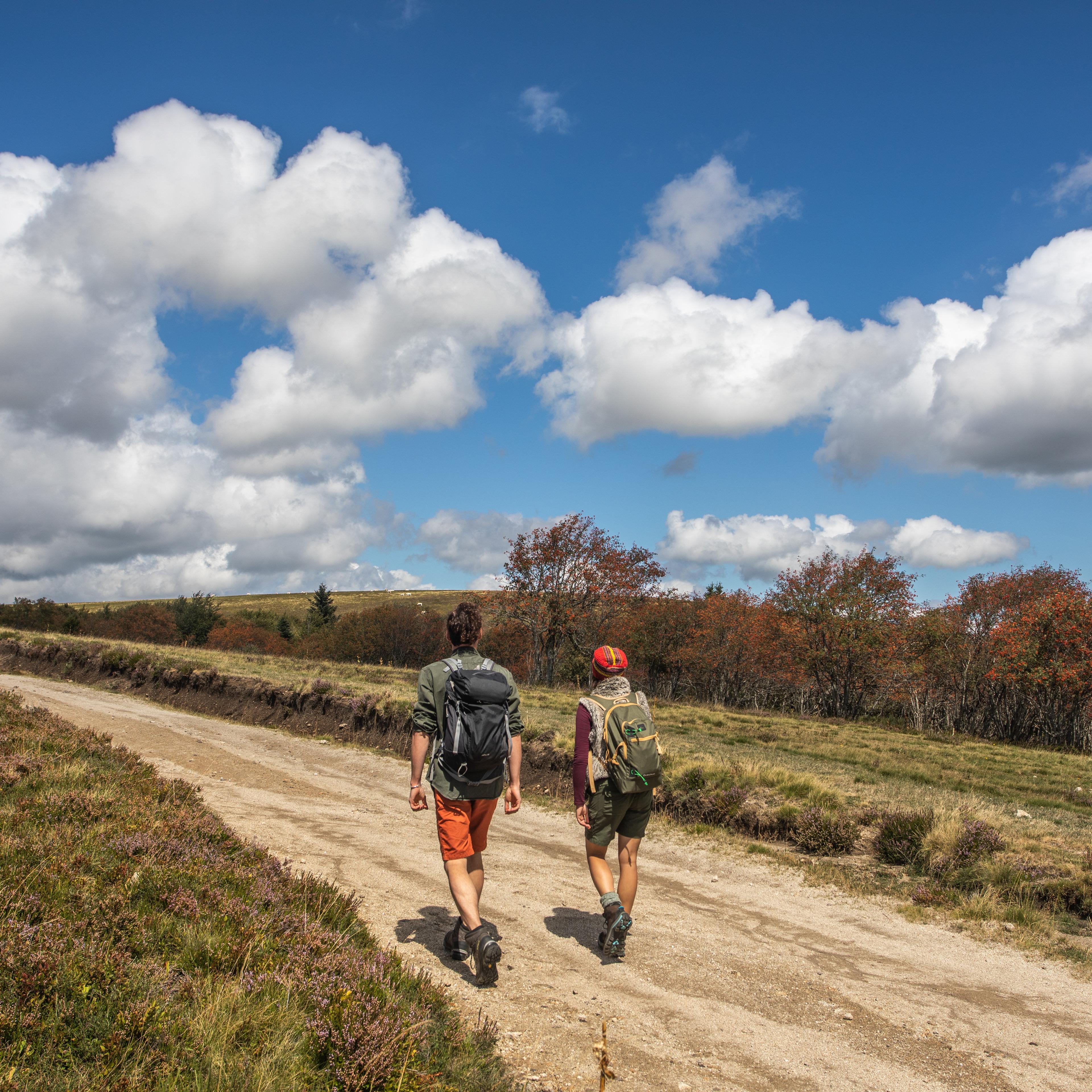
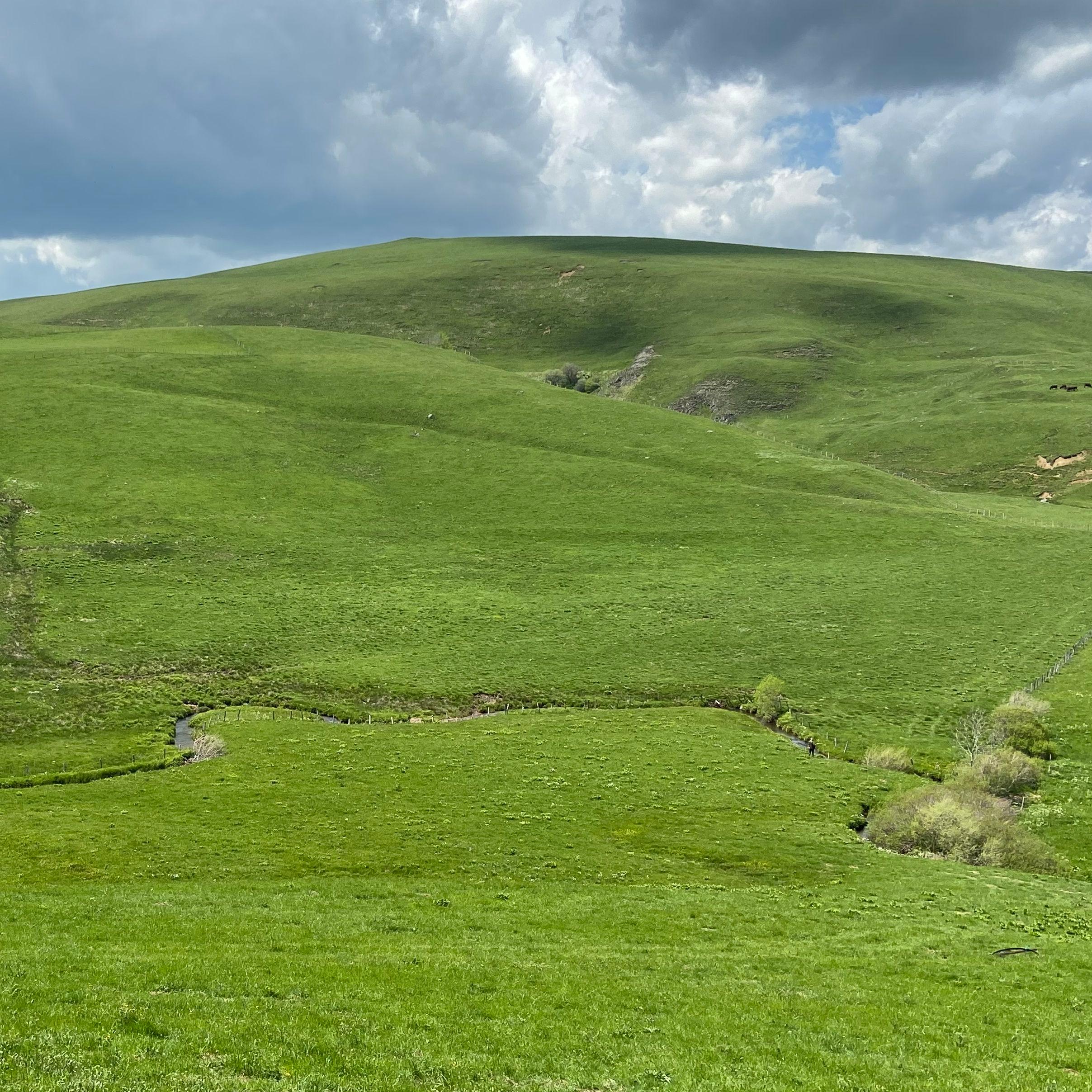
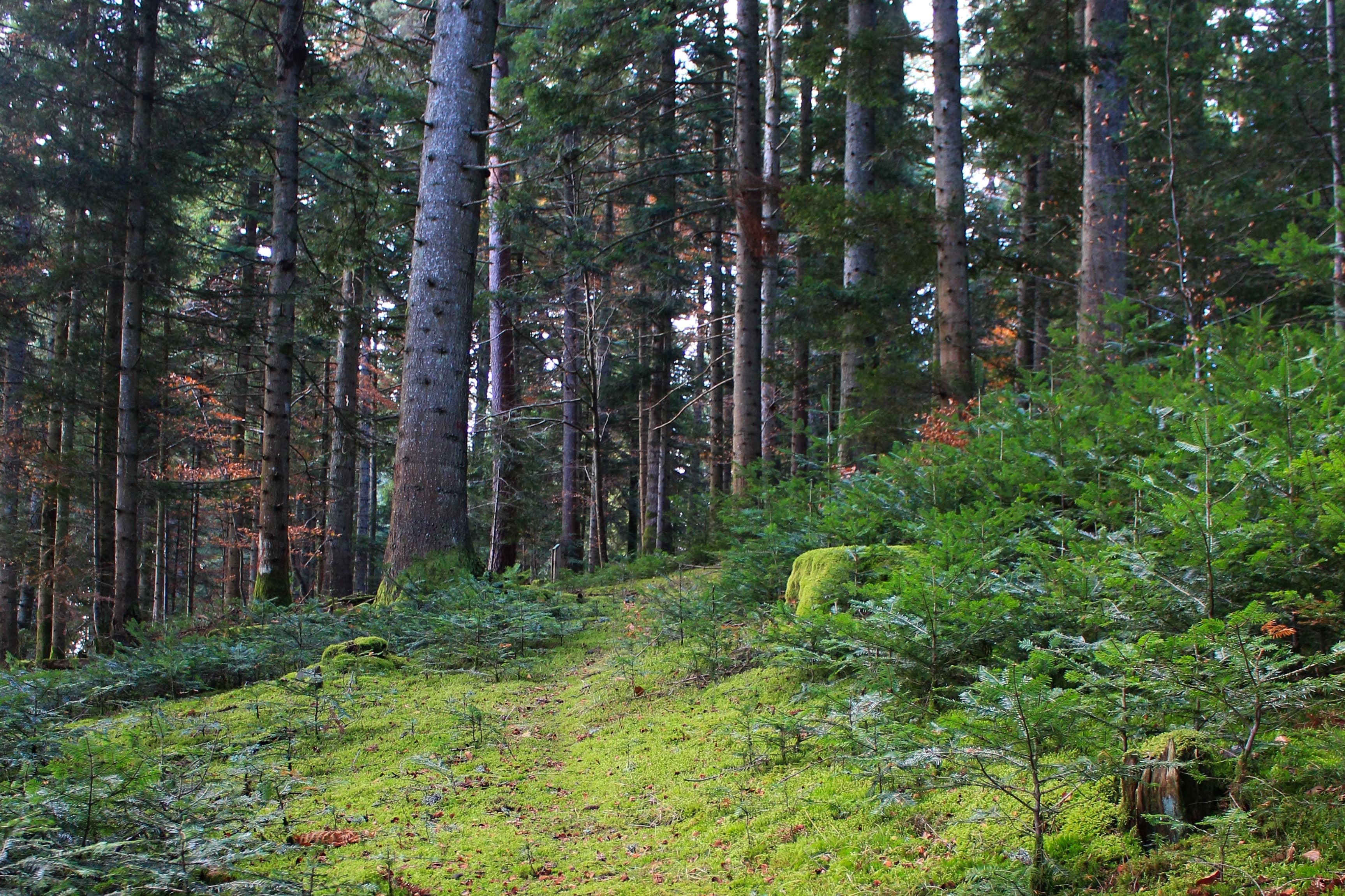
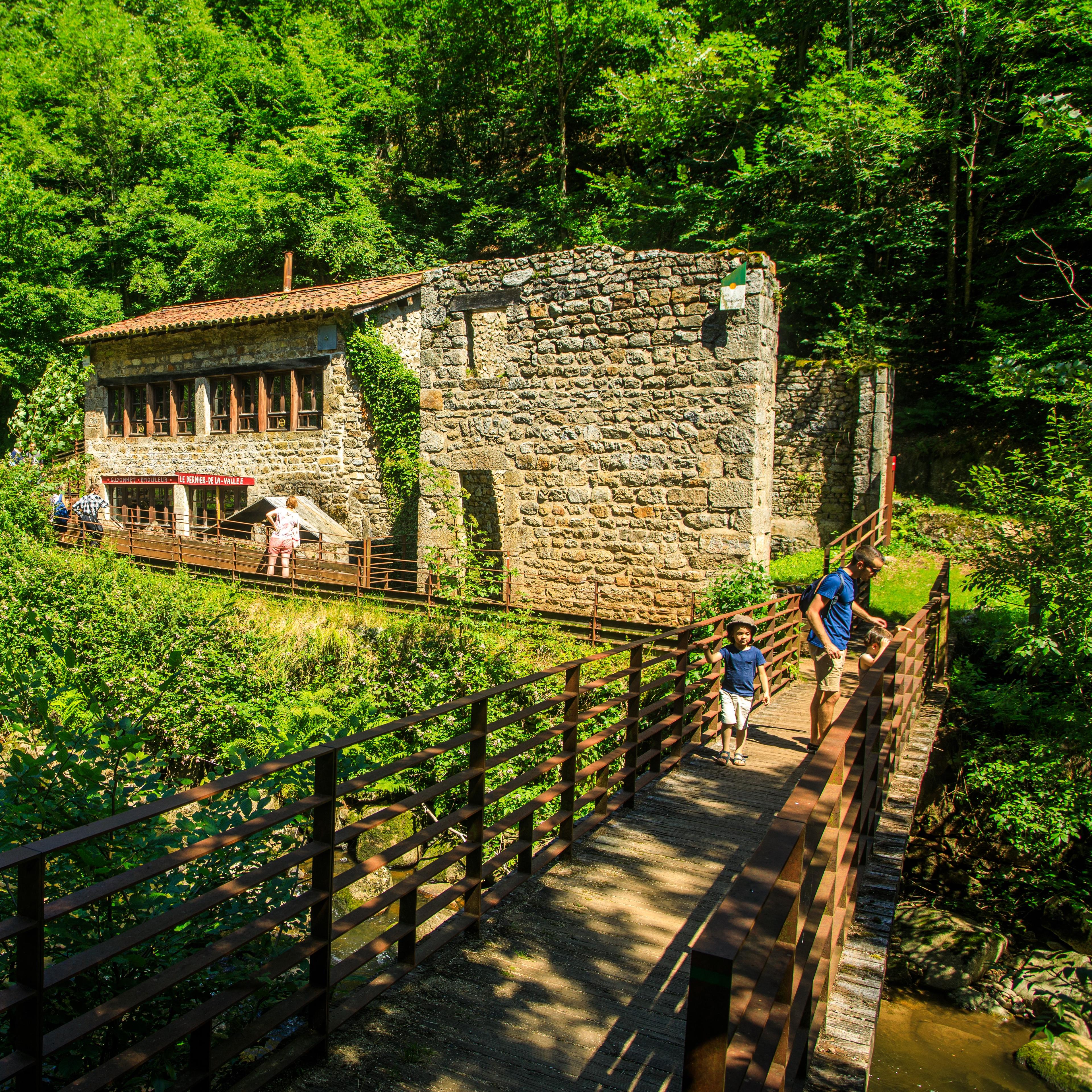
Auvergne is a hiking ground like no other: dormant volcanoes, high plateaux, deep gorges, hautes-chaumes moorland. You'll find anything from a one-hour family walk to five days in a row along a GR. Here are the waymarked routes approved by the hiking committees and the nature parks.
On foot On foot
 On foot
Start: Au panneau de randonnée, au bout du parking le long de la route
 On foot
 On foot
 On foot
 On foot
 On foot
Start: Parking aménagé des Cases de Cotteughes, Saint-Vincent-de-Salers, 15380
 On foot
 On foot
 On foot
 On foot
 On foot
 On foot
 On foot
Start: Place du Cézallier à Allanche
 On foot
Start: Parking place du Cézallier à Allanche
 On foot
Start: Parking de l’église à Anzat-le-Luguet
 On foot
Start: Parking de la maison des fromages AOP
 On foot
 On foot
Start: Brion “Le Foirail” à Compains
 On foot
 On foot
 On foot
 On foot
 On foot
Start: Hôtel de ville de Marcenant
 On foot
 On foot
Start: Parking place de l’église à Montgreleix
 On foot
Start: Parking à l’entrée du village sous la mairie de Peyrusse.
 On foot
Start: Pont des Eaux
 On foot
 On foot
Start: Parking à côté de l'église, au centre du bourg
 On foot
Start: Au pied Est du Rey de St-Pierre, près du passage à niveau.
 On foot
 On foot
 On foot
 On foot
 On foot
 On foot
 On foot
 On foot
Start: Panneau de départ et petit parking, sur la D32, en bas du village, face à la mairie
 On foot
 On foot
 On foot
 On foot
 On foot
 On foot
 On foot
 On foot
 On foot
 On foot
 On foot
 On foot
 On foot
 On foot
 On foot
 On foot
 On foot
 On foot
 On foot
 On foot
Several major routes criss-cross the region: GR4 (Mediterranean-Atlantic), GR3 (along the Loire), GR40 (Tour du Velay), GR400 (Tour des Volcans du Cantal), GR430 (Saint-Régis), GR470 (Sources et gorges de l'Allier), GR300 (Tour de la Chaîne des Puys et Sancy).
From May to October above 1,200 m (Sancy, Cantal, Mézenc). April and November are still fine in the mid-mountains and on the plateaux. Winter: snowshoes recommended above 1,000 m.
No. The waymarked trails (PR, GR, GRP) are free to use. A few protected areas (the Chastreix-Sancy nature reserve, fragile summits) have specific rules posted on site: stay on the waymarked path.
Menu
Publish a discovery
Your photos, your impressions, or a spot we haven't listed yet.