
Le Mars
Start: Place de l'église, le Falgoux
A walking route in the heart of the imposing, green Mars valley, with viewpoints over the highest peaks of the Monts du Cantal.
- Distance
- 9.6 km
- Elevation gain
- +491 m
- Elevation loss
- -492 m
- Duration
- 3 h
Route on the map
Base map © OpenTopoMap (CC-BY-SA): route licensed under ETALAB-2.0 via PNR des Volcans d'Auvergne.
The feel of the route
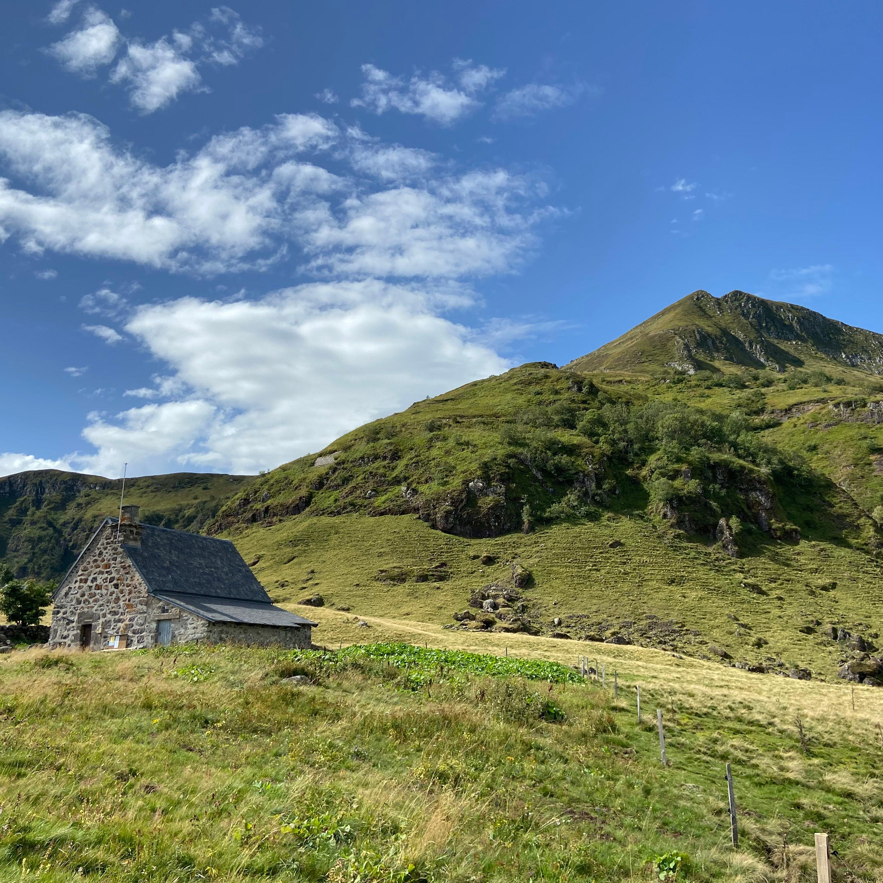
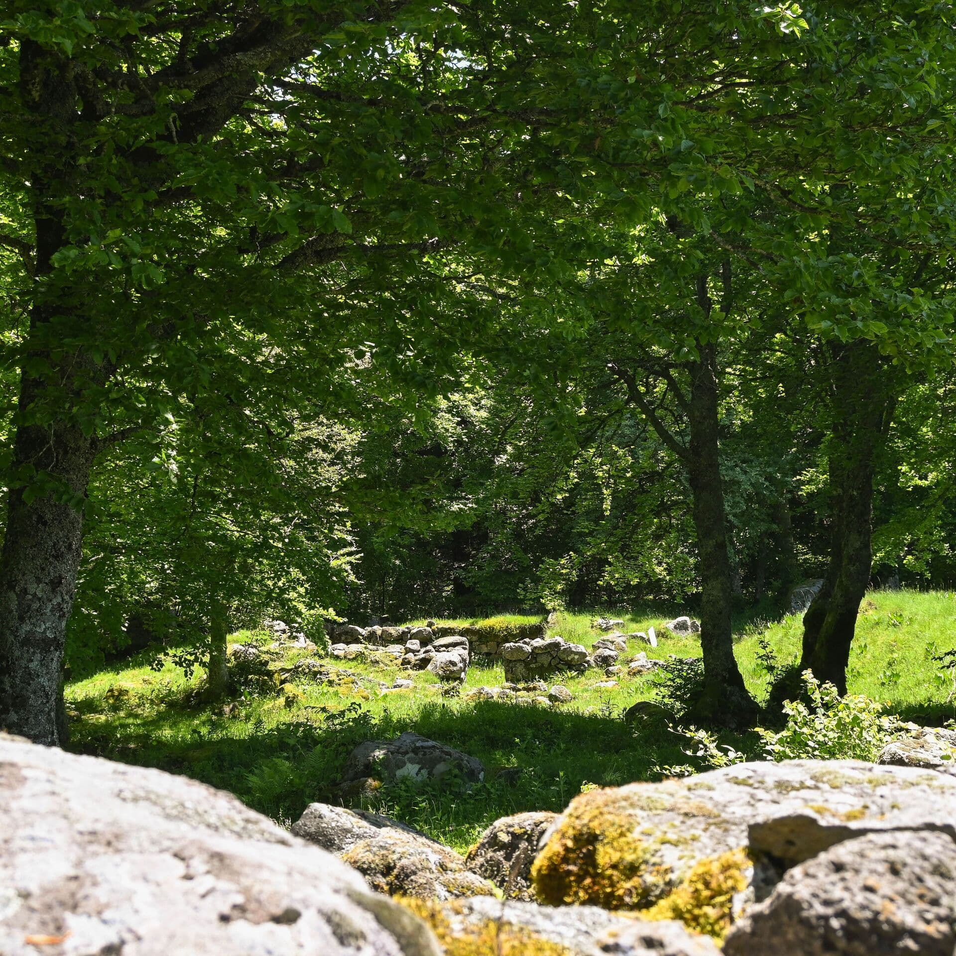
A route starting from Le Falgoux, a small mountain commune: the highest in the Mars valley. Your gaze will take in nearly 800 hectares of forest and the Puy Mary, the remains of the largest stratovolcano in Europe, awarded the Grand Site de France label. The path is lined with dry-stone walls, you will pass close to herds of Salers cattle, to burons (old stone huts) reflecting the valley's rich pastoral past, and to the little river Mars, a haven for brown trout.
The route in detail
Start: park on the church square. Set off towards Mauriac and take the road on the right at the sign marking the end of the built-up area. Climb on the left. Follow the yellow waymarking.
Take the grassy track on the left before the house; reach the road. Follow it to the left, go behind the house and continue on the wide stony track.
Go past two barns and take a track that climbs on the left. Reach a barn by taking two lefts. Follow the waymarking carefully.
The track passes above a second barn. Go down alongside the fence, cross a meadow diagonally. The track continues and passes in front of a barn.
Take a short path on the left that joins a wide track. Climb on the left and pass above Le Ménial.
Take a stony track that goes down to rejoin the road. In a hairpin, take the grassy track on the right that passes above a farm then goes down to La Franconèche.
Take the road to the right, cross the bridge and take a grassy track on the left that crosses the Mars. On reaching Fontolive, take the road on the left then straight away on the right. After the holiday camp, the road becomes a track that you follow straight on, passing beneath a cliff.
Rejoin the road that goes down to Le Falgoux.
In pictures


Other hikes in the area
 On foot
 On foot
Cases de Cotteughes
Start: Parking aménagé des Cases de Cotteughes, Saint-Vincent-de-Salers, 15380
- 6.5 km
- +211 m
- 2 h 15 min
 Mountain biking
La Planèze (mountain bike)
Start: Trizac, place de la Bascule au dessus de la station service du Garage
- 21.8 km
- +544 m
- 3 h 30 min