
62 - La Saint-Bonnette
Start: Saint-Bonnet-le-Froid
All along this invigorating, technical loop that starts at 1,100 m altitude, you will cross a wooded plateau and small, deep-cut valleys. If needed, a link is offered at km 7 to join the D44 and shorten the circuit by 9 km.
- Distance
- 27.3 km
- Elevation gain
- +916 m
- Elevation loss
- -917 m
- Duration
- 2 h 15 min
Route on the map
Base map © OpenTopoMap (CC-BY-SA): route licensed under ETALAB-2.0 via Données : Comité Départemental Randonnée Pédestre Haute-Loire · FFRandonnée · sportsnature.hauteloire.fr — sous licence ETALAB 2.0.
The feel of the route
A visit with a local ambassador:
St Bonnet Le Froid, an unusual village with a worldwide reputation. Meet Marie-France or Jean, who will be happy to explain this success story: Saint Bonnet le Froid, a village that lives up to its name (Le Froid means “the cold”), since it sits at 1,170 metres altitude, on a plateau lashed by the winds; but also a gourmet village: for a population of 240, it has 7 restaurants, from the rural inn to the three-Michelin-star restaurant. How did this little village, which a few years ago had 138 souls and a school with 6 pupils, manage to grow, develop and become known nationally and internationally? We will try to explain this transformation to you, make you want to come and see us, and tell you about its inhabitants, who clung to their village and keep innovating to attract customers to it.
For information, contact the Haut Pays du Velay tourist office - 04 71 59 95 73 <a href="https://hautpaysduvelay-tourisme.fr/">https://hautpaysduvelay-tourisme.fr/
</a>
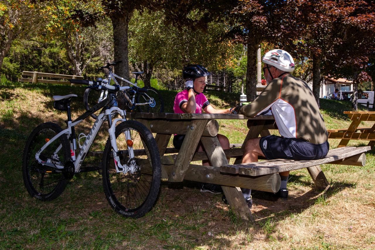
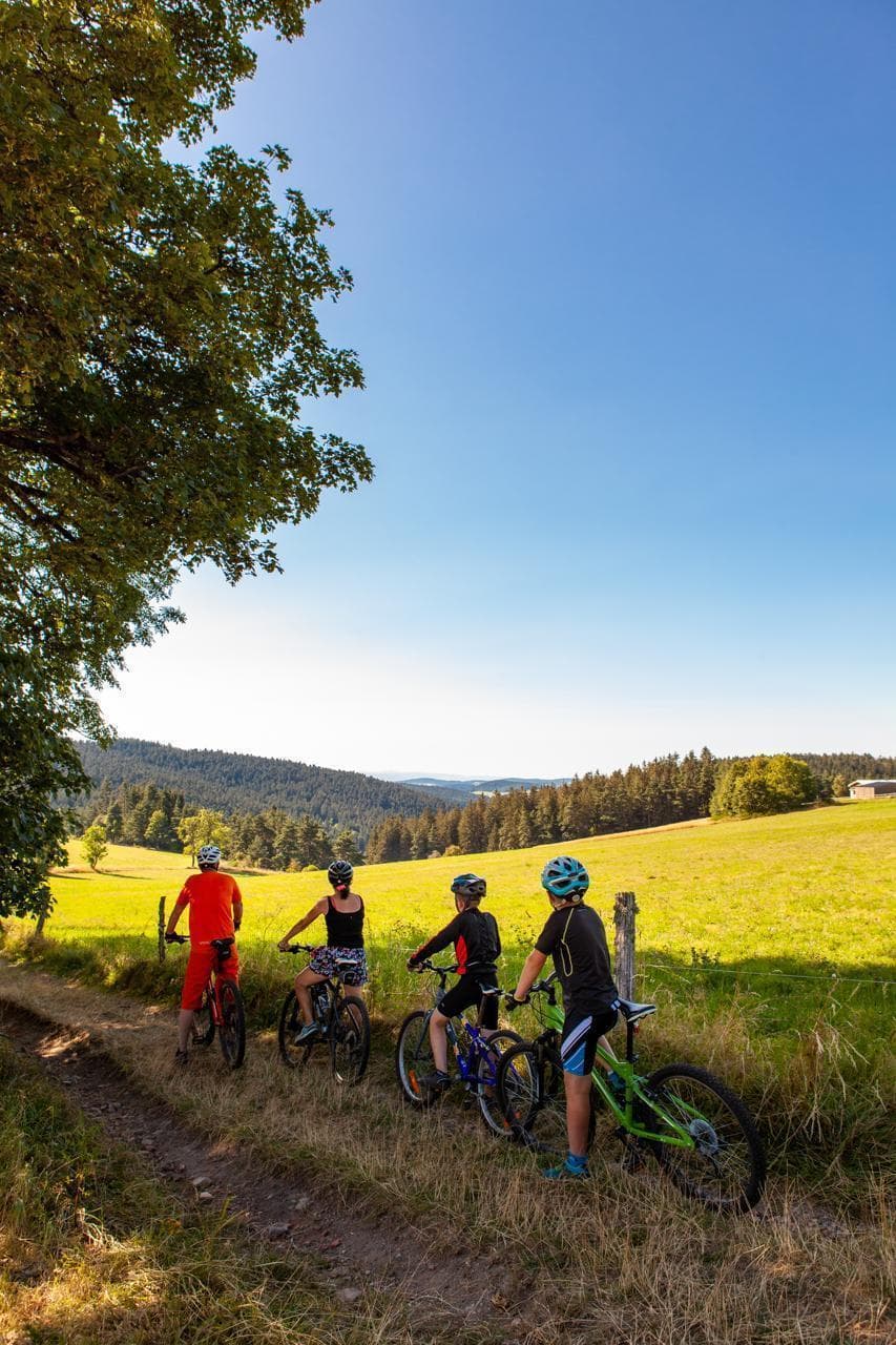
In pictures
Other hikes in the area
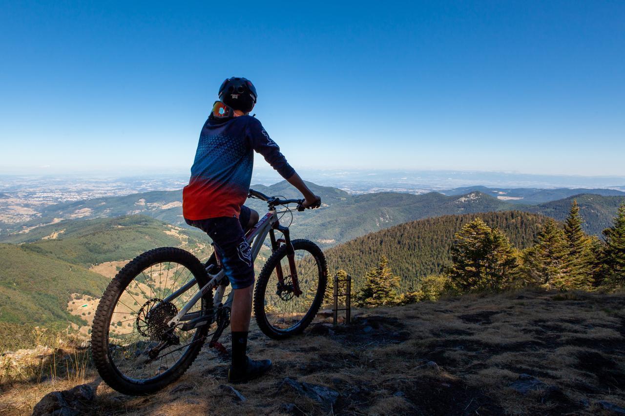 Mountain biking
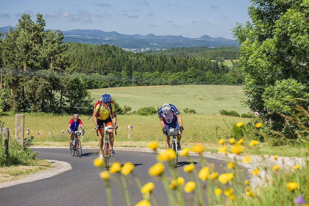 Cycling
Crafts in the land of gourmet treats
Start: Parking de la gare de Montfaucon-en-Velay
- 50.1 km
- +863 m
- 3 h
 Cycling
37 - On the roads of the Haut Velay
Start: Parking de la gare de Montfaucon-en-Velay
- 62.3 km
- +1174 m
- 4 h