
7 - Towards the Pic du Lizieux
Start: Le Mazet-Saint-Voy
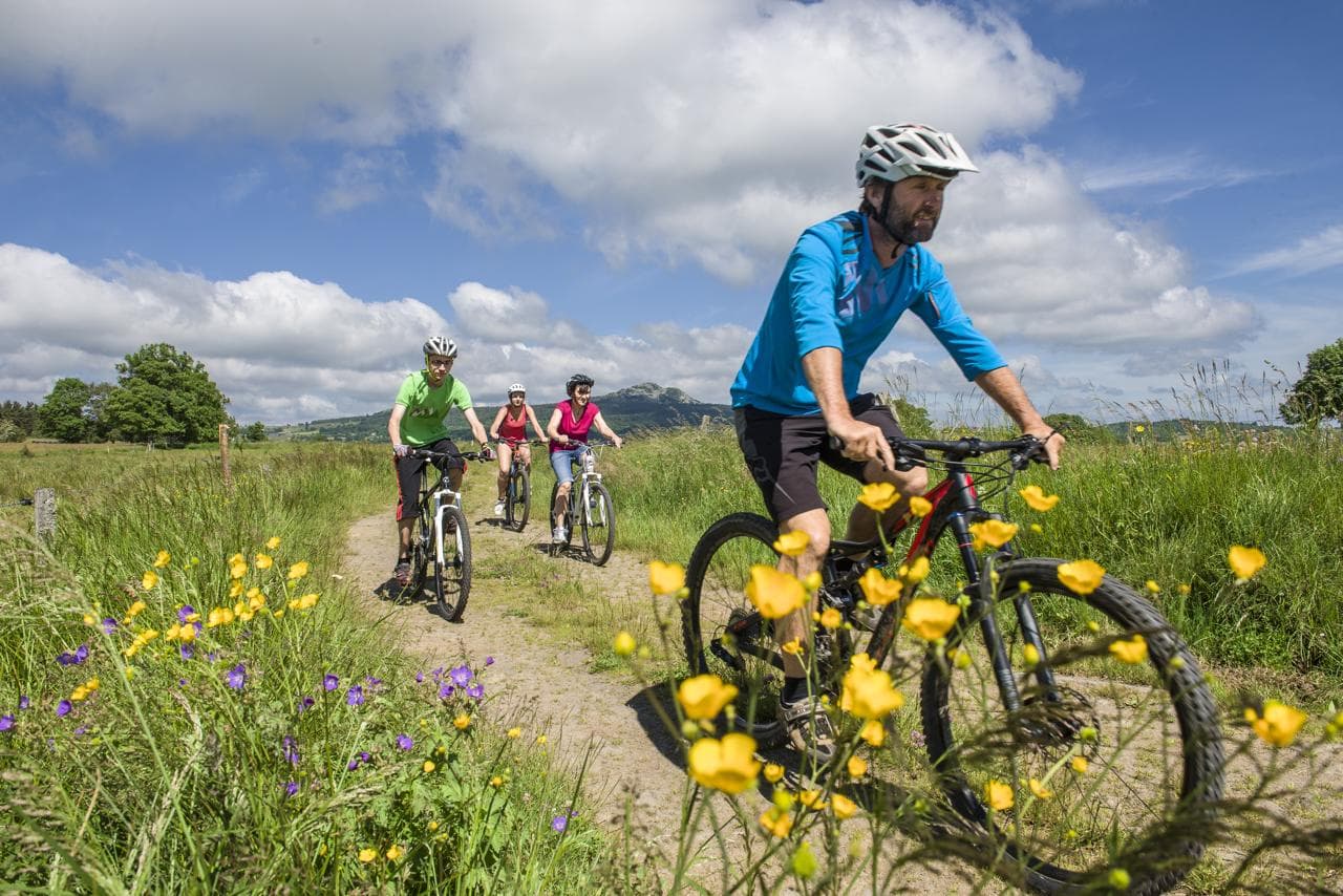
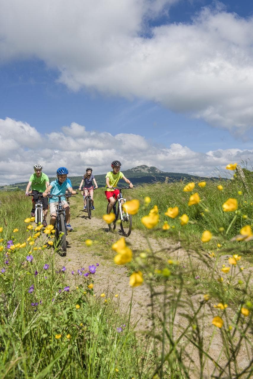
The chlorophyll-green expanses of the Lizieux are yours to conquer! This Natura 2000 site offers a mountain bike circuit alternating between conifer forests and broad views of the plateau, with the Mézenc and the whole chain of the sucs (volcanic peaks) as a backdrop. You can also admire the traditional architecture, with stone farms under lauze (stone slab) roofs, and the wide expanses of meadow where horses graze, which give the area a touch of Ireland. Warning: forestry work from 20 April to 20 June 2026 on the Lizieux massif! Stay alert!
- Distance
- 26.2 km
- Elevation gain
- +623 m
- Elevation loss
- -623 m
- Duration
- 2 h
Route on the map
Base map © OpenTopoMap (CC-BY-SA): route licensed under ETALAB-2.0 via Données : Comité Départemental Randonnée Pédestre Haute-Loire · FFRandonnée · sportsnature.hauteloire.fr — sous licence ETALAB 2.0.
The feel of the route
The Pic du Lizieux is not just a recognised geological event. It is also a major spot for outdoor activities, and an open book for lovers of history and unspoilt nature. You can reach the summit of the old volcano via a walking circuit, the Bonas path, and discover the secrets of the Pic du Lizieux step by step: the Dentellière rock, an old castle, the Protestant cemetery, a memorial stele to the Resistance, … On site, make the most of the facilities: a game of the goose, a quiz, a play-and-sport workshop, Nordic walking circuits, mountain biking, enduro, …
The route in detail
The first three kilometres climb towards the D15, then the next 3 drop down to the Ligne stream. After that, you have to climb 300 metres of elevation through the woods to reach the Pic du Lizieux massif (1,388 m), the halfway point of the circuit. The rest of the route has a more downhill profile through forest landscapes in the Lizieux woods, then farmland and more open country as you head back to the village of Le Mazet-Saint-Voy.
In pictures
Other hikes in the area
 Other activity
 Cycling
 Mountain biking