
The Veygoux loop (mountain bike)
Start: Manoir de Veygoux, Charbonnières-les-Varennes
Starting from the Manoir de Veygoux, discover the surroundings of Charbonnières-les-Varennes and fine viewpoints over the volcanoes of the Chaîne des Puys.
- Distance
- 10.1 km
- Elevation gain
- +174 m
- Elevation loss
- -174 m
- Duration
- 2 h
Route on the map
Base map © OpenTopoMap (CC-BY-SA): route licensed under ETALAB-2.0 via PNR des Volcans d'Auvergne.
The feel of the route
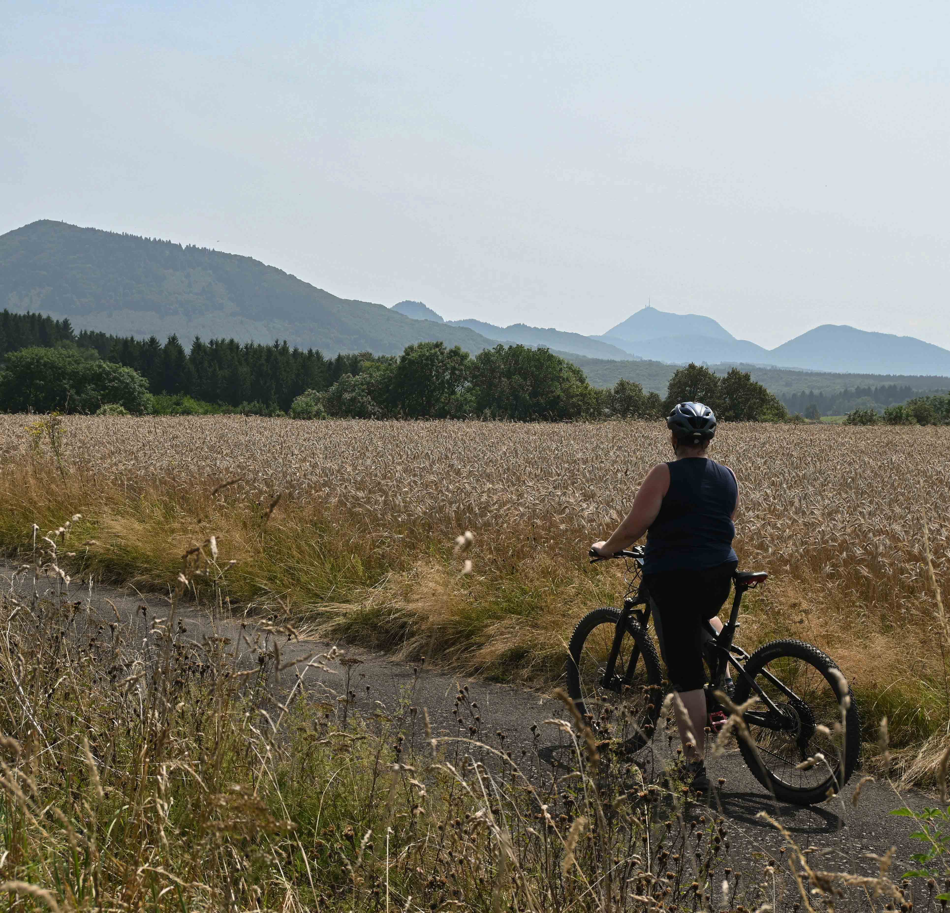
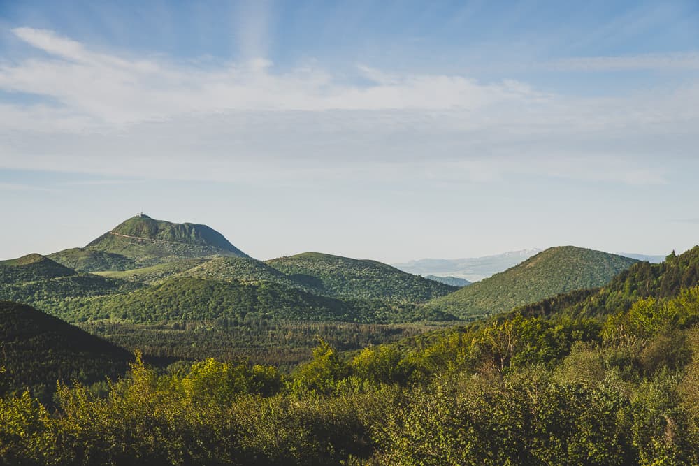
On a path between country hedgerows, the start of this route goes through the village of Charbonnières-les-Varennes. You then pick up a dirt path that gives you a few views over the volcanoes. Puy de Paugnat, puys de Jume and Coquille, puy de Louchadière… can you recognise them? Round the bends in the paths, take the time to look at the small heritage features and the landscapes formed by volcanic activity.
The route in detail
Follow the blue mountain bike waymarking (route no. 9) Start: Manoir de Veygoux.
Skirt the car park then turn left onto a tree-lined path.
At the road, opposite the bridge, cross and turn left, then right and follow a small path.
Turn right, go past the fountain and carry on. At the cemetery, go left and carry on along this road. At the stop sign, cross and carry on straight ahead.
Go right just before the farm garage then carry on to Le Bouy.
At the Y-junction, bear left.
Turn right and follow the path straight ahead.
Carry straight on to the next houses.
Turn right then left and carry straight on.
Go right to reach the village of Beaunit.
After going through Beaunit, turn left then skirt the forest.
Take the left then the right at the Y-junction.
Go left and return to the starting point.
In pictures


Other hikes in the area
 Mountain biking
 On foot
Puy de Jumes, Puy de la Coquille and Puy des Gouttes
Start: Parking de la D576 en direction de Beauregard
- 14.6 km
- +487 m
- 4 h
 Cycling