
Between Crevant and Laveine
Start: Monuments aux Morts, Crevant-Laveine
- Distance
- 10 km
- Elevation gain
- +126 m
- Elevation loss
- -126 m
- Duration
- 2 h 45 min
Route on the map
Base map © OpenTopoMap (CC-BY-SA): route licensed under ODbL via Données : Parc Naturel Régional Livradois-Forez · rando.parc-livradois-forez.org — sous licence ODbL.
The feel of the route
The alluvial forests of the Creux Bérau
The Creux Bérau natural site has a remarkable natural heritage, with its alluvial forests interspersed with meadows and oxbow channels of the Allier. In the past a site of major activity, as on any river route (freight transport, timber floating), the banks of the river at Creux Bérau saw the local population bring their herds to graze or cut firewood. Little by little, the river stopped being a place for meeting and social life. Between 1800 and 1850, the Allier shifted course and the homes of the time were rebuilt away from the water. Today, building is not allowed in the floodplain, to avoid any damage from seasonal floods. The alluvial plain has a particularly rich biodiversity, which comes from the river's constant back-and-forth, which also erodes the banks. This movement, known as “fluvial dynamics”, makes the Allier one of the last wild rivers in Europe. It is also behind the quality of the water table, which is pumped here for the region's drinking water supply. A waymarked path takes you to discover this natural site. You can see the Great White Egret in winter, the Black Kite and the Night Heron in summer, and all year round the European Beaver and the Little Egret. The site is listed as an Espace Naturel Sensible (sensitive natural area) by the Puy-de-Dôme departmental council.
The route in detail
Start: From the war memorial in the Square Jean Moulin, take the Rue de Laveine (D223) on the right for 50 m, then turn left onto the tarmac track of the Chardières. At the “stop” sign, take the stony track straight ahead (watch out, fast traffic on the departmental road). 150 m further on, at the crossroads, follow the track straight ahead to enter the broadleaf plantation. Carry on along the same track, which runs beside a meadow and then a pond.
1. At the end of the pond, at the T-junction, turn right. 20 m further on, at the next crossroads, turn left at a right angle as far as the small tarmac road (view of Montgacon hill and its water tower).
2. Take the tarmac road on the right and go between the houses; take the first track on the right. At the junction of 4 tracks, turn left.
3. Turn right (straight ahead, a there-and-back to the château is possible, private property), passing two tracks on your right. At the crossroads, carry straight on.
4. At the fork, bear left. 20 m further on, leave the main track and turn left to enter the Grand Bois.
5. At the D94 (view of the Bois Noirs massif), follow it for 50 m, then take the first track on the right as far as the D94, which you meet again; take it again to the right for a few metres, then take the first track going down on the right (view of Montgacon hill opposite).
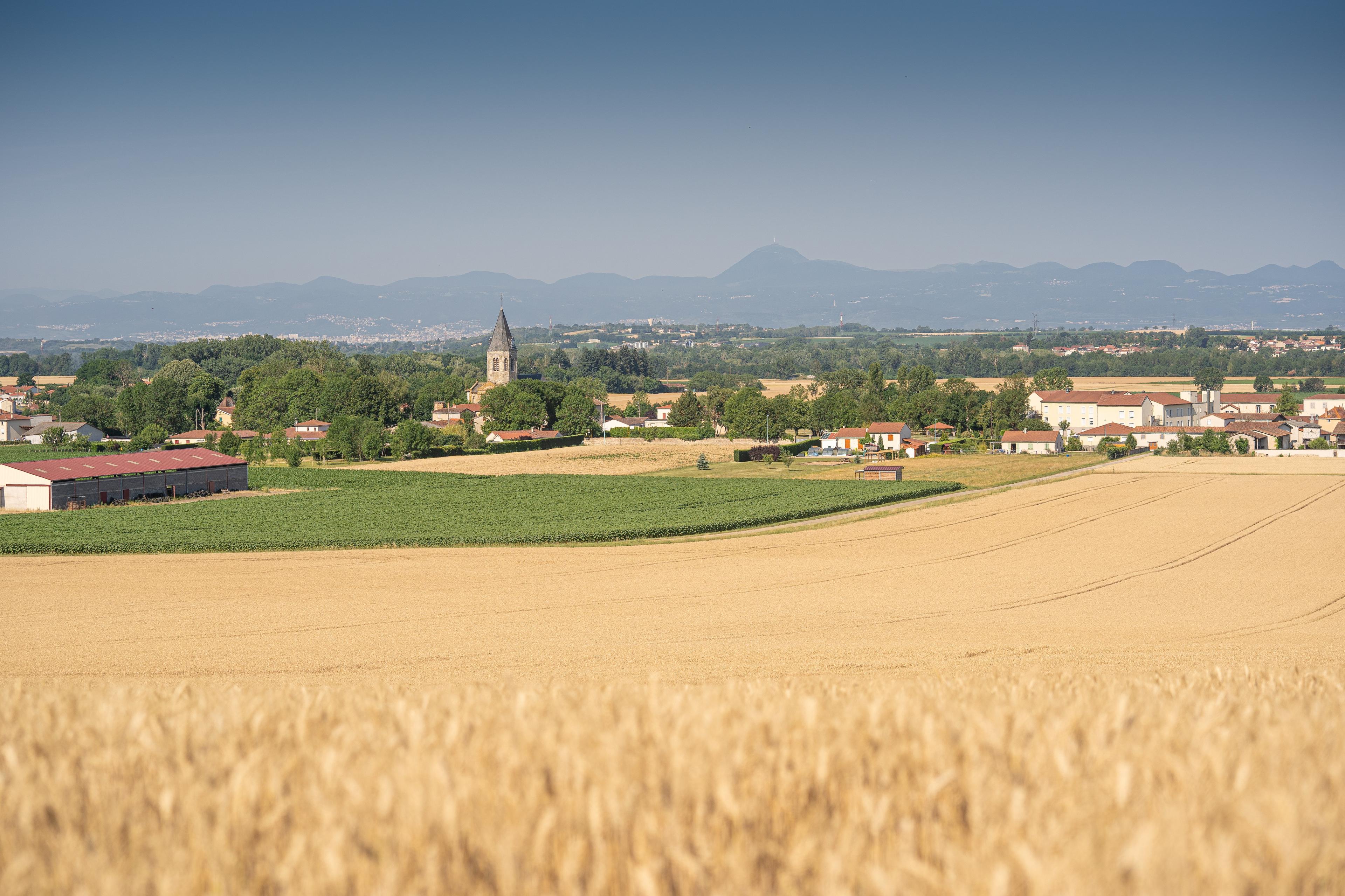
6. At the D4, cross it and take the tarmac street opposite (view of the Vinzelles bell tower in the foreground on the left, the Chaîne des Puys and the Massif du Sancy ahead). At the crossroads, at the wrought-iron cross, carry straight on. At the T-junction (view of the Vinzelles bell tower on the left), take the dirt track on the right (view of the Chaîne des Puys on the left and, in the foreground, the Crevant-Laveine bell tower). Pass the first track on the left and carry straight on.
7. At the crossroads (view of the Crevant-Laveine bell tower in the foreground, the Massif du Sancy in the middle distance and the Chaîne des Puys), turn left. At the junction on the bank of the Allier, turn left for 30 m, then take the track immediately on the right to follow the Allier. At the reservoir, bear slightly right and keep following the Allier.
8. At the next crossroads, turn left to rejoin the D4. Cross it to enter the hamlet of Les Blanchards opposite (ignore the road on the left leading to Reynauds hamlet); carry straight on along the tarmac. Go past the wash house and keep going straight on; the tarmac becomes a path. At the top of the slope, turn right and go past the wash house; at the next crossroads, climb to the left to reach the D223.
9. Cross the D223 opposite to enter the village of Crevant-Laveine. Then turn right onto the Rue de la Mairie towards the church. Just before it, turn left onto the Rue Bajolet. After the church, at the next crossroads, by the Goutte d'Orgiat, carry on to the left. At the “give way” sign, turn left to return to the Square Jean Moulin and the war memorial.
In pictures


Other hikes in the area
 On foot
 Cycling
Discovering Randan and Maringues (road circuit no. 28)
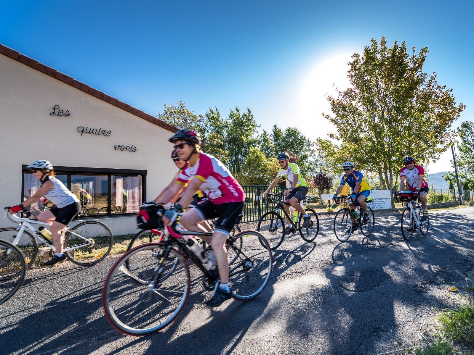
Start: Centre nature les 4 Vents
- 117 km
- +1022 m
- 7 h
 On foot