
 Mountain biking
Easy
Département 63 · Puy-de-Dôme
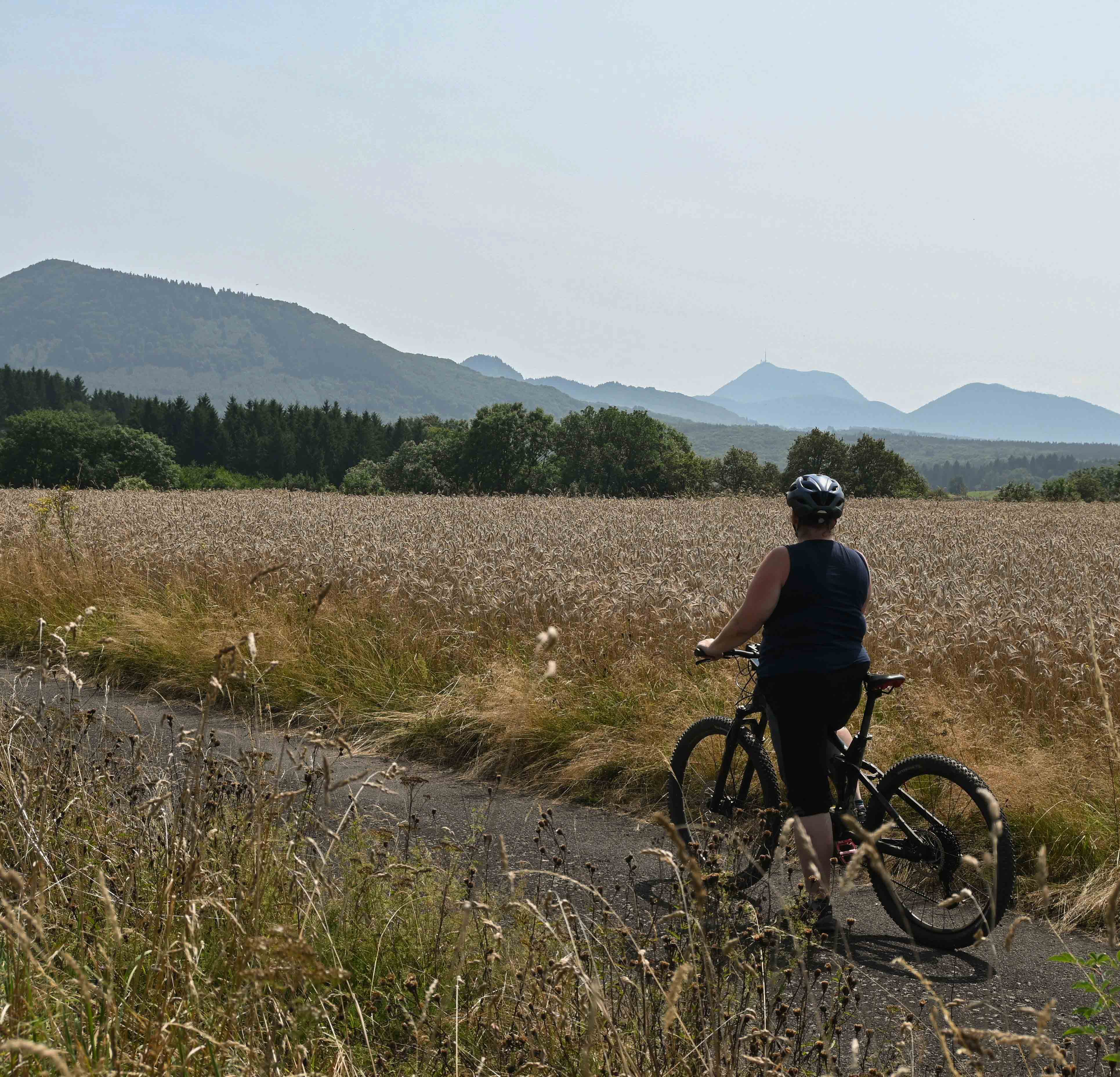
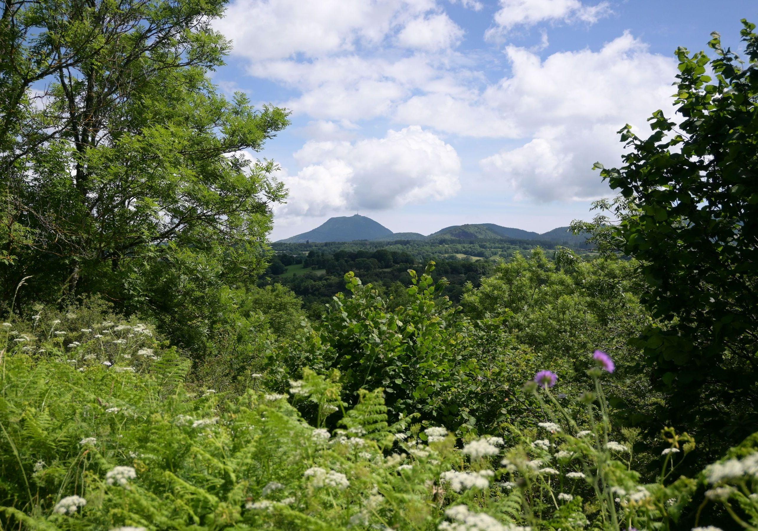
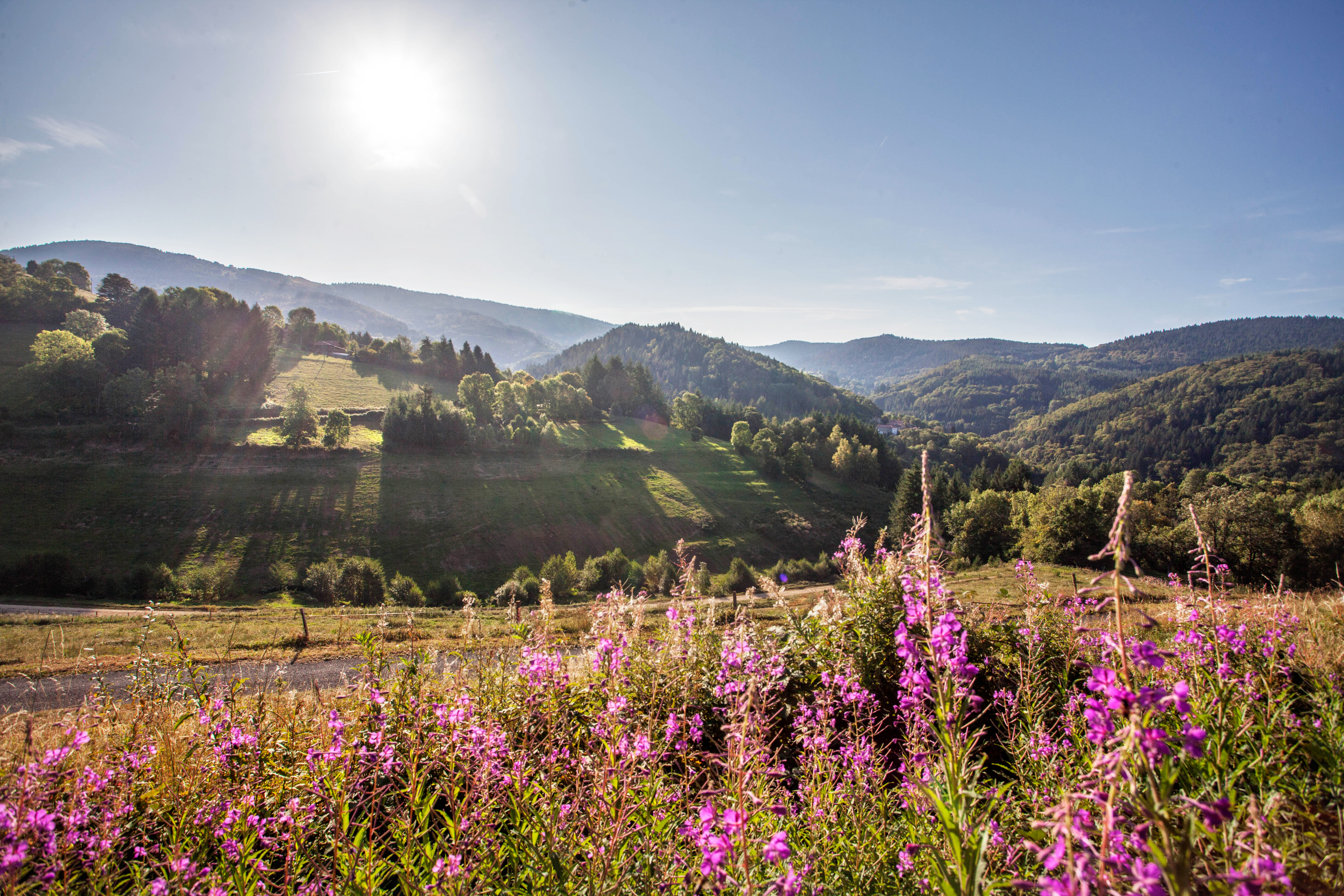
Puy-de-Dôme gathers the Auvergne classics: the UNESCO-listed Chaîne des Puys, the Sancy massif with its highest summit (1,885 m), glacial valleys, volcanic lakes. The Livradois-Forez regional nature park rounds it off to the south-east with Hautes-Chaumes moorland and industrial heritage. The routes cover every level.
Mountain biking On foot
 Mountain biking
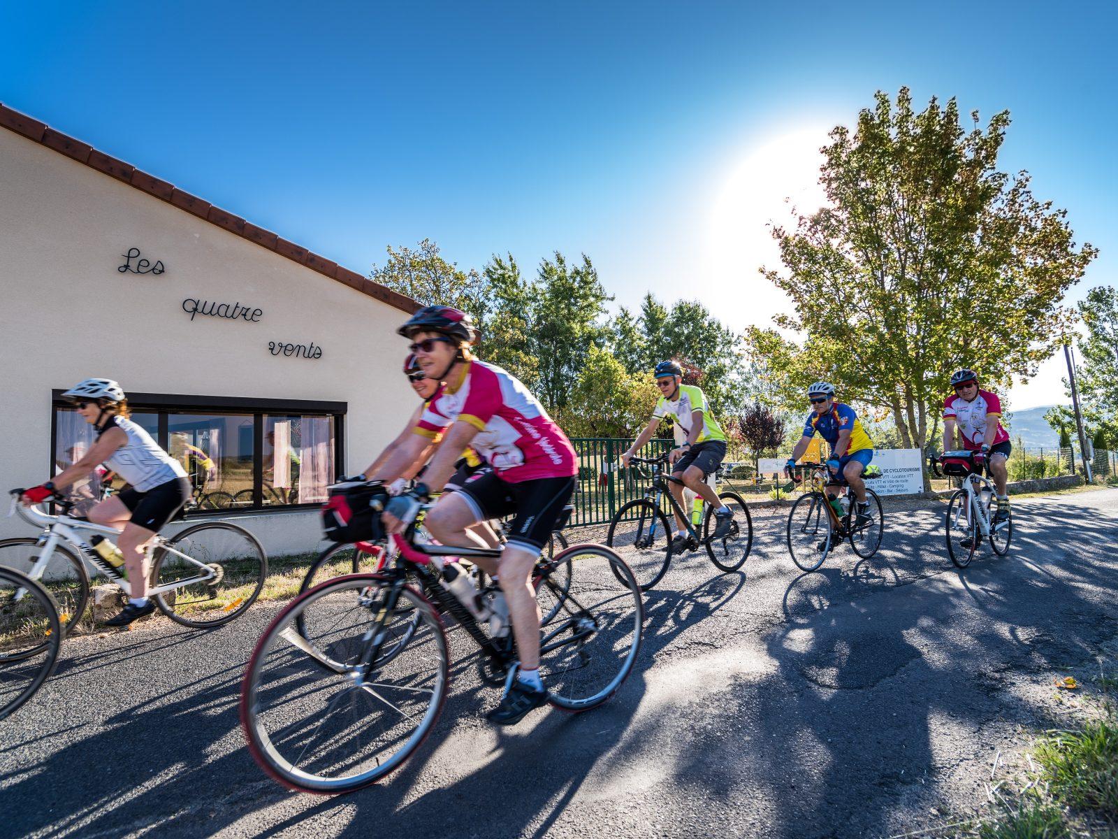
Start: Centre nature des 4 vents (Aubusson d'Auvergne)
 Cycling
 On foot
Start: Au panneau de randonnée, au bout du parking le long de la route
 On foot
 On foot
 On foot
 Cycling
 On horseback
 Cycling
Start: Centre nature les 4 Vents
 Cycling
Start: Sauxillanges - Place de la Promenade
 On foot
 On foot
 Cycling
 Cycling
Start: Centre nature des 4 vents (Aubusson d'Auvergne)
 Cycling
 Mountain biking
 Mountain biking
 Mountain biking
 Mountain biking
 Mountain biking
 Mountain biking
 Mountain biking
 Mountain biking
 Mountain biking
 Mountain biking
 Mountain biking
 Mountain biking
 Mountain biking
 Mountain biking
 Mountain biking
 Mountain biking
 Mountain biking
 Mountain biking
 Mountain biking
 Mountain biking
 Mountain biking
 On foot
 Mountain biking
Start: Col du Béal (Saint-Pierre-la-Bourlhonne)
 On foot
 On foot
Start: Parking de la maison des fromages AOP
 On foot
 On foot
Start: Brion “Le Foirail” à Compains
 On foot
 On foot
 On foot
 On foot
 On foot
Start: Pont des Eaux
 Cycling
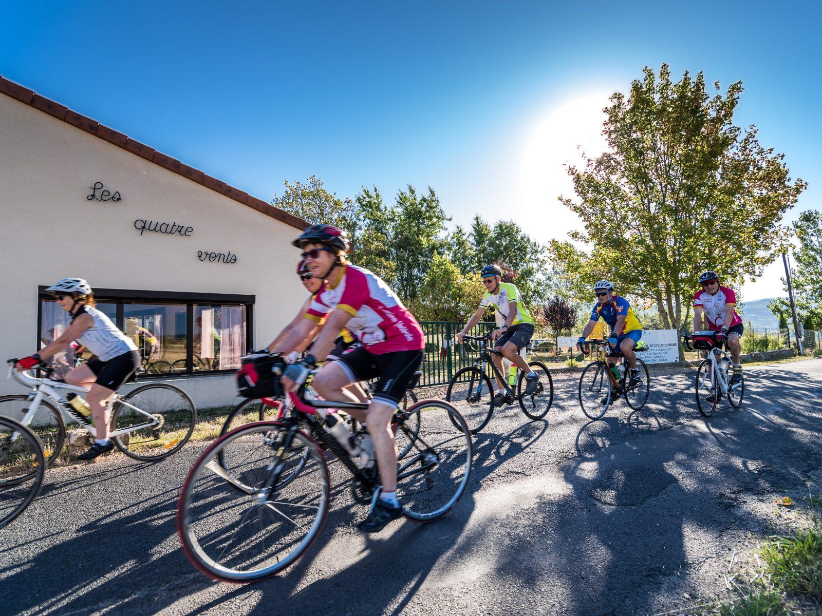
Start: Centre nature les 4 Vents
 On foot
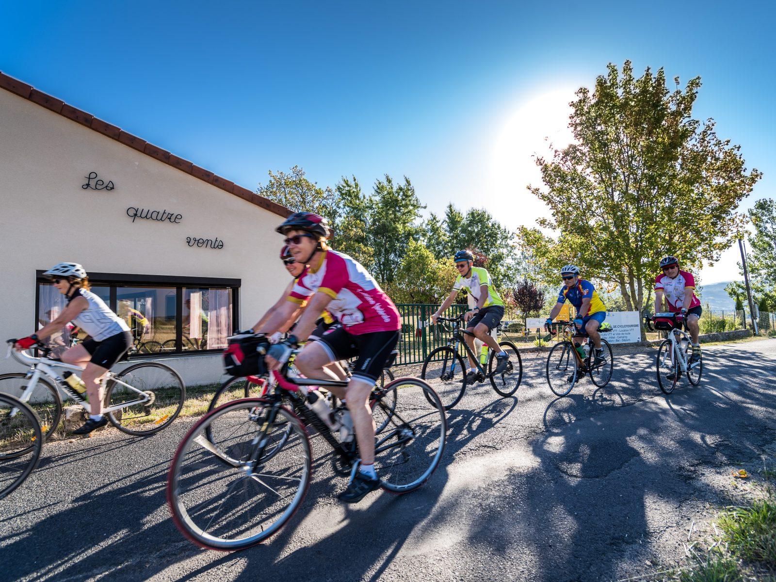 Cycling
Start: Centre nature les 4 Vents
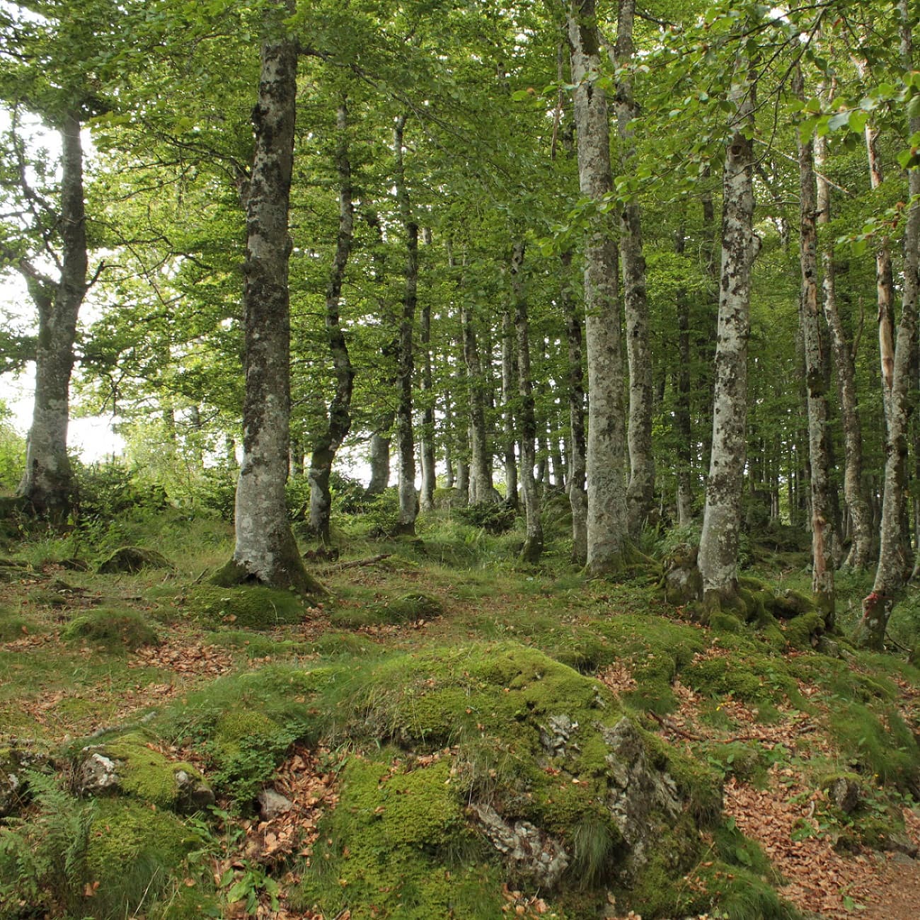 On foot
Start: Parking à côté de l'église, au centre du bourg
From May to October for the best conditions. You can reach the summit on foot all year round via the chemin des Muletiers (1 h from the Col de Ceyssat). The Panoramique des Dômes (train) runs from April to November.
The GR4 crosses the Chaîne des Puys from west to east. The GR30 loops around the lakes and volcanoes of Auvergne. The GR3 follows the Loire to the east. The GR300 loops around the Volcanoes and the Sancy.
The loop around Lac Pavin (about 1 hour 30, minimal elevation gain) or the Cascades de Vaucoux walk (1 hour 30). For a first volcano: the Puy de Vichatel and its wooded crater (1 hour 15), instead of the Puy de la Vache and the Puy de Lassolas, which have been closed to walkers since May 2026 during restoration work.
Menu
Publish a discovery
Your photos, your impressions, or a spot we haven't listed yet.