
Col du Béal (road circuit no. 16)
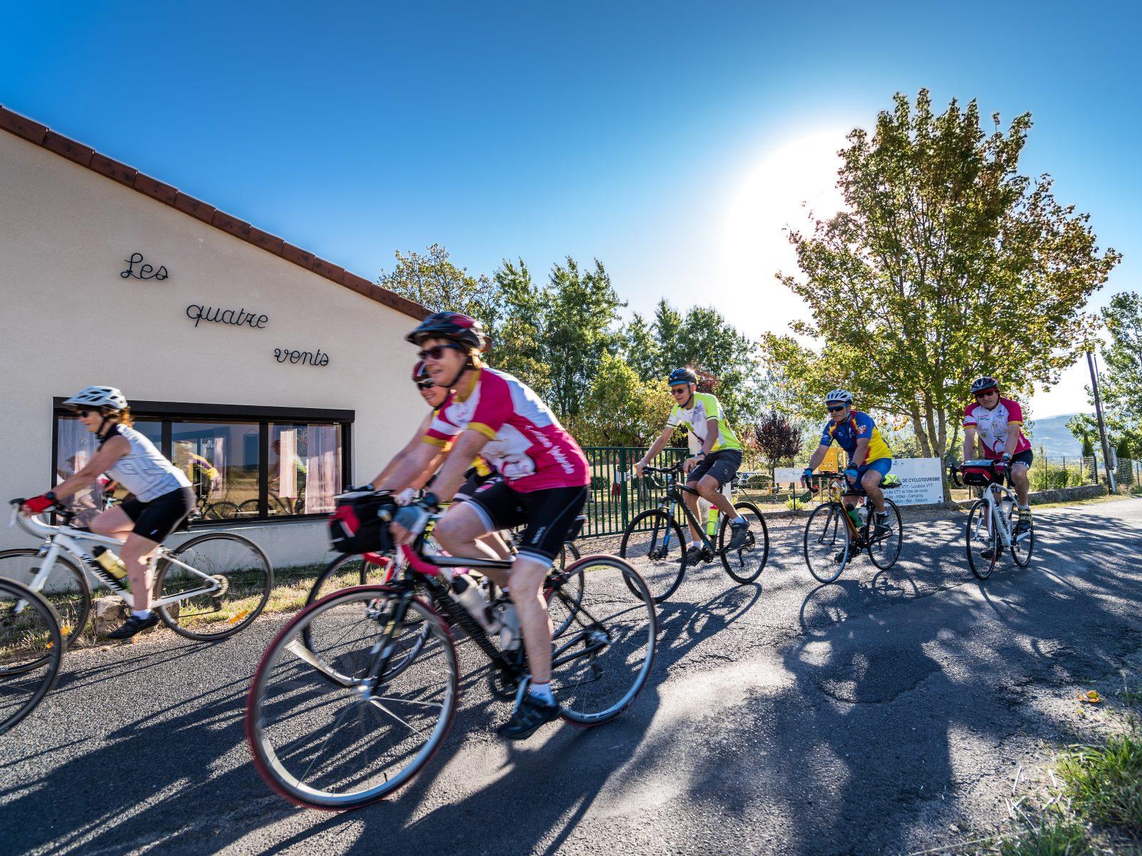
Start: Centre nature les 4 Vents
- Distance
- 64.6 km
- Elevation gain
- +1293 m
- Elevation loss
- -1292 m
- Duration
- 4 h 30 min
Route on the map
Base map © OpenTopoMap (CC-BY-SA): route licensed under ODbL via Données : Parc Naturel Régional Livradois-Forez · rando.parc-livradois-forez.org — sous licence ODbL.
The feel of the route
This is a very classic circuit for taking on the “Giant” of the Forez. Of course, it is not an Alpine pass, but conditions are often tough up on the Haut-Forez, and the Col du Béal is a real wind tunnel! So choose a fine-weather day to set off, and bring something to wrap up in for the descent. The climb starts almost directly below Lac d'Aubusson and first hauls you up onto the Augerolles plateau before heading gently up the lovely Faye valley to Les Mines, then Le Brugeron. You then reach Saint-Pierre, the last village before the summit. Up there, you will find the gîte-auberge at Col du Béal. But be aware: it is only open at weekends, on public holidays, during school holidays, and by reservation for groups. So in every case it is best to phone the day before to make sure the place is open (tel. 04 73 95 20 45). A little further on, you will cross the Pas de la Croix, little known but barely higher than the Béal, before starting the long-awaited descent. The return goes through the village of Le Trévy, then Aubusson d'Auvergne.
Other hikes in the area
 Cycling
Forez circuit - Les Hautes-Chaumes (loop no. 5)
Start: Centre nature des 4 vents (Aubusson d'Auvergne)
- 69.1 km
- +1503 m
- 4 h
 On foot
 Cycling
From the Col de la Loge to the Col du Béal (road circuit no. 6)
Start: Centre nature les 4 Vents
- 81.3 km
- +1692 m
- 5 h 30 min