
Limon and Rocher de Laqueuille
Start: Face à l’agence communale postale de Dienne
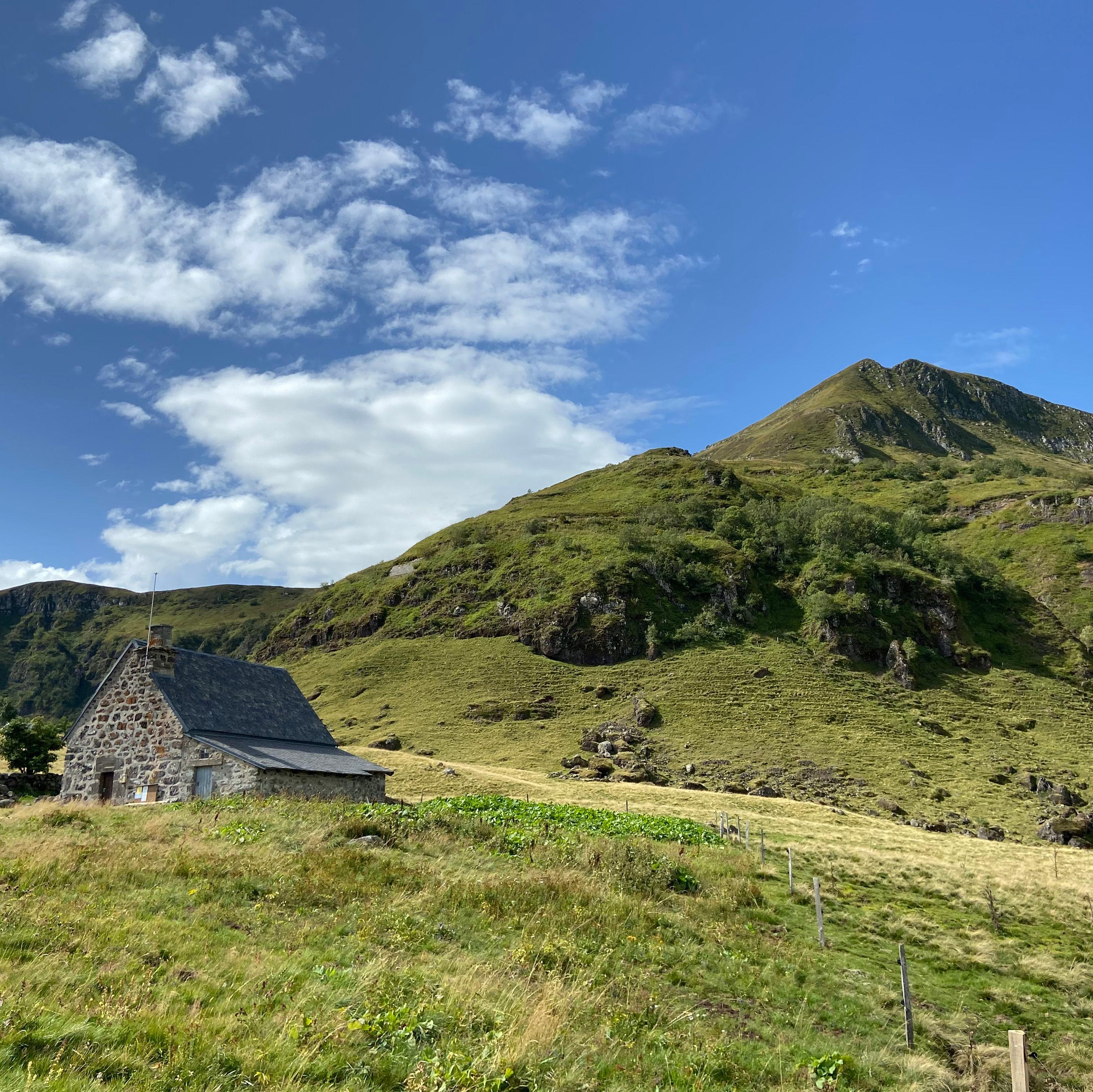
Panorama over the upper Santoire valley and the Puy Mary massif, in an extraordinary landscape of volcanic plateau dotted with wetlands.
- Distance
- 10.5 km
- Elevation gain
- +469 m
- Elevation loss
- -471 m
- Duration
- 4 h
Route on the map
Base map © OpenTopoMap (CC-BY-SA): route licensed under ETALAB-2.0 via PNR des Volcans d'Auvergne.
The feel of the route
The Rocher de Laqueuille offers a wonderful panorama over the upper Santoire valley and the Puy Mary massif. The summit of this rock has an extraordinary group of small peat bogs, easily recognised when the cotton grass bursts into flower (take care not to trample these fragile habitats). As for the origin of the name of the village of Dienne, it is said to be a corruption of Diane. There was, so they say, on the Rocher de Laqueuille a temple dedicated to the goddess, which Charlemagne had demolished. A first fortified castle was established there. The second was built at Le Marchadial, in the valley.
The route in detail
Start: opposite the post office in Dienne. Make for the church. When you are level with it, climb the tarmac track. It becomes stony, passes the cemetery and rises along the sides of the valley. Cross a fence and climb straight ahead through the pastures. Pass a buron (old stone hut), cross the Grouze stream and continue through the bends. The slope eases. Look out for the croix du gendarme (gendarme's cross).
At its foot, turn left. Follow a well-marked track, cross the fence and carry straight on along the track that goes down into the grassland. Keep the fence on your right-hand side.
Carry on down a stony descent and cross three fences in succession before reaching the village of Drils (Drils mill on the right before leaving the grassy track).
Turn left, then at the next crossroads leave the road and go straight ahead along a grassy track that reaches the D680.
Cross the road, go right and take a wide stony track. Turn right, cross the river and climb a grassy track. Pass close to a high-altitude barn and keep climbing in the meadow to a fence crossing. Carry on along a wet, stony path lined with ash trees. Return to the tarmac road and turn left towards Laqueuille Haute.
At the fork, (you can turn right to reach the Rocher de Laqueuille, adding 2 km there and back and 45 min to the original route) go down to the left towards Laqueuille Basse. Continue along the road, cross the Santoire and reach the entrance to Dienne. Turn left to return to the start.
In pictures

Other hikes in the area
 On foot
 On foot
 On foot
From Allanche to Chalinargues via the Bois de la Pinatelle (stage 1 of the Découverte intime du Cézallier multi-day route)
Start: Place du Cézallier à Allanche
- 15.1 km
- +383 m
- 4 h