
Puy de Montoncel
Start: Arrêt de bus de la Lizolle
This forest walk reaches the summit of the Puy de Montoncel, the highest point of the Bois-Noirs (1,287 m).
- Distance
- 11.8 km
- Elevation gain
- +468 m
- Elevation loss
- -462 m
- Duration
- 4 h 30 min
Route on the map
Base map © OpenTopoMap (CC-BY-SA): route licensed under ODbL via Données : Parc Naturel Régional Livradois-Forez · rando.parc-livradois-forez.org — sous licence ODbL.
The feel of the route
After crossing the wooded ravine of the Credogne, which shelters a rich birdlife, it follows the Muratte reservoir.
The route in detail
D. From the bus stop at La Lizolle, you take the D63 on the right. On leaving the hamlet, take the first track on the right. Bear left at the Y-junction and continue straight on at the next junction. In the clearing, turn right then, at the hydraulic installation, go round the reservoir lake on the right, then, at the next stream, turn left to follow the body of water.
1- At the crossing of the tracks, turn right. Go through Duzelier and continue on the right along an ascending track. (Viewpoint over the Monts du Forez and the Monts du Livradois). Take the D201E to the right. Keep to the right all the way to reach the village of Les Etivaux. Go through the village and set off towards Les Roux, on the track at the edge of the forest: it goes round a pond on the left.
2 - At the crossroads, continue on the main track and go past the very fine farm at Les Roux. Leave two tracks on the right and keep climbing on the left. At the junction of three tracks, take the middle one. 500 m higher up, you look down over the source of the Credogne. Continue straight on to the Col des Planchettes. Turn right by the Plan de la Moussière. Keep going straight on along a forest track. At the first crossing of tracks, continue straight on.
3. Leave the track at the fork and follow the path straight on. Turn onto the track on the right and continue to the next crossing. Continue on the track opposite to the next T-junction. Go down along it, always straight on, leaving several forest tracks on the right. Take a less steep track on the left, cross the stream.
4 - At the junction with a large track (tapped springs), take it to the right and keep going down as far as the Canelier farm (viewpoint over the Chaîne des Puys, the Sancy massif, Mont-Blanc, the Monts du Forez and Livradois) and rejoin the road. Take the D64 to the right to the hamlet of La Lizolle to return to the car park.
In pictures

Other hikes in the area
 Mountain biking
 Mountain biking
 Cycling
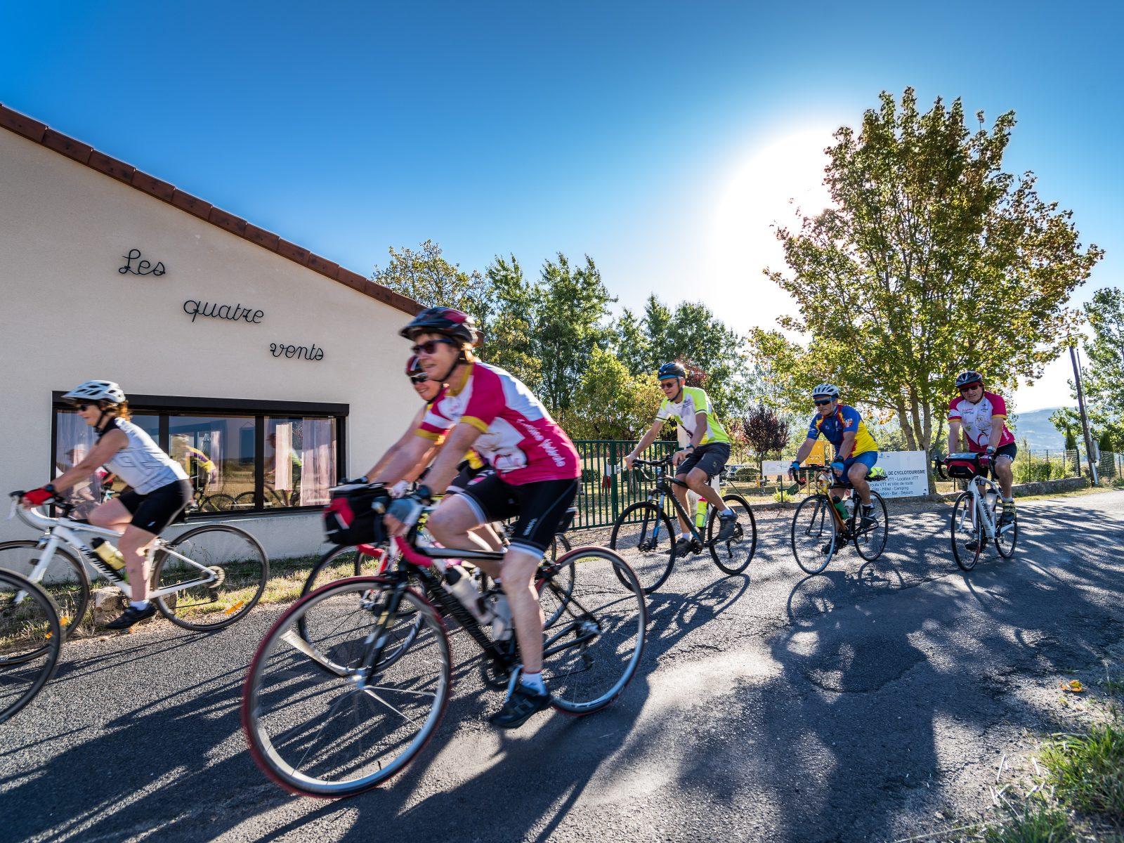
The cols of the Bois Noirs (road circuit no. 11)
Start: Centre nature les 4 Vents
- 97 km
- +1969 m
- 6 h 30 min