
Tour de Pays in Livradois-Forez
Start: Ambert
This circuit of nearly 120 km, passing through most of the towns on the Monts du Forez and the Monts du Livradois, has a bit of a reputation!
You admire in turn the Chaîne des Puys and Limagne Fault from <a href="https://www.vacances-livradois-forez.com/nature-jasseries/" rel="noopener" target="_blank">the Col des Supeyre</a>s and <a href="https://www.vacances-livradois-forez.com/patrimoine-naturel/le-col-du-beal-chalmazel-jeansagniere/" rel="noopener" target="_blank">the Col du Béal</a>, the Alps from the Monts du Forez and the Dore basin from the Monts du Livradois. You discover the natural habitats that make up all the richness of the regional natural park in Auvergne: high-altitude moorland of the Hautes-Chaumes, peat bogs, alluvial forests, beech forests, small mid-mountain rivers… But you will also spot the discreet trace of human presence in the high-altitude jasseries (mountain herders' huts), pass the round town hall of <a href="https://www.vacances-livradois-forez.com/destination/une-destination-quatre-territoires/ambert-fourme-et-forez/" rel="noopener" target="_blank">Ambert</a> and be able to taste the Fourme d'Ambert cheese and the patia.
Everything is designed to encourage you to disconnect. During the Livradois-Forez tour de pays, you truly enjoy the present moment.
- Distance
- 119 km
- Elevation gain
- +3743 m
- Elevation loss
- -3743 m
- Duration
- 168 h
Route on the map
Base map © OpenTopoMap (CC-BY-SA): route licensed under ODbL via Données : Parc Naturel Régional Livradois-Forez · rando.parc-livradois-forez.org — sous licence ODbL.
In pictures


Other hikes in the area
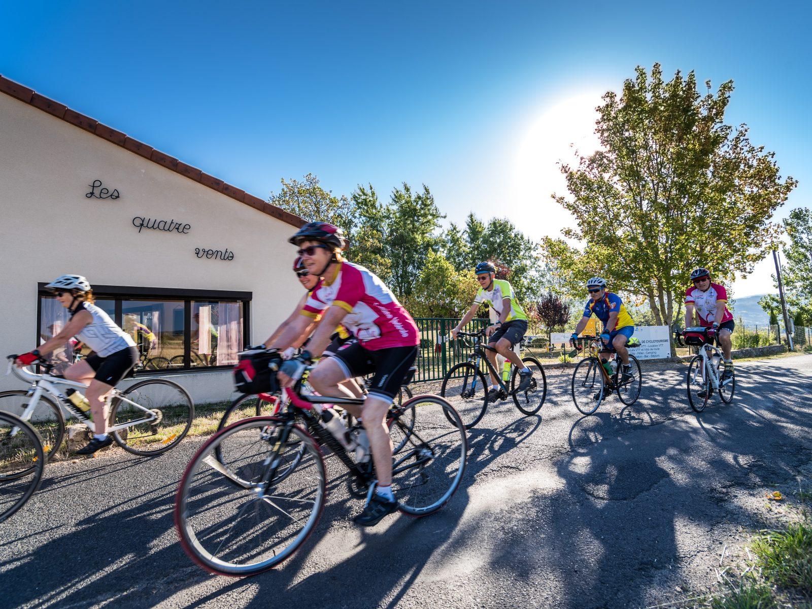 Cycling
From the Hautes-Chaumes to the Livradois (road circuit no. 8)
Start: Centre nature les 4 Vents
- 141 km
- +2810 m
- 9 h
 On foot
 On foot