
The banks of the Litroux
Start: Place de la Charme, Culhat
A short walk with plenty of viewpoints, culminating in the Lanterne des Morts (Lantern of the Dead) at Culhat, a remarkable 12th-century monument.
- Distance
- 7.4 km
- Elevation gain
- +48 m
- Elevation loss
- -47 m
- Duration
- 2 h
Route on the map
Base map © OpenTopoMap (CC-BY-SA): route licensed under ODbL via Données : Parc Naturel Régional Livradois-Forez · rando.parc-livradois-forez.org — sous licence ODbL.
The feel of the route
The Lanterne des Morts (Lantern of the Dead)
The Lanterne des Morts at Culhat dates from the 12th century. It is a Romanesque-style turret four metres high, built of dressed arkose stone, with a window through which a lit lantern could be hoisted. It is said to have its roots in ancient practices meant to drive away evil spirits. Christianity took up the theme of light to symbolise devotion to the dead. Symbol of eternal light, shield against evil spirits, or simple landmark for travellers, the Lanterne des Morts is still a mystery.
The route in detail
Start: From place de la Charme on the outskirts of Culhat (D4, towards Crevant-Laveine). With your back to the Lanterne des Morts, go down the tarmac track on the right, running alongside the water tank. Just after crossing the Litroux stream (viewpoint over the Chaîne des Puys and the Sancy massif), turn right and follow it.
1. At the end of the track, turn right and cross the stream again. Pass two tracks on the right in turn and, at the fork, carry straight on to reach the banks of the Allier. Follow them for a while, then move away from them, always keeping to the same track.
2. At the crossroads, turn off to the right and follow the grassy track (view of the Culhat bell tower, straight ahead, and the Sancy massif, slightly to the right).
3. At the crossroads, carry straight on towards Culhat.
4. At the pond (view of the Sancy massif and the Chaîne des Puys), go up to the left. Cross the D4 and follow the track opposite. At the crossroads, climb straight ahead.
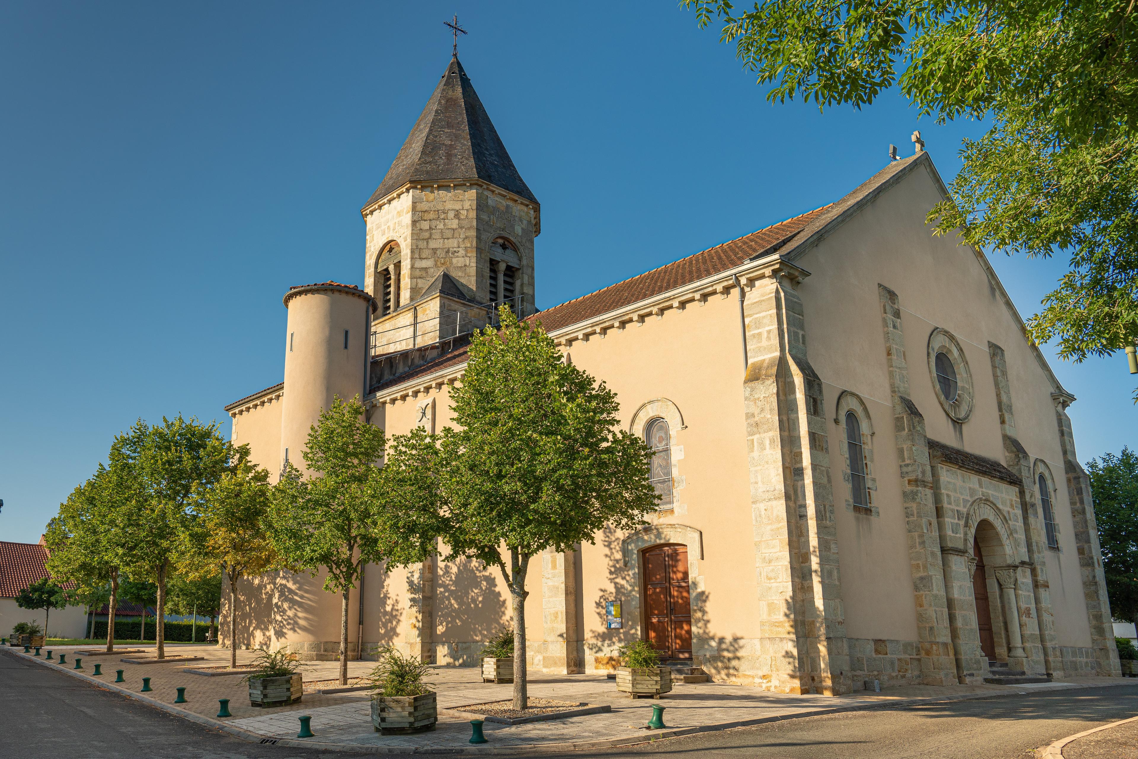
5. Higher up, on the plateau, turn right. After a strip of vines, at the T-junction, turn left. Keep to this track (view of the village of Culhat in the foreground, the Sancy massif and the Chaîne des Puys, the Comté and the Puy de Mur).
6. At a small hut, go down the track on the right. At the D332, turn right and, 50 m further on, right again. At the end of the track, follow rue des Fangiroux to place de la Charme.
In pictures


Other hikes in the area
 On foot
 On foot
 Cycling
Discovering Randan and Maringues (road circuit no. 28)
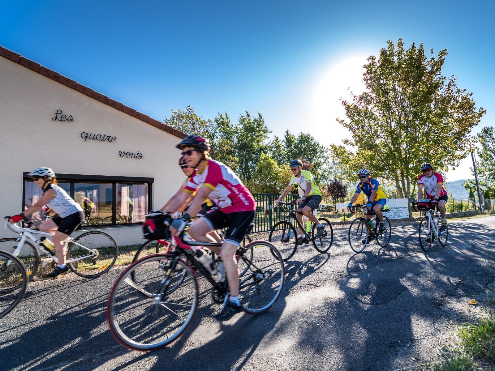
Start: Centre nature les 4 Vents
- 117 km
- +1022 m
- 7 h