
Bridges circuit
Start: La Renaudie
- Distance
- 25.2 km
- Elevation gain
- +810 m
- Elevation loss
- -810 m
- Duration
- 7 h
Route on the map
Base map © OpenTopoMap (CC-BY-SA): route licensed under ODbL via Données : Parc Naturel Régional Livradois-Forez · rando.parc-livradois-forez.org — sous licence ODbL.
The route in detail
Start: from the church at La Renaudie. Go down the main road (D102), then at the junction take the D41 straight ahead (towards Le Brugeron). Continue on the D41 as far as the Sainte-Agathe cross. Take the road on the right towards Le Clef (viewpoint over the village of La Renaudie). At the entrance to the hamlet, just after a barn, take the stony path on the right; go past the renovated house and continue on the grassy path. Go about 800 m from Le Clef, then turn sharp right to cross the Rioubet stream. Climb back up by the same path as far as La Chossonie.
1. Just after the first house, leave the road and take the path that slopes slightly down to the left. At the fork, continue to the right (viewpoint over the Chaîne des Puys). At the entrance to La Vialle, climb straight away to the right. At the top of the village, cross the D41 to take the path opposite between 2 low walls. On the climb, leave the path and turn left (viewpoint over the Sancy massif and the Chaîne des Puys). Head straight on then, near the cross, turn left.
2. On arriving at the hamlet of Thérias (in a bend), follow the road to the left for 50 m then, at the junction, turn right towards Les Gouttes. 20 m further on, at the cross, leave the road and take the path on the left. At the crossroads, take the small road opposite (towards La Chaugne). 15 m further on, leave this road and take the path on the right. Cross the stream and continue straight on. Go along the edge of a hamlet (Les Champs-Elysées) and, at the crossing, continue on the same path opposite as far as Le Garret.
3. In the village, climb the small road opposite and join the D41. Cross it and take the path opposite. At the fork, carry straight on. At the hamlet of Le Cheix, go round the house and continue through the forest as far as the ruins of the village of Vironesse.
4. At the ruins, continue on the main path for about 250 m then take the first path on the right. Keep to the same path as far as the Pale stream. Follow the stream on its left-hand side (very wet path in places) and join the D 317.
5. Follow it to the right for 500 m. On arriving at the hamlet of La Goutte, take the D 102 to the right (towards La Renaudie). 150 m further on, in the bend, turn left and go along the field on its right-hand side. At the crossing, take the path on the right. Follow this rising path for 1.5 km then, at a crossroads of 4 paths, turn left. Always keep to the main path to reach a road.
6. Follow it to the right for 200 m then turn right. Level with a ruin, carry straight on; go along the Couzon stream. Ignore the forest track that goes off to the right and follow the same path as far as a ford.
7. Just before the ford, take the path that bears right. Follow the road to the left then take the first path on the left. At the fork, carry straight on. At the intersection of several paths, turn left then immediately right. Follow the same path as far as a road.
8. Take it to the left then, at the next intersection, turn left. 150 m further on, turn left again and go across fields. On reaching the D 101 (entrance to the village of La Chambonie), level with the cemetery, turn right for 5 m then take the road immediately on the right. Follow it for 500 m.
9. At a small wrought-iron cross, just before an isolated house, turn right and climb through the woods. At the top of the slope, take the most clearly defined path on the right. On leaving the wood, turn sharp left.
10. Follow the road to the right. Go through the hamlet of Le Verdier and carry on along the same road. Follow the D 41 to the right. At the big junction, leave the D 41 and take the D102 to the right (towards La Renaudie). Enter the village and reach the church.
Other hikes in the area
 On foot
 On foot
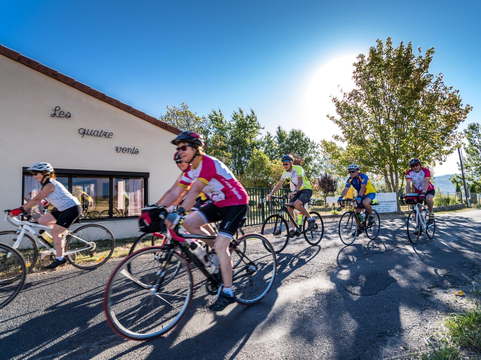 Cycling
From the Col de la Loge to the Col du Béal (road circuit no. 6)
Start: Centre nature les 4 Vents
- 81.3 km
- +1692 m
- 5 h 30 min