
Lake and woodland
Start: Lac d'Aubusson
- Distance
- 5.4 km
- Elevation gain
- +141 m
- Elevation loss
- -141 m
- Duration
- 1 h 30 min
Route on the map
Base map © OpenTopoMap (CC-BY-SA): route licensed under ODbL via Données : Parc Naturel Régional Livradois-Forez · rando.parc-livradois-forez.org — sous licence ODbL.
The route in detail
The starting point is next to the Conseil Général (département council) sign "Randonnées et activités de nature" (hiking and nature activities), opposite the Maison du Lac. Head for the play area and cross it to reach the lectern (enamelled lava) of the Saute-Ruisseau path. Take the path on the left and continue to the bridge. 30 m after the third bridge, turn left.
(1) At the pond, turn right. At the iron cross, carry straight on along the stony track. In the woods, follow the same track for about 500 metres.
(2) Just after the first meadow, bear right onto a grassy track. Go about 100 m to the tarmac road and turn right (viewpoint over the Chaîne des Puys). After 250 m, in the bend, carry straight on along the dirt track. Keep going down the same track and then, when the lake comes into view, continue on the stony track that goes down. At the crossing, at the edge of the lake, take the path on the left.
(3) At the low concrete wall that borders the lake, turn right. Go along the lake, crossing the dyke, then turn right. At the next intersection, by a wooden bench, turn right again. Keep following the same path, then, when it disappears, go down onto the beach to reach the lake car park.
In pictures

Other hikes in the area
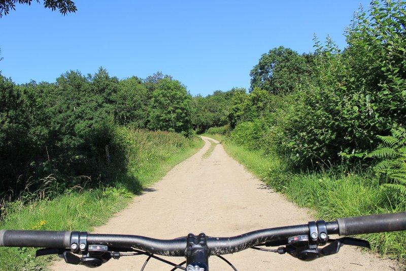 Mountain biking
On the heights of Aubusson (circuit no. 7)
Start: Centre nature des 4 vents (Aubusson d'Auvergne)
- 14.4 km
- +324 m
- 1 h 30 min
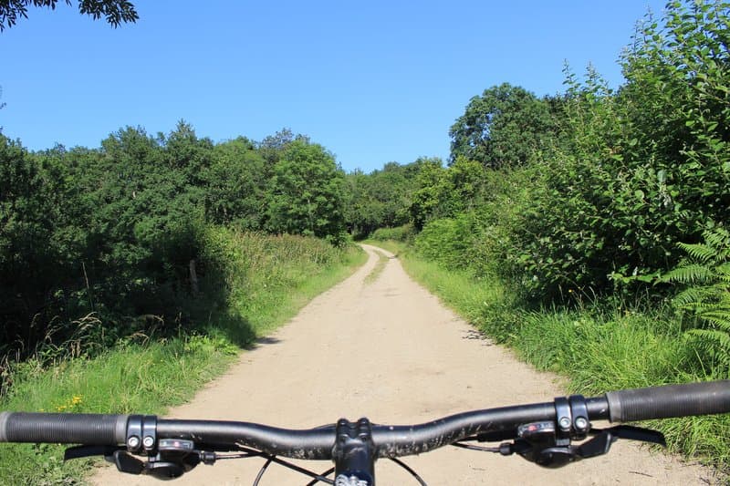 Mountain biking
Lac d'Aubusson (loop no. 5)
Start: Centre nature des 4 vents (Aubusson d'Auvergne)
- 12.3 km
- +237 m
- 1 h 30 min
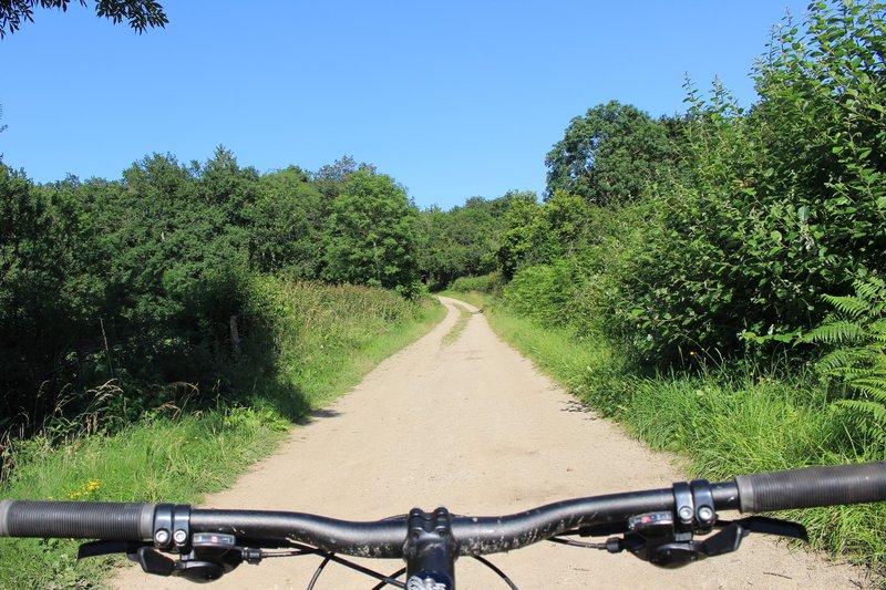 Mountain biking
The grand tour of Lac d'Aubusson (circuit no. 18)
Start: Centre nature des 4 vents (Aubusson d'Auvergne)
- 28 km
- +669 m
- 3 h