
Bertinet
Start: Parking devant l’église de Saint-Donat, au centre du bourg
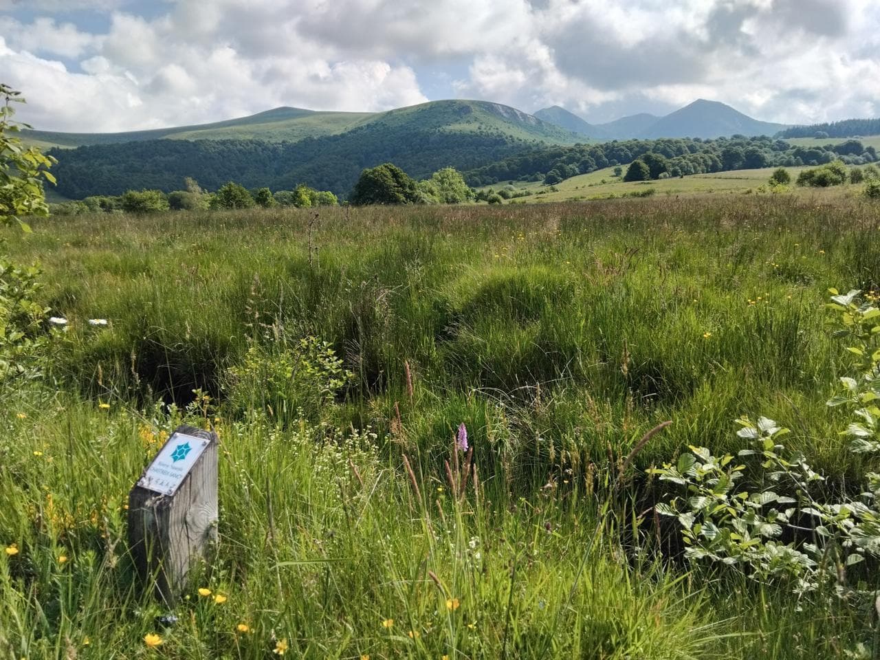
In the heart of the Artense, this walk takes you to discover the Jouvion peat bog, set in the characteristic landscape of the granite plateau, with a view of the southern part of the Monts Dore.
- Distance
- 9.7 km
- Elevation gain
- +212 m
- Elevation loss
- -212 m
- Duration
- 3 h
Route on the map
Base map © OpenTopoMap (CC-BY-SA): route licensed under ETALAB-2.0 via PNR des Volcans d'Auvergne.
The feel of the route
The Artense plateau is a former glacial area that offers unusual panoramas over the Sancy and the Cantal. On this walk you will see moorland, peat bogs and dry-stone walls. Along the way you will also discover the Jouvion peat bog, set at an altitude of 1,020 metres in the heart of a glacial depression on the edge of a lava flow from the Massif du Sancy, and protected as an Espace Naturel Sensible (sensitive natural area). There you can admire a butterfly called the Azuré (a type of blue butterfly). Also to see: the balancing rock of "La Roche Juchée".
The route in detail
From the start sign, next to the church, follow the D88 for 200 m.
Take the path on the left between the houses and follow a path lined with low stone walls, at the information board. Cross a stream and a fence, then climb opposite to cross a pasture. Please note: for the sake of the herd and your own safety, keep your dog on a lead.
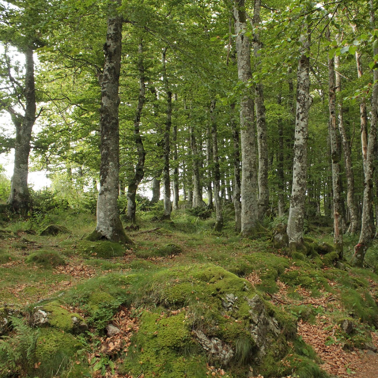
At the edge of the wood, bear right and go down to the small gate. Follow the path, then take a wide track on the right. At the edge, walk alongside the barbed-wire fence, go through a small gate, cross the stream and climb opposite to go over a stile. Continue along the fence, then alongside the wetland towards the fir wood. Take the first path on the left, which leads to the stile at the entrance to the wood. Take the small footbridge and follow the forest track, then continue along the stream to another footbridge. Cross and follow the path on the left, along a stone wall in the beech wood. Climb to the right, still alongside the wall, go over a stile, then a stream, and bear left. Walk alongside a wall to reach the stile that leads onto a road.
Turn left for 30 m and bear right, towards the Jouvion peat bog. Cross the large footbridge over the bog. Continue to the right as far as the next wetland, a sensitive natural area (ENS).
The waymarked trail "l'Azuré des mouillères" on the ENS will guide you to the educational ponds. Turn back to return to the original path. Cross the stream, climb to the right and continue along the path between the walls as far as the two stiles.
Take a small road on the right for 300 m.
Go right. Continue for 100 m on this departmental road.
Take the tarmac lane on the left for a few tens of metres. Continue straight on to a road, from where you will see the Bertinet farm below.
Turn left and enjoy the panorama over the Sancy massif and the Monts du Cantal. Keep walking for 1.5 km.
When you reach the D88 road, turn right: you are at Le Sac.
At the second junction, turn left, climb for 20 m and go over the stile on your right. Go straight ahead, then follow the fence on your left-hand side. Go through the chicane gate and climb to another stile. Turn left straight away along the fence, cross it by a new stile and climb straight up. Cross a rocky area, enjoy the view over the Sancy, and go down. Take the stile, climb opposite and go back down.
After a last stile, continue to the right on the tarmac road, then follow the D88 to the left to reach St-Donat.
In pictures


Other hikes in the area
 On foot
 On foot
From Chastreix village to the glacial valley
Start: Parking à côté de l'église, au centre du bourg
- 18.3 km
- +535 m
- 5 h 30 min
 On foot