
Lac de Bourdouze
Start: Cimetière de Saint-Anastaise
This walk offers varied landscapes. It is a good compromise for the undecided who can't choose between the Sancy massif and the Cézallier. With this walk it's simple: you get both!
- Distance
- 17.1 km
- Elevation gain
- +456 m
- Elevation loss
- -451 m
- Duration
- 5 h 30 min
Route on the map
Base map © OpenTopoMap (CC-BY-SA): route licensed under ETALAB-2.0 via PNR des Volcans d'Auvergne.
The feel of the route
This splendid walk takes you on a route that is eclectic, to say the least. Between bucolic landscapes, the plains of the Cézallier, streams, lakes, peat bogs and viewpoints over the Sancy massif, you won't have time to get bored. This walk has the particular feature of taking you from one scene to another in no time. Although long on paper, it doesn't feel that long in the legs. After a slightly tough start, the rest of the walk is fairly easy going. Remember to bring your picnic, but above all your time: you'll need plenty of it to immerse yourself in all the landscapes you are going to discover.
The route in detail
Start: at the cemetery, go down the road for 50 m, at the intersection go right then take the path on the left (Chapelle St-Anastaise). Cross the D127, enter Larzallier, and head off to the left before the fountain to reach Lignerolles.
When you reach Lignerolles, cross the D127 again, and take the path opposite as far as a crossing of four paths. Stay alert to the waymarking, which is hard to see at this point.
Continue straight on for 100 m, and branch off to the left. After the small gate, follow the barbed wire that leads to the ridge line overlooking the valley and to the jumble of rocks. Follow the fence that leads to the road, which you take to the left, as far as the edge of the wood. Take the first path on the right. On leaving the wood, follow the track parallel to the forest towards a buron (old stone hut) to reach a fine panorama of the Massif du Sancy, on the right.
At the buron, carry straight on towards the forest, leaving the drinking trough on the left, below. Cross it to reach the road and follow it to the right for 300 m.( /!\ at this point, possible shortcut, not waymarked, by following the D 26 leading directly to the village of Les Chirouzes)
Branch off onto the path on the right, to reach Champs. After the farm, branch off to the right along the path to the left of the shed, and follow it along the hillside as far as the beech wood. Watch out: in there the waymarking is very discreet. Remember to go down to the left in the wood to cross the stream. Then reach the D 127 and take the path opposite as far as Anglard.
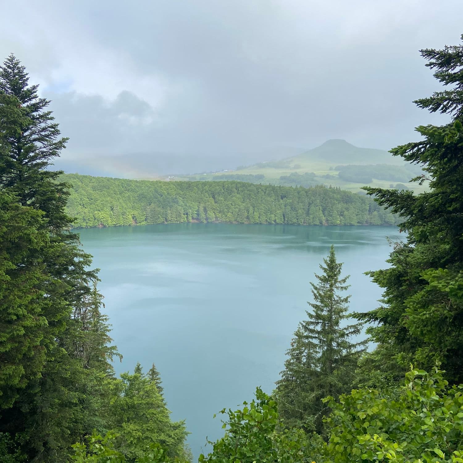
Cross the village and head off to the right as far as the D 36. Carry straight on to cross it again and reach the lake. Go along it on the left as far as a marshy area.
At this point, head off to the left into the wood, go along it, then climb to the left up to a ruin. Continue to the right, and reach the road.
At the stele, take the D 26 to the right, then the first path on the left, reaching the hamlet of Les Chirouzes. Take the first road on the left (C.G. signage). At the fork, go down to the left, to reach the starting point.
In pictures


Other hikes in the area
 On foot
 On foot
Jassy
Start: Panneau de départ et petit parking, sur la D32, en bas du village, face à la mairie
- 14.3 km
- +321 m
- 4 h
 On foot
From Egliseneuve to Brion (stage 1 of the Tour des Vaches Rouges)
Start: Parking de la maison des fromages AOP
- 15.8 km
- +608 m
- 5 h 15 min