
GR3 Sources and Gorges of the Loire
Start: Aurec-Sur-Loire
Every schoolchild knows the source of the Loire: Mont Gerbier-de-Jonc, in the Ardèche mountains. This famous volcano is the starting point of the longest river in France, and also of the GR 3, the Loire path. Here is the first section of this GR, where the path follows a Loire that is still young and wild through gorges it has carved on the eastern flank of the Massif Central, from the edge of the Ardèche to the gates of Saint-Étienne.
- Distance
- 169 km
- Elevation gain
- +5812 m
- Elevation loss
- -5202 m
- Duration
- 240 h
Route on the map
Base map © OpenTopoMap (CC-BY-SA): route licensed under ETALAB-2.0 via Données : Comité Départemental Randonnée Pédestre Haute-Loire · FFRandonnée · sportsnature.hauteloire.fr — sous licence ETALAB 2.0.
The feel of the route
From Saint-Étienne, you reach the Loire at Saint-Victor-sur-Loire. This route, from Saint-Étienne to Mont Gerbier-de-Jonc, starts by following the GR de Pays des Gorges de la Loire du Velay au Forez (a regional long-distance path), around the Lac de Grangent. After crossing the bridge at Saint-Just-Saint-Rambert, the route begins its climb back up the Loire along the GR de Pays des Gorges de la Loire du Velay au Forez, then the GR 3.
The route in detail
The stages below are only suggestions.
Other hikes in the area
 Other activity
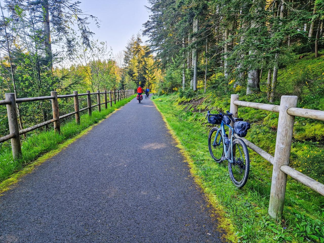 Mountain biking
 Cycling