
Cézerat
Start: Place d’Allanche
A perfect hike to discover this part of the Cézallier, its wide open spaces and its livestock-farming traditions, and also to walk past the Pinatelle forest, a vast reservoir of biodiversity.
- Distance
- 15.2 km
- Elevation gain
- +439 m
- Elevation loss
- -439 m
- Duration
- 4 h 30 min
Route on the map
Base map © OpenTopoMap (CC-BY-SA): route licensed under ETALAB-2.0 via PNR des Volcans d'Auvergne.
The feel of the route
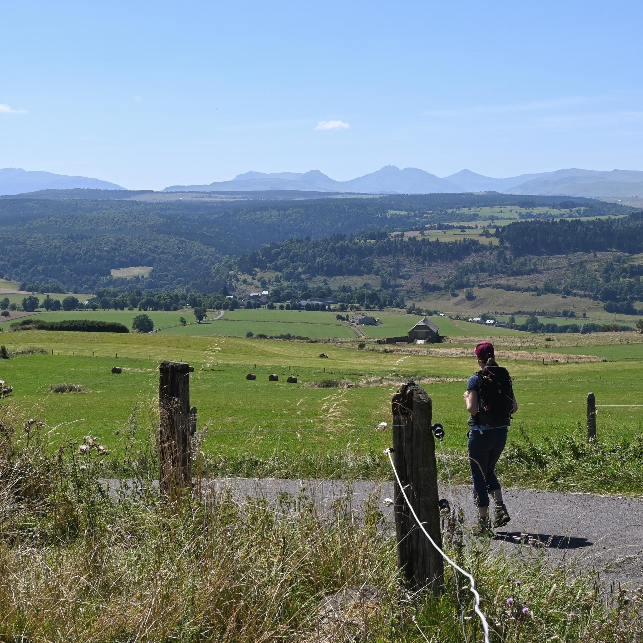
With its small deep valleys, big panoramas, traditional bread ovens and summer pastures, you will appreciate this hike for its richness and diversity. So don't delay in coming to discover the Cézallier with this hike!
The route in detail
Start: at the car park on the main square of Allanche, go into the lane at right angles to the bus stop on Rue de la Place du Cézallier and cross the bridge over the Allanche, go round the white house on the left and climb up to the rail bike.
At the junction near the Roche Grande wood, take the path on the left that climbs towards the wood. Then, in the bend, leave the gravel path and head into the heart of the forest by turning left, leave the main path once again to take the walkers' path that goes a little further into the woods.
On reaching the "summit" of Roche Grande, do not hesitate to make a detour to the viewpoint over the Monts du Cantal.
Take the path back down and come out on a forest track, turn right as far as the road and then turn left.
Leave the road and fork right towards the valley floor.
When you reach the main road, be careful when you cross it. At the next Y-junction take the path that veers to the right, then once again, so as to stay at the edge of the wood until you cross the road.
At Cézerat, go through the village leaving the bridge and the bread oven on your right and further on fork right over the watercourse, carry on to the left to take a forest track, at the next Y take the path that climbs to the right.
On leaving the forest, take the forest path on the left.
On reaching a road turn left and follow it for 700 m, cross the bridge and enter the village of Maillargue.
Be careful when crossing the road; opposite, at the first Y go left and at the second go right, towards a road that climbs quite steeply. At the top of the village pass the bread oven and leave the village.
On the path, once well out of the village, turn left at the next crossing and follow the path to Allanche.
In pictures


Other hikes in the area
 On foot
 On foot
From Allanche to Chalinargues via the Bois de la Pinatelle (stage 1 of the Découverte intime du Cézallier multi-day route)
Start: Place du Cézallier à Allanche
- 15.1 km
- +383 m
- 4 h
 On foot
From Peyrusse to Allanche (stage 5 of the Tour des Vaches Rouges)
Start: Parking à l’entrée du village sous la mairie de Peyrusse.
- 12.5 km
- +377 m
- 3 h 30 min