
1 - Lamothe bridge
Start: Parking du Centre Historique
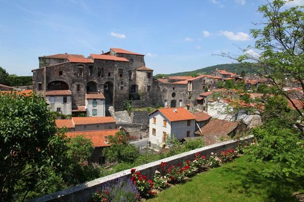
A family loop on which you will discover the Allier river, the Précaillé natural site, the medieval village of Lamothe and the village of Fontannes. Families with children can start from the Lamothe car park to avoid the out-and-back over the Lamothe bridge.
- Distance
- 13.3 km
- Elevation gain
- +98 m
- Elevation loss
- -98 m
- Duration
- 45 min
Route on the map
Base map © OpenTopoMap (CC-BY-SA): route licensed under ETALAB-2.0 via Données : Comité Départemental Randonnée Pédestre Haute-Loire · FFRandonnée · sportsnature.hauteloire.fr — sous licence ETALAB 2.0.
The route in detail
Start from the Remparts car park, at the foot of the town hall. After skirting the business park, turn left after the water treatment plant to avoid crossing the main road. Cross the bridge, then take the first right and the first left. Be careful, you cross the very busy RD19. Km 3: at the roundabout, take the last exit on the left to follow the Allier. Km 5: after the stadium, follow the departmental road for about 200 m, then turn left to reach the village of Lamothe. Km 6: be careful, you cross a departmental road to go straight on, towards the Bonnefond agricultural school. Km 8: another crossing of a departmental road. Stay alert. Go straight on to reach the village of Fontannes. Km 10: follow the RD19 to the Lamothe bridge, then return to the start the same way you came (if you started from the Lamothe car park, do not go back to Brioude, but follow the signposting for circuit 1 to return to the start)
In pictures
Other hikes in the area
 Cycling
 Cycling
 Cycling
4 - From the Allier to the Alagnon
Start: Parking du Centre Historique de Brioude
- 74.4 km
- +1306 m
- 3 h 30 min