
Around Mérigot
Start: Hameau de Pérol
Come and discover the many facets of the Artense landscapes and their environmental riches, on this splendid walk around the Mérigot pond.
- Distance
- 13.7 km
- Elevation gain
- +354 m
- Elevation loss
- -354 m
- Duration
- 4 h 30 min
Route on the map
Base map © OpenTopoMap (CC-BY-SA): route licensed under ETALAB-2.0 via PNR des Volcans d'Auvergne.
The feel of the route
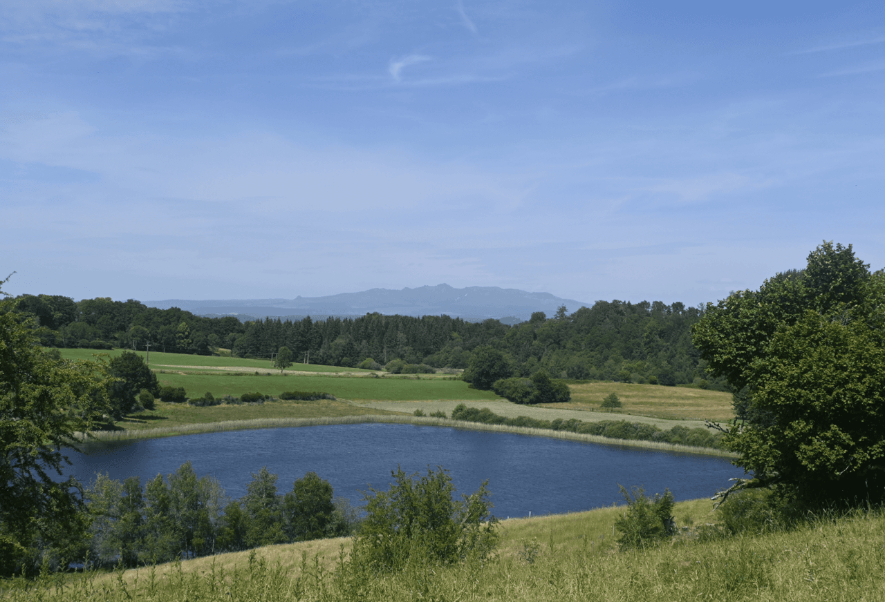
Between forests and meadows, you will discover a fairly complete range of the landscapes of the Artense. The wild, mystical character of this region, and particularly of this walk, will charm you. So let yourself be carried along and come and discover this little-known part of the Parc Naturel Régional des Volcans d'Auvergne. You have the option of making a short detour to the Mérigot pond.
The route in detail
Start in the centre of the hamlet of Pérol. Take the wide track that goes down.
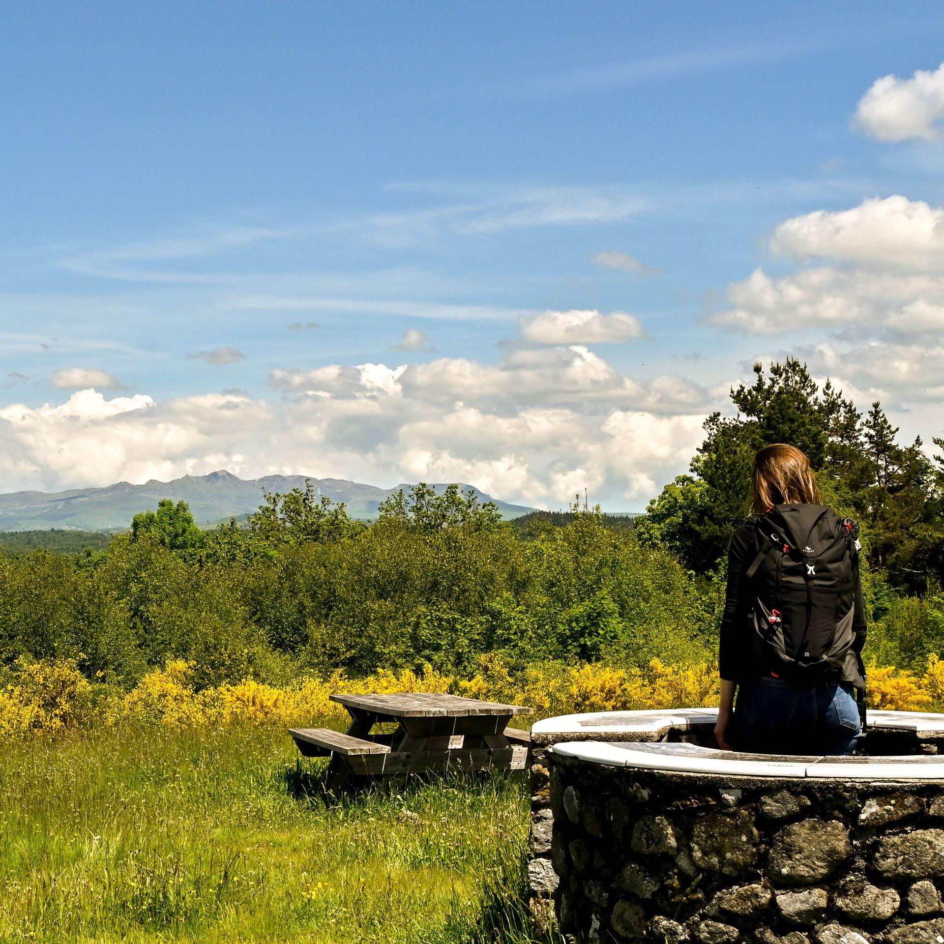
At the fork, take the track on the right, and 700 m further on, by a barn, there is a viewpoint over the Sancy massif.
Cross the stream and join a small forest path on the right. Careful, this stretch is sometimes poorly marked: follow the waymarking closely.
Pass the power line and turn right, then left twice to reach a wide grassy track that leads to the hamlet of Pré Neuf.
At the entrance to the hamlet of Géline, bear right onto the track that goes down to the Tact stream.
At the entrance to Lasfayres, take the path on the left that starts between two small buildings and joins the D22.
Go past the bread oven, climb left on the track to reach a crossing of paths. Enter the meadow and follow along it for 50 m before reaching a small path bordered by low walls. At the next junction, where it meets the PR4, turn right to reach the D522.
At the first left bend of the D522, continue along the road until you reach the access road to Lac de Laroche (private property). At this point, take the path on the right that starts between meadow and forest. Continue for 500 m until you reach a wide track that comes out at La Bonnetie. Unmarked variant, access to Mérigot (★).
Cross the road to take the chemin des écoliers (schoolchildren's path) to Pérol.
In pictures


Other hikes in the area
 On foot
 On foot
 On foot