
152 - On the banks of the Allier (waymark no. 1)
Start: Le Pont d'Alleyras
A short route with interesting climbs and descents to discover the landscapes of the Allier gorges.
- Distance
- 5.4 km
- Elevation gain
- +223 m
- Elevation loss
- -223 m
- Duration
- 30 min
Route on the map
Base map © OpenTopoMap (CC-BY-SA): route licensed under ETALAB-2.0 via Données : Comité Départemental Randonnée Pédestre Haute-Loire · FFRandonnée · sportsnature.hauteloire.fr — sous licence ETALAB 2.0.
The feel of the route
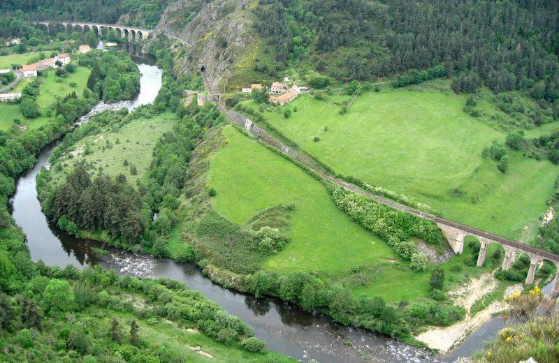
Whitewater heaven: Counted among the last rivers in Europe, the Allier attracts lovers of wide open spaces and outdoor activities, in particular whitewater sports enthusiasts. Between Langogne and the Nouveau Monde, the Allier offers its finest rapids to thrill seekers. There is no road; only the Cévenol railway line disturbs the canoeists who discover sumptuous landscapes worthy of a postcard from Norway or North America.
Other hikes in the area
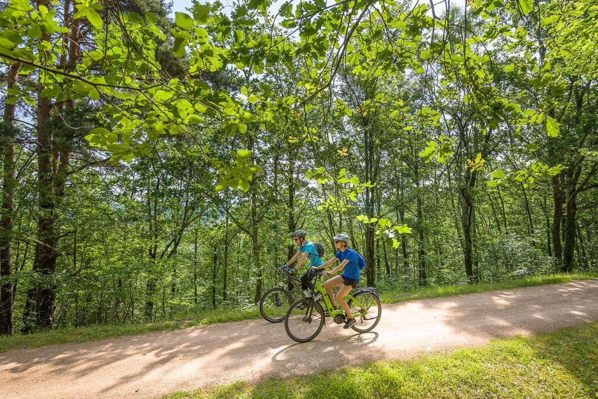 Mountain biking
 Cycling
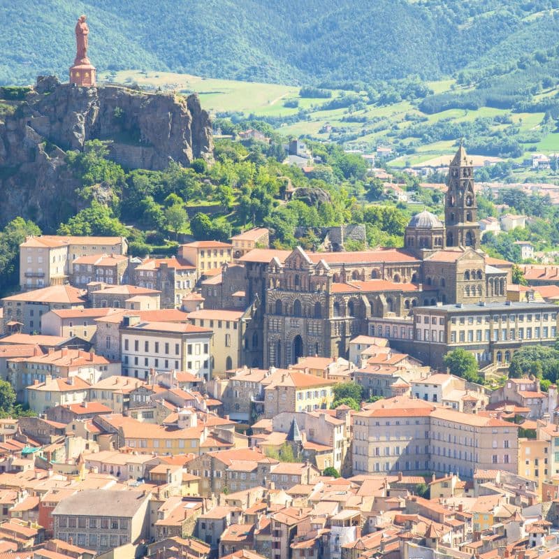 Other activity