
Banne d'Ordanche
Start: Au panneau de randonnée, au bout du parking le long de la route
In the north-west of the Monts Dore, the Banne d'Ordanche looks out over the Dordogne valley and the Massif du Sancy. Climb this "horn", an old volcanic vent.
- Distance
- 8.5 km
- Elevation gain
- +488 m
- Elevation loss
- -487 m
- Duration
- 3 h
Route on the map
Base map © OpenTopoMap (CC-BY-SA): route licensed under ETALAB-2.0 via PNR des Volcans d'Auvergne.
The feel of the route
The Banne d'Ordanche is a volcanic summit rising to 1,515 metres above sea level, which solidified some 2 million years ago before being planed down by glaciers. The slender outline of the summit explains the origin of the name "banne", which means "horn" in the local dialect. Once at the top, the viewpoint indicator will guide your eye towards the Puy de Sancy, the Puy Ferrand, the Puy Gros and the Charlannes plateau. You will cross summer pastures on the high grazing land of the old volcano, where you will probably meet sheep of the Rava breed, who also enjoy the scenery, the rich grass and colourful flowers such as yellow gentians.
The route in detail
From the sign, go down towards the holiday village, cross a road, go down opposite and carry on along a path on the left. At the road, turn left as far as the "no entry" sign.
Take the path on the left towards "lac du Guéry". Keep right and climb along the edge of the wood. Ignore a path on the right and carry straight on following the "lac du Guéry" signs as far as the footbridge over a first stream. Continue along the path and cross two more streams.
Turn left and follow the GR30 towards "lac du Guéry". Cross a stile and continue along the path to the left of the stream as far as the signposts. Leave the GR30 and take a path on the left towards "Banne d'Ordanche". Climb the "Tenon" hillock and carry on to the "Saint-Laurent" pass.
At the pass turn left and enjoy the view over the Sancy and the Plomb du Cantal. Continue towards the Banne as far as a flight of steps. Reach the viewpoint indicator (off the PR route, the climb to the Banne) for a view over La Bourboule, the Artense and the Combrailles. Continue along the grassy path that leads to the car park for model aircraft flying. Turn left to rejoin the main road.
Take the road to the right for less than 100 metres.
Take a path on the left that goes down towards Murat-le-Quaire. Keep going, ignoring the paths to the right and left, as far as the road, which you take to the left to get back to the start.
In pictures

Other hikes in the area
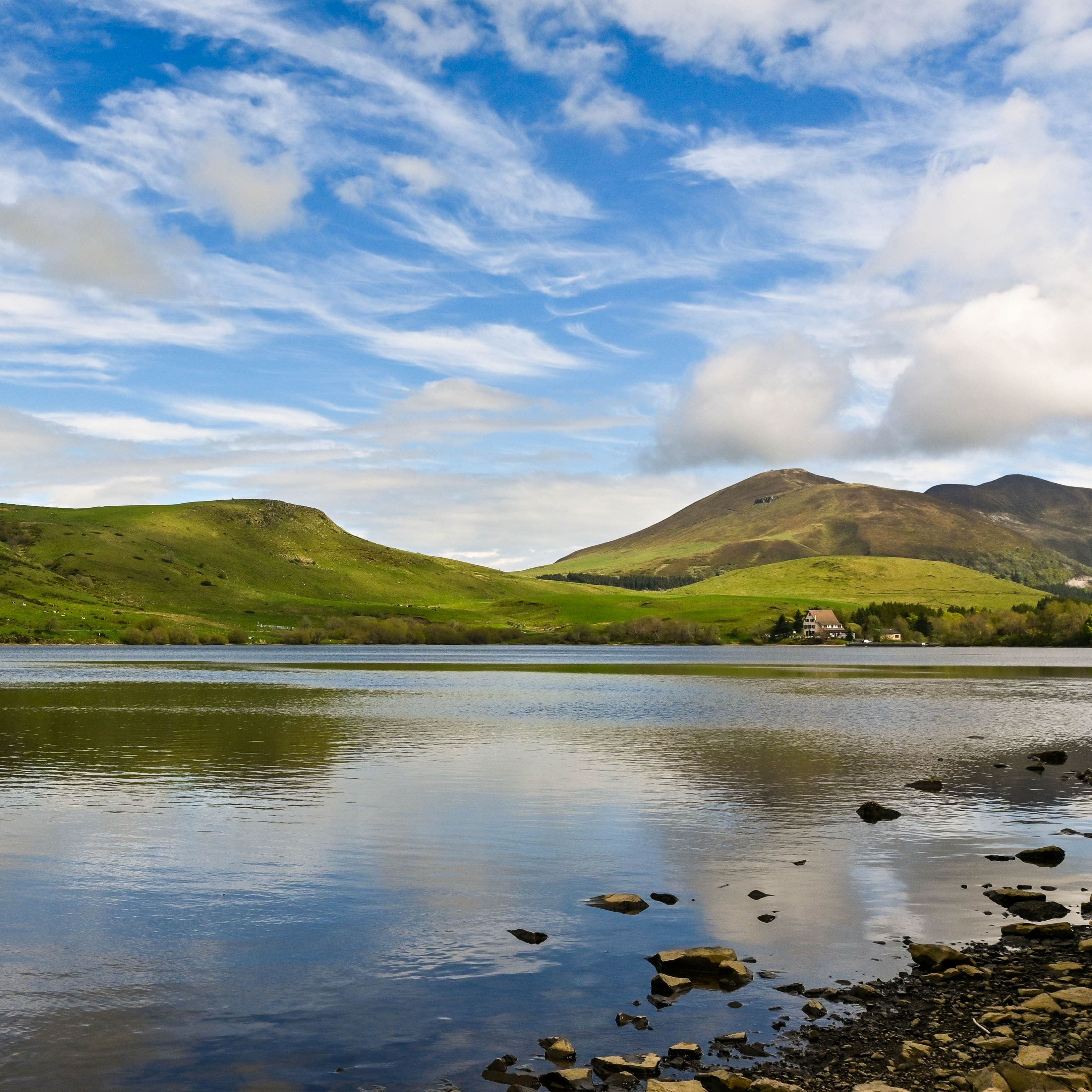 On foot
Plateau du Guéry via the Puy Loup
Start: Centre Montagnard Cap Guéry, Col de Guéry, 63210 Orcival
- 13.2 km
- +530 m
- 4 h 30 min
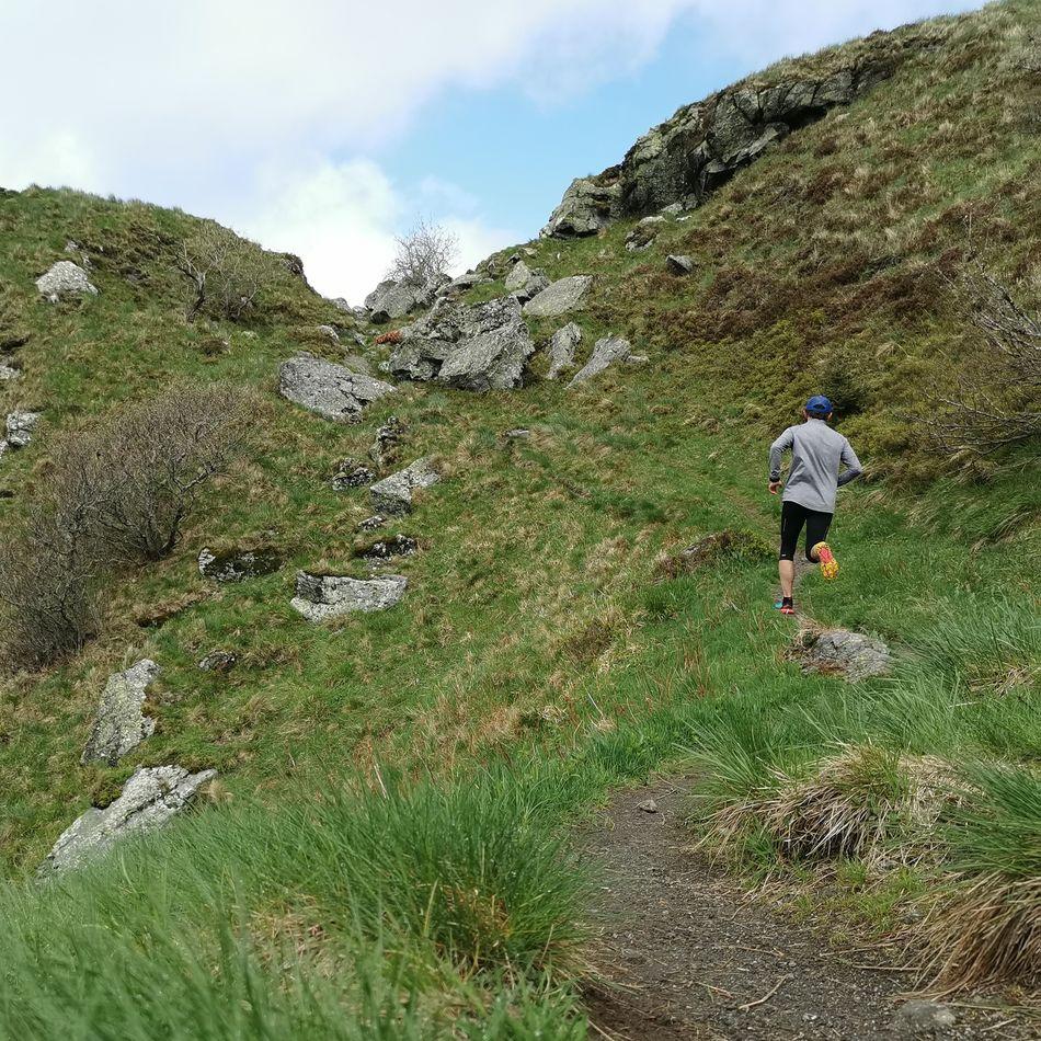 Trail running
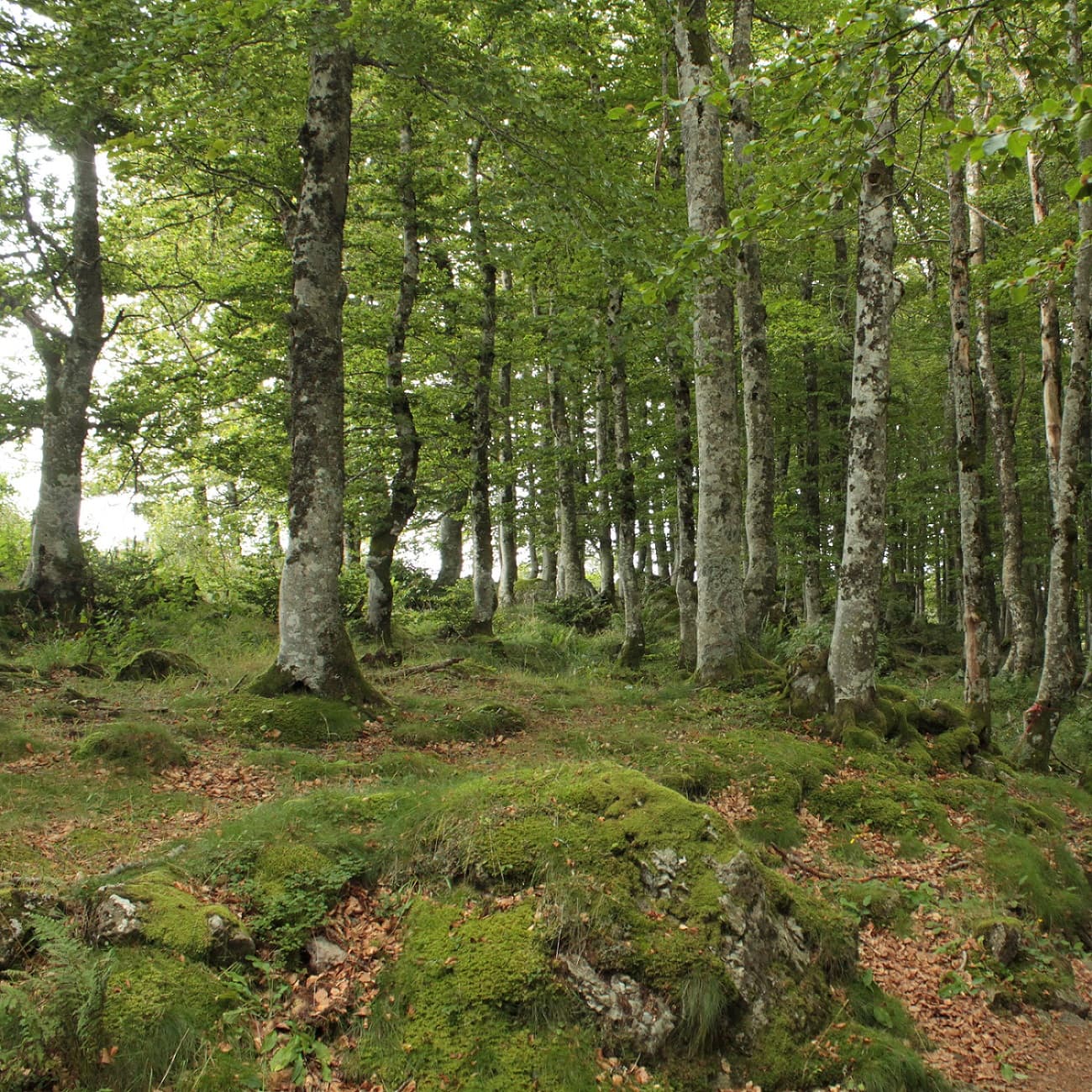 On foot
From Chastreix village to the glacial valley
Start: Parking à côté de l'église, au centre du bourg
- 18.3 km
- +535 m
- 5 h 30 min