
Ronde des Salilhes (Salilhes loop)
Start: Place de l’église de Salilhes, 15800 Thiézac
This peaceful route alternates between forest and summer pasture meadows, with the Monts du Cantal in the background and the bells of the herds as a soundtrack. Ideal in autumn to enjoy the lovely colours of the season and in summer for walking in the cool!
- Distance
- 7.4 km
- Elevation gain
- +384 m
- Elevation loss
- -385 m
- Duration
- 3 h
Route on the map
Base map © OpenTopoMap (CC-BY-SA): route licensed under ETALAB-2.0 via PNR des Volcans d'Auvergne.
The feel of the route
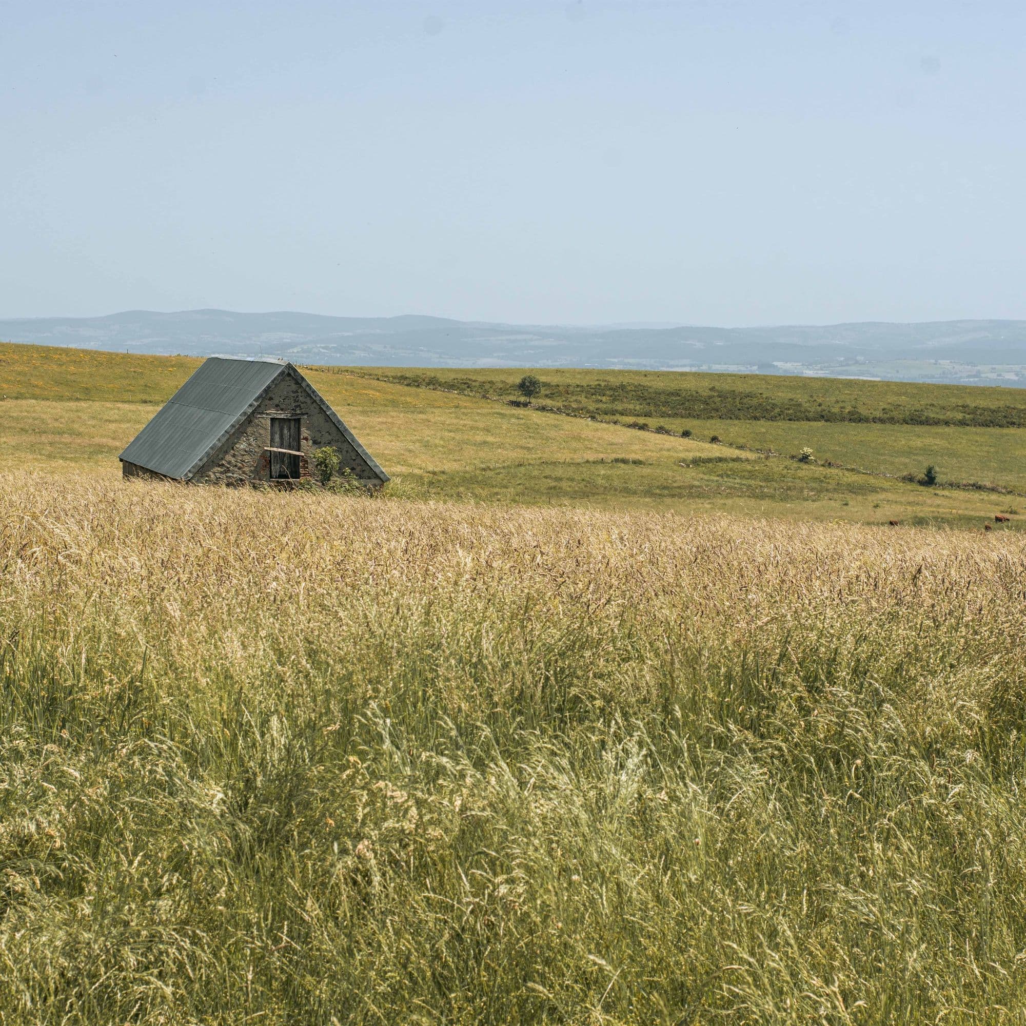
Setting off from the hamlet of Salilhes, you are on your way to a walk in the heart of restorative landscapes. The wind blows through the beech leaves, the bells of the herds ring out in the distance and a few birds of prey fly high above… For a moment you will swap the beech and fir forest for summer pasture meadows and a fine view of the Monts du Cantal from the Rocher de Saint-Curial.
The route in detail
Follow the yellow waymarking. The route starts on a tarmac road, then on a dirt track. Start: Place de l'église in Salilhes. From the war memorial, follow the road that climbs to the top of the village, then take the path on the right that leads to the village oven and joins the road.
Turn right onto the road to reach a wide path that climbs in zigzags to the Croix des Salilhes. After the cross, keep climbing until you reach a flat stretch. The path then resumes its ascent through woodland and reaches the Col de Berganty.
At the col, ignore the 3 main tracks and take the leftmost footpath towards Saint-Curial. Cross the beech wood then skirt the fir forest.
At the foot of the Rocher de Saint-Curial, you can climb to the summit (out and back, easy ascent). Watch out: the footpath is hard to see in summer because of the vegetation. Then rejoin the main route and go down to a house called “La Garde”, a former high-altitude farm.
Watch out: at “La Garde”, there is a junction with the PR (waymarked local footpath) “La grotte des anglais” (the English cave), which is also waymarked in yellow. Go behind the house and follow the path through the meadow before reaching the forest.
Go through the passage at the entrance to the forest, then turn right onto the track that goes down and leads to the place called “Caylane”. Follow the commune road for about 900 m before taking a small path that will bring you back to the start.
In pictures


Other hikes in the area
 On foot
 On foot
 On foot