
My mountain
Start: Parking de l’office de tourisme de Pailherols
Discover the lone burons (old stone huts) on the summer pastures of the Carladès on an easy walking route that shows you the typical landscapes of this Auvergne high plateau in a subtle mix of art and heritage.
- Distance
- 10.1 km
- Elevation gain
- +287 m
- Elevation loss
- -285 m
- Duration
- 3 h 45 min
Route on the map
Base map © OpenTopoMap (CC-BY-SA): route licensed under ETALAB-2.0 via PNR des Volcans d'Auvergne.
The feel of the route
After the Vestiaire du Berger (the shepherd's cloakroom) in an enclosed garden, the symbolic starting point of this walk, the path takes you up to the summer pastures, dotted with “hurdle sculptures”. Like an invitation to walk the mountain, the artwork marks out the path. A lovely walk, a tribute to the men who kept our mountains alive. This path across the plateau will give you wonderful views of the great Cantal volcano, without too much ascent. About a quarter of the route is shaded, the rest is exposed. No water along the way.
The route in detail
Start from the Pailherols tourist office, marked by a sign “Les Montagnes”, to the right of the village hall, heading west. The route is waymarked in yellow. The path gradually turns to the right, heading north.
Pass a triple crucifix and continue north-north-east.
Reach a wide, stony transhumance track, waymarked in white and red. Follow the yellow, white and red double waymarking to the right. The track, easy and pleasant, continues on a very gentle slope.
After a short descent, the track splits in two. Do not take the left branch that goes down towards the trees, and stay on the right-hand track, which is waymarked. The track curves to the right.
Head into a beech wood
On leaving the wood, at a post (+ sign), follow the yellow, white and red waymarking, which climbs to the right. 200 m further on, turn left. Reach a wide dirt road.
Take the dirt road to the right, leaving the white and red waymarking here, which goes off to the left following the sign “les Fraux”.
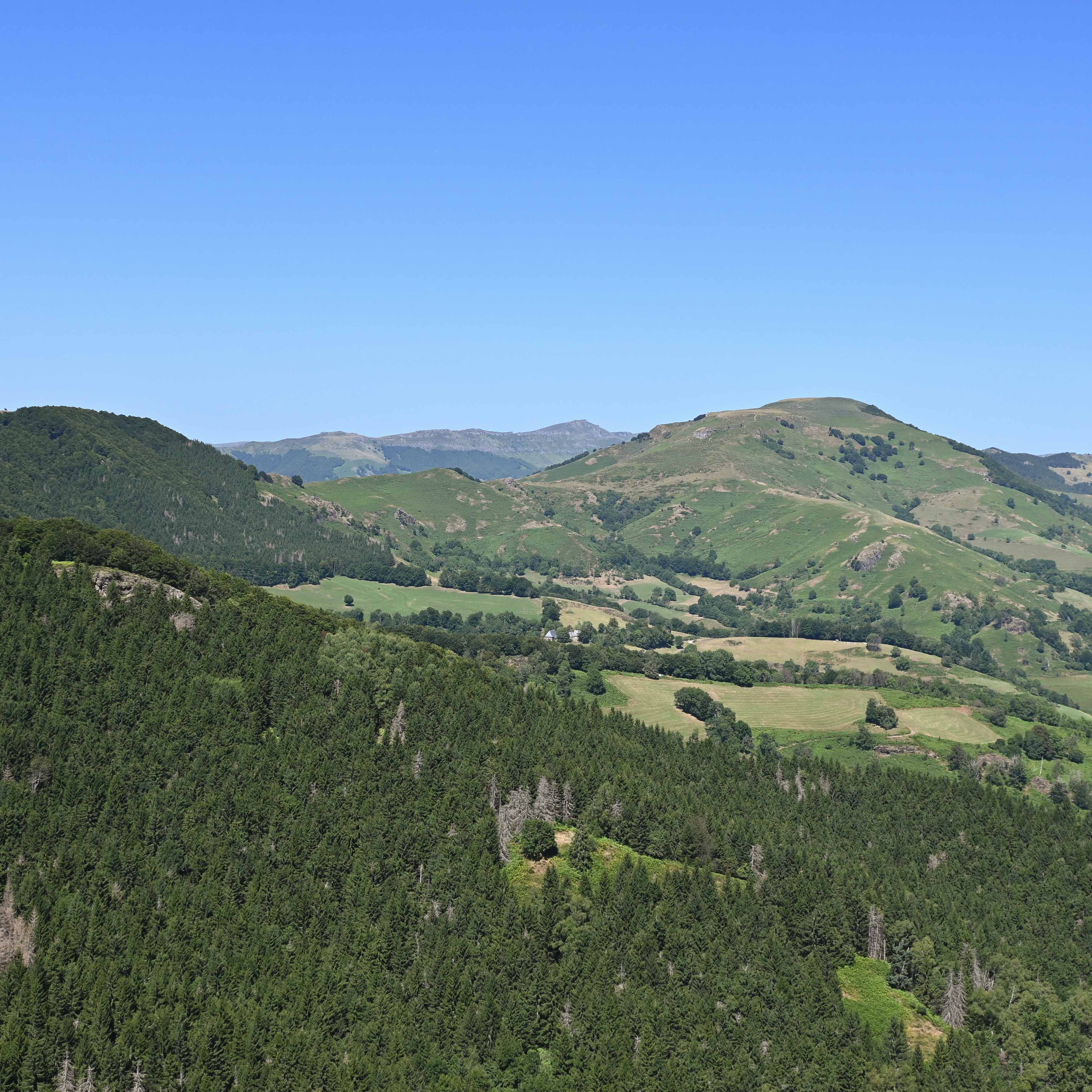
Orientation tables, with a view over the whole Carladès plateau to the west and south, and over the Chaîne des Puys to the north. From left to right: Corpou Sauvage and Élancèze; behind, the Chavaroche ridge, Téton de Vénus, Puy Mary, the ridge of the brèche de Rolland; in front, Griou; behind, Peyre-Arse. From here, the way back is less pleasant; some will choose to turn round. Follow the dirt road (yellow waymarking) to the south. Views over the cultivated Carladès plateau and its “Montagnes” here and there. The road turns right, south-west to south.
Artwork visible on the left. Carry straight on.
At a large beech with a double trunk (left side of the road), take the path to the right at a right angle.
Cross the tarmac road and continue on the path opposite.
Follow the tarmac road for the last 500 m before the village
In pictures


Other hikes in the area
 On foot
Ronde des Salilhes (Salilhes loop)
Start: Place de l’église de Salilhes, 15800 Thiézac
- 7.4 km
- +384 m
- 3 h
 On foot
 On foot
Puy d'Assac and the Bois de Montrozier
Start: Parking devant le collège des Gorges de la Truyère
- 13.5 km
- +297 m
- 4 h 15 min