
From Anzat to Laurie (stage 3 of the Tour des Vaches Rouges)
Start: Parking de l’église à Anzat-le-Luguet
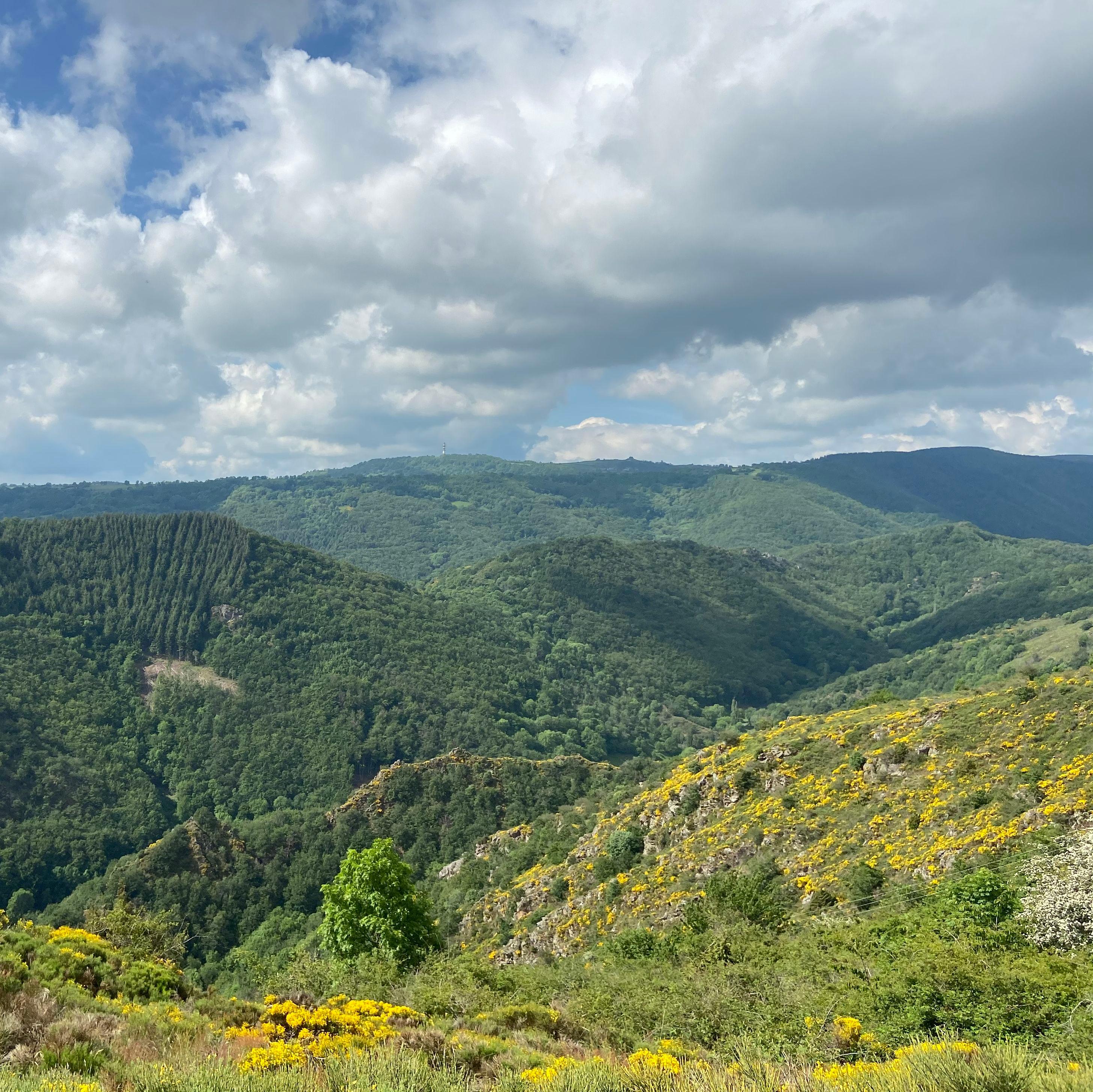
This stage takes you through a wilder part of the Cézallier. Between beech woods and a glacial valley, the route is dotted with small hamlets and their bread ovens, in the heart of green panoramas.
- Distance
- 19.9 km
- Elevation gain
- +684 m
- Elevation loss
- -931 m
- Duration
- 6 h
Route on the map
Base map © OpenTopoMap (CC-BY-SA): route licensed under ETALAB-2.0 via PNR des Volcans d'Auvergne.
The feel of the route
This is one of the longest stages of the Tour des Vaches Rouges, with almost 21 km to cover. The physical effort is made up for by the variety of landscapes: you will go through the Bois de Besse, the gorges of the Apcher and Barthonet streams and the Lusseaud plateau.
The route in detail
Start: From the church, head for the cemetery. Once past it, leave the road by keeping left, and at the end of that path turn right at the T-junction and go through the hamlet of Besse to go down into the valley.
On the valley floor, cross the stream "La bave" and take the stony path that climbs on the left. Rejoin the road as you leave the forest and take the path opposite. 200 m further on, turn sharp left (hairpin) onto the gravel track. On reaching the road, go through the village of Combalibeuf on the left. At the Y-junction on leaving the village, take the middle path to Courteuge.
At the Y-junction, on leaving the hamlet of Courteuge, leave the main road by the path that climbs on the right. 500 m further on, ignore the path on the right and carry straight on. Start a long descent on a stony track, go through Leyvaux keeping right towards the path that climbs back up a little.
At the T-junction turn left and carry on down, cross the stream and climb the steep stony slope until you reach a forest path. Once on it, turn left and keep climbing until you rejoin the road, then continue left towards the village of Lussaud.
In Lussaud, pass to the left of the church and take the track on the right. Rejoin the road, turn right, then leave it to the left 50 m further on by a small path that goes down. Cross the stream and climb back up opposite, staying on the main path.
Go through Alianc on the main road. Just before you leave the village, leave the big bend on the left and, behind the last building, turn right straight away. Rejoin the road and continue for 500 m.
Here you have 2 options: carry straight on towards the village of Laurie to get something to eat, or take the track on your right and join stage 4 of the Tour des Vaches Rouges (Laurie - Peyrusse).
In pictures


Other hikes in the area
 On foot
 On foot
 On foot