
From Allanche to Chalinargues via the Bois de la Pinatelle (stage 1 of the Découverte intime du Cézallier multi-day route)
Start: Place du Cézallier à Allanche
Link Allanche to Chalinargues while discovering the Pinatelle forest and its wildlife.
- Distance
- 15.1 km
- Elevation gain
- +383 m
- Elevation loss
- -306 m
- Duration
- 4 h
Route on the map
Base map © OpenTopoMap (CC-BY-SA): route licensed under ETALAB-2.0 via PNR des Volcans d'Auvergne.
The feel of the route
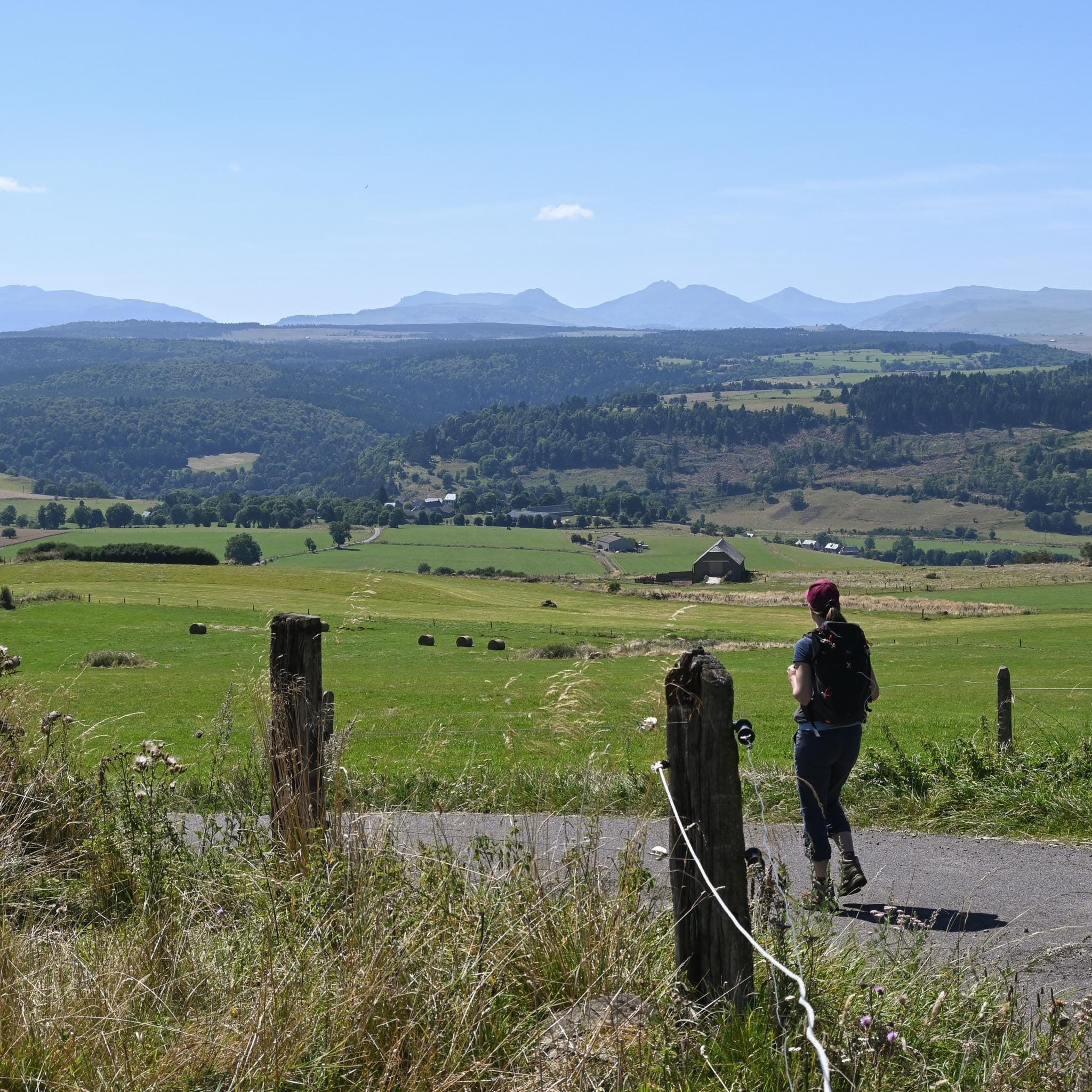
After visiting Allanche, following your arrival by bus the day before, leave the town and climb towards the pastures along small paths lined with low dry-stone walls. On this fairly open start to the route, you can enjoy views of the gentle, rounded hills typical of the Cézallier. You then reach Maillargues, before plunging into the Bois de la Pinatelle. Accompanied by the murmur of the Cézerat stream and sheltered by the forest canopy, you may meet a roe deer, squirrels or even a stag if you choose to walk in late summer, during the rutting season (the "brame").
The route in detail
Start: Place du Cézallier in Allanche.
Go to the church square, then straight on to the Thuron fountain, then climb to the left to follow the yellow PR (waymarked local footpath) "Puy de Mathonière".
Turn right onto a tarmac road to continue on the PR "Puy de Mathonière - retour Maillargues" (back to Maillargues). Go past the oven on your left and carry straight on, go down the rue des Hirondelles, then take the path on the right and follow "Puy de Mathonière - retour parking" (back to the car park).
Stop following the PR "Puy de Mathonière" and turn left between two houses. Go down to the D679. Cross with care, then keep going down.
Cross the bridge, then turn left.
Cross the railway, then leave the road and take a path that climbs on the right (the route of the GTMC, Grande Traversée du Massif Central).
Leave the GTMC route and continue towards the mountain bike route "Vallée de Cézerat".
Turn right.
Turn left onto a wide track and keep going straight on.
Leave the forest, then climb to the right along the road for a few metres before leaving it to pick up a forest path on the left that leads to the Bois de Mouret. In the wood, at the first junction, carry straight on towards Lac du Pêcher/Bois de la Pinatelle - mountain bike route no. 5.
Climb to the right and follow the "Bois de la Pinatelle" waymarking (PR).
Carry straight on and ignore the junctions ahead.
Leave the forest and take the path on the left.
Go left onto the road and carry straight on to the gîte.
In pictures

Other hikes in the area
 On foot
 On foot
 On foot
From Peyrusse to Allanche (stage 5 of the Tour des Vaches Rouges)
Start: Parking à l’entrée du village sous la mairie de Peyrusse.
- 12.5 km
- +377 m
- 3 h 30 min