
From Allanche to Marcenat (stage 6 of the Tour des Vaches Rouges)
Start: Parking place du Cézallier à Allanche
This stage is an invitation to make plenty of discoveries: a bread oven, a little stone bridge, a métier à cheval (farrier's stocks). All of it scattered across the big open natural spaces and summer pastures typical of the Cézallier.
- Distance
- 21.7 km
- Elevation gain
- +553 m
- Elevation loss
- -471 m
- Duration
- 6 h 15 min
Route on the map
Base map © OpenTopoMap (CC-BY-SA): route licensed under ETALAB-2.0 via PNR des Volcans d'Auvergne.
The feel of the route
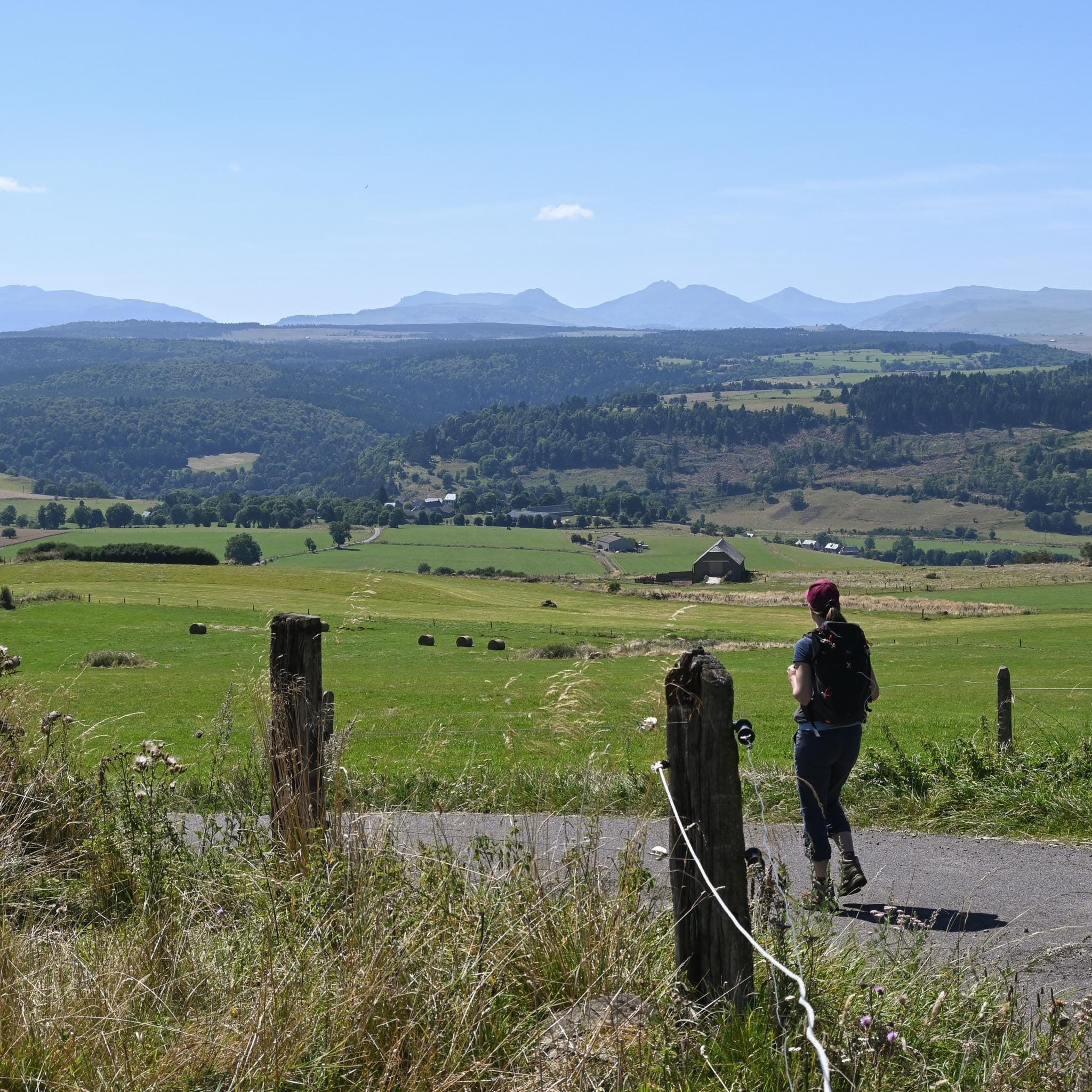
Along the way you will see that grass is everywhere, swept by the breeze, and you will pick out the rounded plateaux of the Cézallier that are called "montagnes" (mountains) here. At the Roche d'Apcher you will come across the imposing jumble of basalt rocks, which you could compare to a real sea of stones, and further on you will cross the big summer pasture of the Marquizat buron.
The route in detail
Start: With your back to the Hôtel Bomal, go straight on across the bridge. Just after it, turn right, cross a boardwalk and follow the river.
At the hamlet of Le Bac, turn right, cross the main road and take the gravel path on the left, ignoring the boardwalk. At the next Y-junction, take the grassy path on the left that climbs into the forest. On the way down, rejoin a road, then leave it on the right by the next path. Keep left for 2.5 km before reaching a road at the entrance to Pradiers.
In Pradiers, leave the main road on the left at a small square. At the end of the village, branch left to go down into the valley along the path that passes a small traditional stone building with its lauze (stone slab) roof.
Cross the various summer pastures, always going straight on. Ignore the paths that climb or descend near the gates and continue through the woods.
Branch left and take the stone bridge over the stream; at the road turn right and pass to the left of the buildings, following the road.
At Rascoupet, just after the entrance to the hamlet, turn left and keep left along a grassy path that weaves between the meadows. Come out onto a bigger track, turn right, then carry straight on at the next crossroads.
At the hamlet of "le Pont des Ondes", branch right, carry on for 700 m and turn left just before the few buildings. At the Y-junction, take the immediate right and continue towards "le Greil", going straight through the village. On leaving it, take the path that climbs on the left at the Y-junction.
Cross the summer pasture using the buron (old stone hut) as your landmark, go round it following the fence, then leave the pasture by the path on the left.
Rejoin the road and continue right to Marcenat.
In pictures


Other hikes in the area
 On foot
From Marcenat to Montgreleix (stage 7 of the Tour des Vaches Rouges)
Start: Hôtel de ville de Marcenant
- 14.3 km
- +510 m
- 4 h 15 min
 On foot
 On foot