
From Marcenat to Montgreleix (stage 7 of the Tour des Vaches Rouges)
Start: Hôtel de ville de Marcenant
The second-to-last stage of the Tour des Vaches Rouges, this 14 km walk links Marcenat to Montgreleix across the summer pastures of the Cézallier. An Orthodox monastery, the Sailhant waterfall, a buron (old stone hut) with a 360-degree view, from the Sancy to the Monts du Cantal.
- Distance
- 14.3 km
- Elevation gain
- +510 m
- Elevation loss
- -341 m
- Duration
- 4 h 15 min
Route on the map
Base map © OpenTopoMap (CC-BY-SA): route licensed under ETALAB-2.0 via PNR des Volcans d'Auvergne.
The feel of the route
The Cézallier is an ocean of grass. One of the biggest summer-pasture plateaux in Europe, almost treeless and swept by the wind, where the mahogany-coated Salers cows gave their colour to the name of the circuit. Walking here means stepping into pastoral farming that is very much alive: stone burons, free-roaming herds, a wide silence.
This stage has character without ever pushing you hard. The climbing stays gentle, but the constant altitude and the big open spaces work your legs differently. Our advice: keep it for the good weather, from late May to October, when the pastures are occupied and the light skims the plateau at the end of the day. Dogs are not allowed, even on a lead: the herds are at home here.
The route in detail
You set off from the town hall of Marcenat, in the Cantal, for the second-to-last stage of the Tour des Vaches Rouges. Allow a little over 14 km and about 4 hours 15 of walking, with 510 m of well-spread climbing. Nothing brutal: you stay between 1,050 and 1,270 m, on the high plateaux of the Cézallier.
The path first heads for Bel Air, descends gently, then climbs back up to the hamlet of La Maninie and Rocherousse. You link one summer pasture after another, those big high-altitude grazing lands where the herds spend the summer. The terrain alternates between quiet road, stony paths and meadows to cross, keeping the fence on your left.
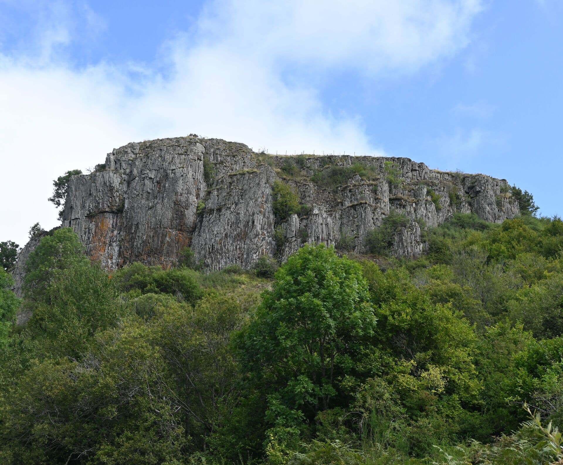
A striking spot at the place called La Traverse: the Orthodox monastery of the Mother of God stands there, right on the plateau. A little further on, near the hamlet of Le Saillant, the Sailhant waterfall is worth a stop. You then climb through the summer pastures to a buron, where the view opens out through 360 degrees over Mont Chamaroux, the Massif du Sancy and the Monts du Cantal.
The end tips over behind the buron and drops towards Montgreleix. You skirt the hamlet of Le Lac, pass the cemetery, and reach the heart of the village, which sits at over 1,200 m. The waymarking follows the red cows all the way along, easy to keep an eye on.
In pictures

Other hikes in the area
 On foot
From Montgreleix to Egliseneuve (stage 8 of the Tour des Vaches Rouges)
Start: Parking place de l’église à Montgreleix
- 12.3 km
- +252 m
- 3 h 30 min
 On foot
From Allanche to Marcenat (stage 6 of the Tour des Vaches Rouges)
Start: Parking place du Cézallier à Allanche
- 21.7 km
- +553 m
- 6 h 15 min
 On foot