
From Laurie to Peyrusse (stage 4 of the Tour des Vaches Rouges)
Start: De Laurie
This stage takes you through the different landscapes the Cézallier has to offer, and you will also discover local know-how.
- Distance
- 19 km
- Elevation gain
- +629 m
- Elevation loss
- -574 m
- Duration
- 6 h
Route on the map
Base map © OpenTopoMap (CC-BY-SA): route licensed under ETALAB-2.0 via PNR des Volcans d'Auvergne.
The feel of the route
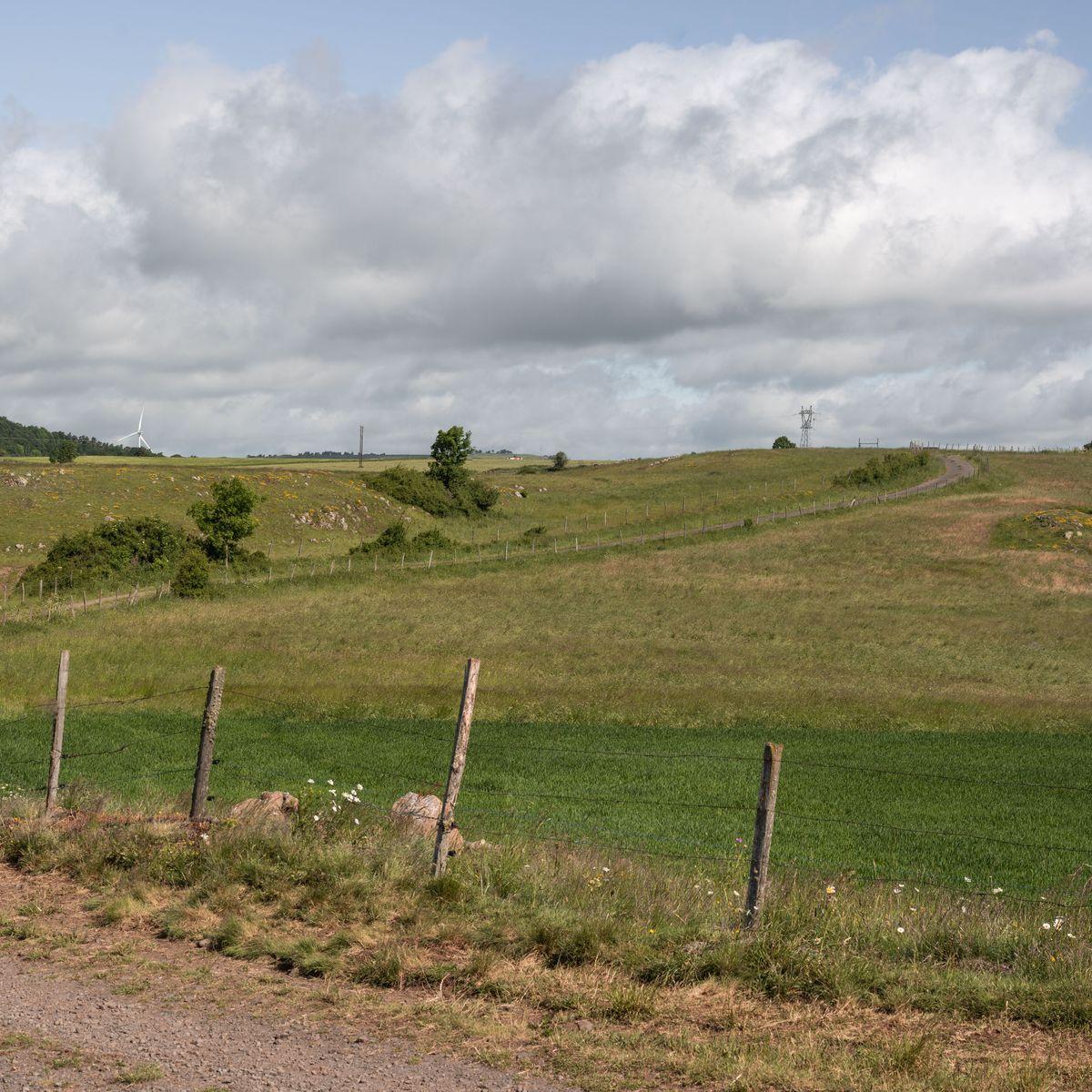
Between valleys, woods and plateaux, you can also enjoy the view of the medieval tower of Colombine, built on an old feudal motte (castle mound), and a pretty stone bridge over La Sianne, at the Fournial mill. But you will also cross summer pastures, gradually leaving the wooded and wild Cézallier behind.
The route in detail
Start: From Laurie, go back up the road you took the day before and take the gravel track that leaves on the left after the village exit sign.
At the Y-junction go left, skirt round the copse and pick up the gravel path opposite and continue left. Then take the first on the left and keep right until you rejoin the road.
At the road take a sharp left (hairpin), then 100 m further on take a sharp right (also a hairpin) along a small path. Go through Foulières below, keeping right, and pick up a path of stones and grass, and keep going down for 2 km. Follow this main path, which goes over a rise, through the hamlet of La Bastide and starts a long descent, staying on the road until you rejoin the D9.
At the D9, turn right then straight away left onto the path that goes down to La Sianne. Just before the mill turn left and cross the stone bridge to take a stony path that climbs for 4 km.
Go through the hamlet of Le Bru and leave the main road on the left at the car park near the fountain. Go past the bottle banks and take the gravel path on the right.
On reaching the road, turn right then immediately left and at the Y-junction branch right. Follow the path that makes a 90° turn to the left.
At the road, turn right then immediately left between the meadows for 400 m. Leave the grassy path that continues ahead of you and turn left. On reaching a farm take a sharp left (hairpin) then, before the hamlet, as you reach the main road, turn right and continue on it for 800 m.
At the hairpin bend carry straight on to the grassy path that goes down into the forest, rejoin the road. Go down to the right into the village of Peyrusse.
In pictures


Other hikes in the area
 On foot
 On foot
From Peyrusse to Allanche (stage 5 of the Tour des Vaches Rouges)
Start: Parking à l’entrée du village sous la mairie de Peyrusse.
- 12.5 km
- +377 m
- 3 h 30 min
 On foot
From Anzat to Laurie (stage 3 of the Tour des Vaches Rouges)
Start: Parking de l’église à Anzat-le-Luguet
- 19.9 km
- +684 m
- 6 h