
From Egliseneuve to Brion (stage 1 of the Tour des Vaches Rouges)
Start: Parking de la maison des fromages AOP
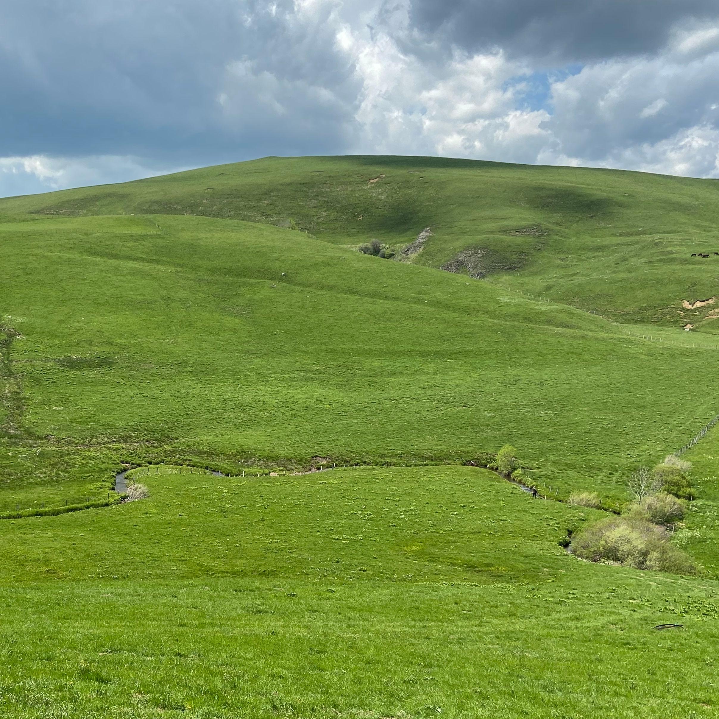
This first stage alternates lovely viewpoints over volcanoes, peat bogs and lakes.
- Distance
- 15.8 km
- Elevation gain
- +608 m
- Elevation loss
- -319 m
- Duration
- 5 h 15 min
Route on the map
Base map © OpenTopoMap (CC-BY-SA): route licensed under ETALAB-2.0 via PNR des Volcans d'Auvergne.
The feel of the route
This part of the Cézallier lets you take in the Massif du Sancy, the Monts du Cantal and the Puy de Dôme all at once. At La Godivelle, don't miss the Lac d'En-Haut, a crater lake of volcanic origin, and make a detour to the Lac d'En-Bas, of glacial origin, made up of peat bogs.
The route in detail
Start from the Maison des fromages AOP (AOP cheese house, AOP meaning protected designation of origin), go through the village and down towards the Rhue valley. At the bottom, cross the bridge and immediately take the road on the left that climbs, then take the path that leaves on the left into the woods at a hairpin bend and keep climbing until you leave the woods.
On leaving the wood, at the buildings take the path on the left that runs along the tall hedges. Rejoin the road further on, follow it for 200 m, then take a track on the right again.
In Espinchal go past the town hall, then turn right towards the main road, follow it for 100 m before making a sharp right (hairpin) towards Sandalouze.
In La Godivelle, go through the village past the fountain, then follow the road that passes to the right of the town hall for 600 m and then branch left onto the grassy path that crosses the wetlands.
On leaving the wood, take the path on the left that runs along the forest and then starts to bend right. At the end of the path, at the T-junction, turn right to Brion.
In pictures


Other hikes in the area
 On foot
Jassy
Start: Panneau de départ et petit parking, sur la D32, en bas du village, face à la mairie
- 14.3 km
- +321 m
- 4 h
 On foot
From Montgreleix to Egliseneuve (stage 8 of the Tour des Vaches Rouges)
Start: Parking place de l’église à Montgreleix
- 12.3 km
- +252 m
- 3 h 30 min
 On foot