
From Pont des Eaux to Mazayes (stage 2 of the Dômes loop)
Start: Pont des Eaux
A stage along the River Sioule, home to many species, and through the heart of small Auvergne hamlets.
- Distance
- 10.6 km
- Elevation gain
- +160 m
- Elevation loss
- -222 m
- Duration
- 3 h 30 min
Route on the map
Base map © OpenTopoMap (CC-BY-SA): route licensed under ETALAB-2.0 via PNR des Volcans d'Auvergne.
The feel of the route
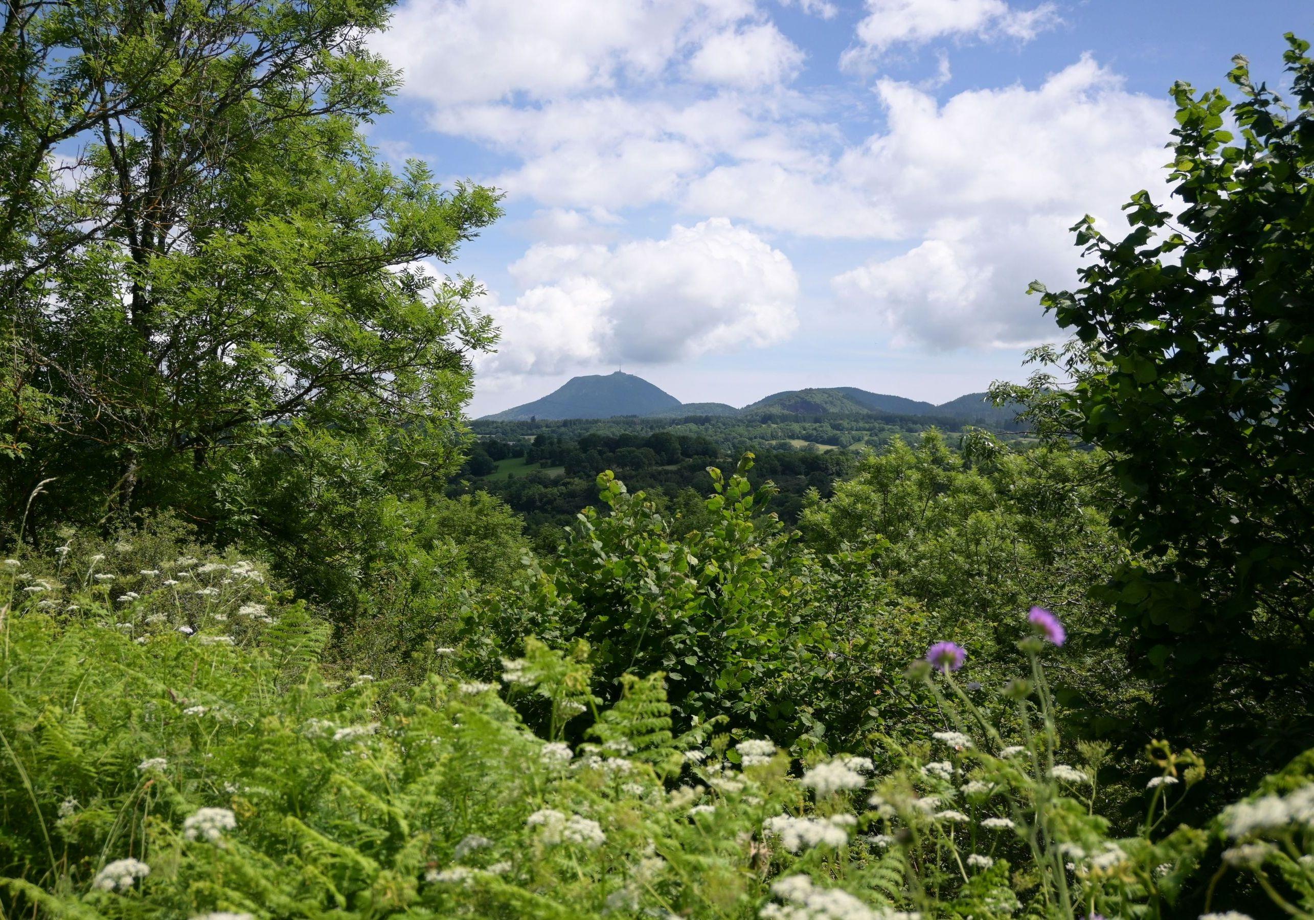
Varied viewpoints over the Chaîne des Puys open up as you go, and you will learn more about rural life and local architecture with the Saint-Pierre church in Olby and the Saint Germain church.
The route in detail
Take the grassy path that climbs opposite, to the right of a cross, overlooking the Sioule, and follow it to Monteribeyre. Turn left, then right to reach the road, then go down to the left. After the stone bridge, turn right and take the second path on the left. Follow this path, ignoring the paths on either side, and carry straight on towards Olby. Take the first on the right until you reach a small road.
After the bridge, continue to the village. At the fountain, turn left, go through the village to the fork and follow the direction of Ceyssat. At the cemetery, follow the road for a kilometre. After the farm, in the bend, take the path on the left to reach La Gardette, and carry straight on to the fountain.
Turn left towards Mazayes. At the stone cross, turn left, then right at the next fork. Follow the road to the right to reach Mazayes.
In pictures


Other hikes in the area
 On foot
 On foot
 On foot
From the marsh to the lava flow
Start: Au pied Est du Rey de St-Pierre, près du passage à niveau.
- 7.5 km
- +139 m
- 2 h