
From Brion to Anzat (stage 2 of the Tour des Vaches Rouges)
Start: Brion “Le Foirail” à Compains
From the feudal motte (castle mound) of Brion, enjoy a 360° view, from the Forez all the way to the Cirque d'Artoux! You will then cross the rolling plateaux of the Cézallier, dotted with summer pastures.
- Distance
- 16.5 km
- Elevation gain
- +382 m
- Elevation loss
- -491 m
- Duration
- 5 h 15 min
Route on the map
Base map © OpenTopoMap (CC-BY-SA): route licensed under ETALAB-2.0 via PNR des Volcans d'Auvergne.
The feel of the route
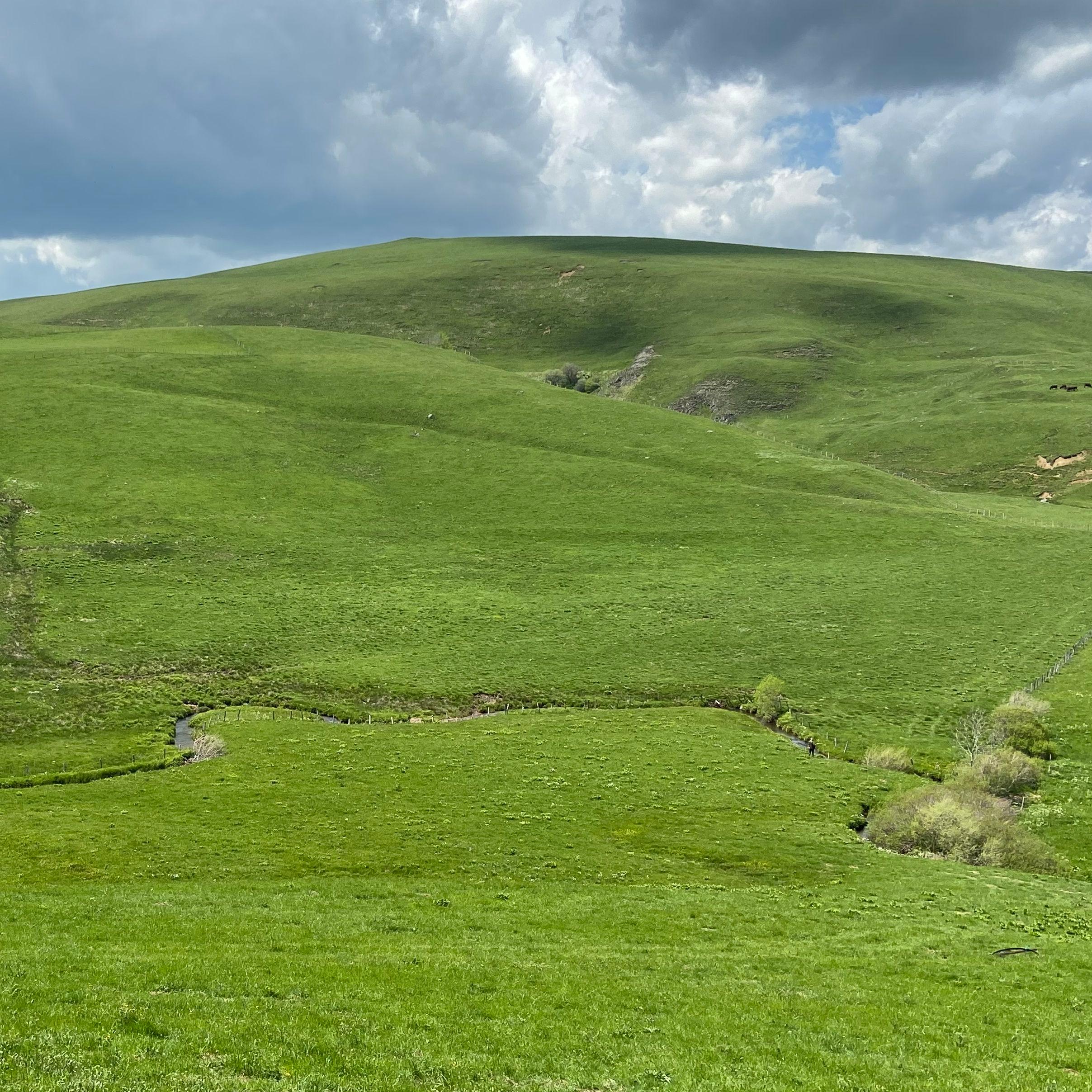
This stage takes you through big green open spaces, where you will spot Salers, Aubrac and Limousin cattle, as well as burons (old stone huts) and villages geared towards the production of farm products.
The route in detail
Start: From the car park at the top of the village of Brion, take the road on the left that passes behind the motte at the "Parc des Volcans d'Auvergne" sign. At la grande Charrue, take the grassy paths that cross the plain.
Cross the stream, turn right onto the stony track then straight away left towards the woodland. On reaching the road, carry on opposite, passing behind the hill.
In the village of Jassy, turn right and at the Y-junction on leaving the village go left. Follow the main road to the village of Boutaresse.
WATCH OUT: it is at Boutaresse that you take "the shortcut" to do the TVR (Tour des Vaches Rouges) in 5 days. For the classic tour, carry straight on at the D721/D724 crossroads towards Anzat-le-Luguet. Continue on the D721 then, after a series of bends, turn right onto the stony path that climbs at a right angle to the road.
Take the hairpin bend to the left, then the path turns sharply right. On leaving that bend, leave the main track to the left towards the path that climbs into the woods.
Come back onto the D721 and turn right towards Parrot; at the entrance to the village turn left then immediately right at the Y-junction and take a path that turns sharply right. Follow this winding path as it descends towards the Cirque d'Artoux.
At the Y-junction turn right and climb back up the flank of the hill. Once you have rejoined the D721, cross straight over into the hamlet of Luguet, then follow the D721 and carry on to the village of Anzat.
In pictures


Other hikes in the area
 On foot
 On foot
Jassy
Start: Panneau de départ et petit parking, sur la D32, en bas du village, face à la mairie
- 14.3 km
- +321 m
- 4 h
 On foot