
From Laschamps to Pont des Eaux (stage 1 of the Dômes loop)
Start: Laschamps
A stage along the puys (volcanic cones) with wooded summits: Puy de Laschamp, Puy de Mercœur, Puy de Pourcharet and Puy de Montjuger.
- Distance
- 12 km
- Elevation gain
- +221 m
- Elevation loss
- -408 m
- Duration
- 4 h 30 min
Route on the map
Base map © OpenTopoMap (CC-BY-SA): route licensed under ETALAB-2.0 via PNR des Volcans d'Auvergne.
The feel of the route
The route begins in leafy green forest, with the puys to discover. You then reach Recoleine and its little chapel before arriving at the hamlet of Pont des Eaux.
The route in detail
At the cemetery, follow the main street up towards the church and the gîte, then at the "no entry" sign take the street on the left. Cross the road and continue opposite (GR4/441, red and white waymarking). Ignore the paths on either side and carry on to the "1,097 m" sign, then go down to the right. Continue on the GR, go straight over the crossroads and carry on to the fork at the foot of the Puy de Montjuger.
Keep right (viewpoint over the Sancy). Ignore the paths on the right and left, continue on the path, which becomes a tarmac road. At the T-junction, turn left (to the right, out and back to the Recoleine chapel.) Continue down to the departmental road and go under the road.
Carry straight on, ignore the paths on either side and join the road. Take the grassy path opposite towards Olmont, as far as the crossing path. Turn left towards Olmont, cross the stream, then take the small road that climbs to Olmont.
Turn right, leave the path on the right, continue on the plateau (viewpoint over the Chaîne des Puys). At the cross, branch left to go straight down to the place called Les Eaux. Take the road opposite and join the departmental road at Pont-des-Eaux.
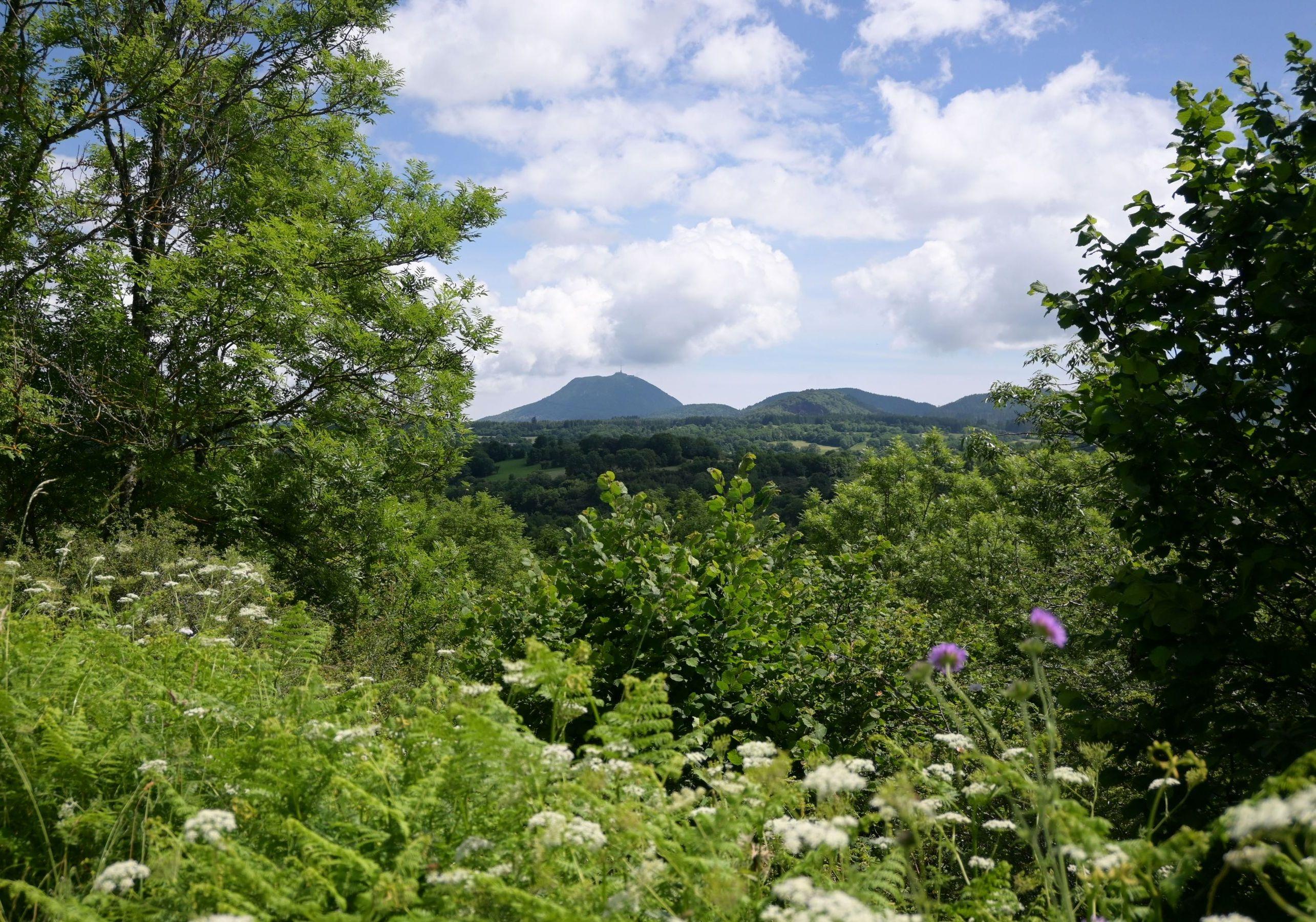
In pictures


Other hikes in the area
 On foot
 On foot
From Pont des Eaux to Mazayes (stage 2 of the Dômes loop)
Start: Pont des Eaux
- 10.6 km
- +160 m
- 3 h 30 min
 On foot