
Our take
A drop of about twelve metres in the Bois de Champs, ten minutes' walk from the roadside, with a footbridge over the stream.
Waterfall at Besse-et-Saint-Anastaise. Short path, forest atmosphere, open access after a ten-minute walk.
South of Besse, the Vaucoux waterfall, also called the Anglard waterfall, tumbles down a volcanic rock face about twelve metres high in the Bois de Champs. The Vaucoux stream plunges over it in a cool, wooded setting. It takes about ten minutes to walk there from the edge of the Compains road, and a footbridge across the stream lets you look at it. Access is open and free. A pleasant nature detour to combine with the nearby Lac Pavin and Besse.
A word on swimming, since the question comes up a lot: the waterfall is not a developed swimming spot. No lifeguards, no facilities, and a path that gets slippery in wet weather. Come for the falls and the cool of the woods, not to swim.
Why we love it
- A drop of about twelve metres down a volcanic rock face
- The Vaucoux stream, in the Bois de Champs
- Short, free access, ten minutes' walk from the road
Top tip
Bring good shoes: the path goes down to the waterfall and gets slippery in wet weather. You park on the verge of the Compains road. In bad weather, put it off until later, and keep Lac Pavin for the same day.
Before you go
- Free parking on the verge of the Compains road, at the start of the path.
- Dogs allowed, kept on a lead.
- Closed-toe shoes
Weather for the next 3 days
Today
11°/1°
7 mm · 52 km/h
Tomorrow
15°/1°
dry · 11 km/h
Tue 27
18°/11°
dry · 20 km/h
Source: Open-Meteo (CC BY 4.0). General lowland forecasts, to be cross-checked with specialist mountain forecasts at altitude.
Practical info
- Address
- Cascades de Vaucoux ou d'Anglard, 63610 Besse-et-Saint-Anastaise, France
63610 Besse-et-Saint-Anastaise
What visitors say
Google rating
Average of 158 reviews on Google Maps.
Community rating
No reader reviews yet: yours gets things started.
Your logbook
Around Cascades de Vaucoux ou d'Anglard
14 spots in and around Besse-et-Saint-Anastaise, enough to build your day.
Where to eat close by
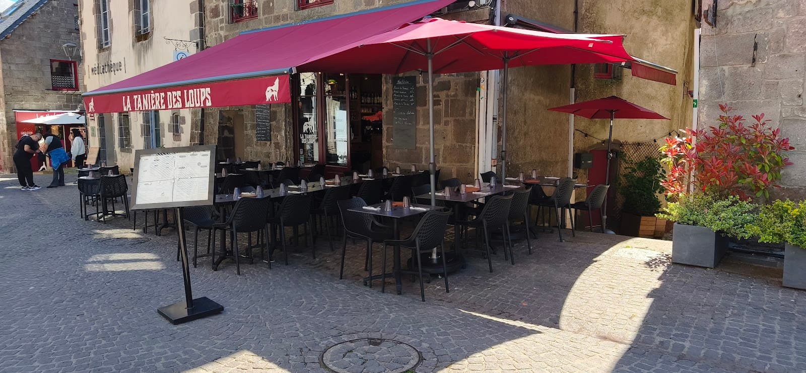 €€
La Tanière des Loups
4.8Besse-et-Saint-Anastaise · 2.3 km away
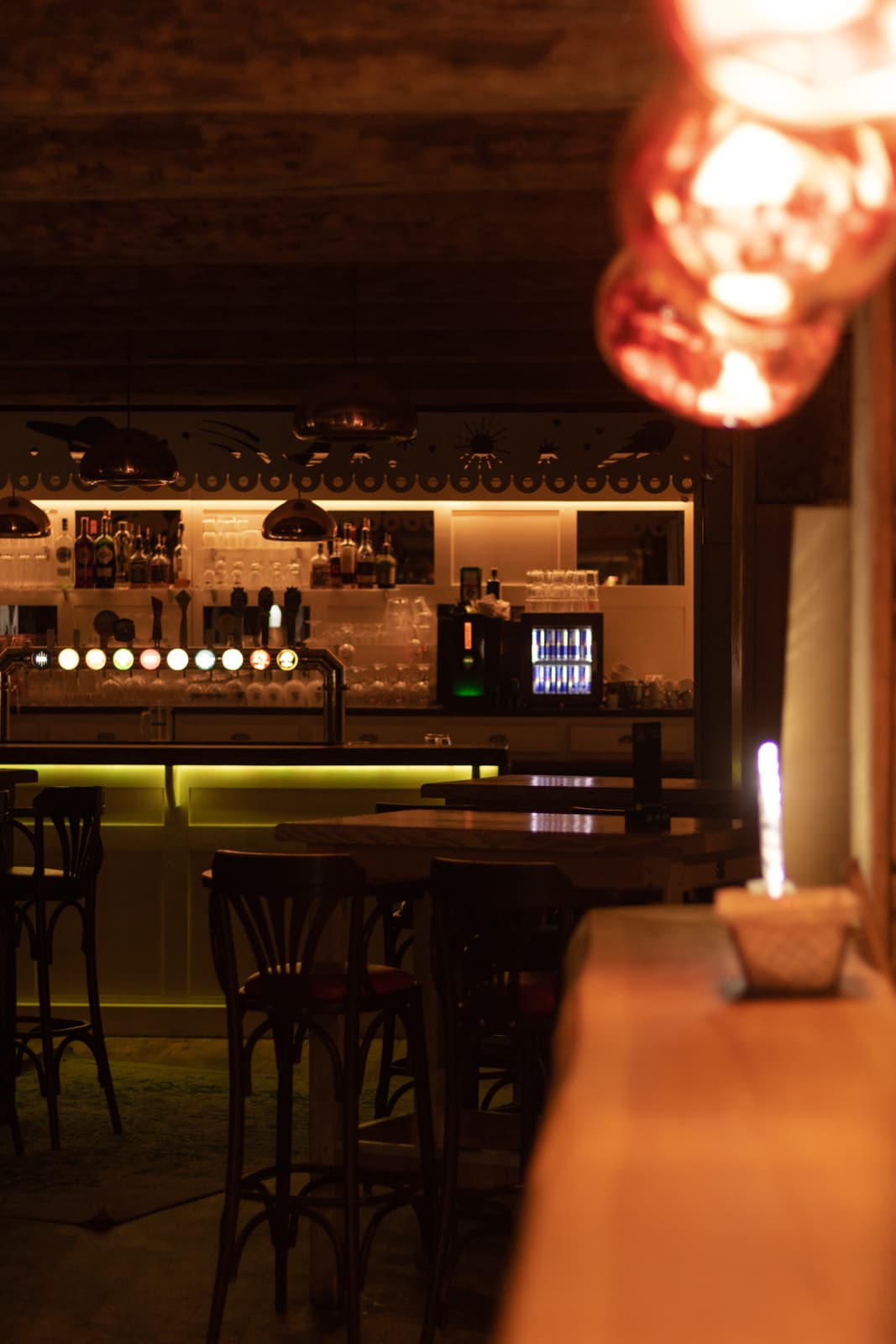 €€
Mémé Joe
4.8Besse-et-Saint-Anastaise · 6.8 km away
Where to stay nearby

Camping Bois de Gravière
4.2Besse-et-Saint-Anastaise · 2.8 km away
 €
Résidence Le Bois de la Reine
4.0Besse-et-Saint-Anastaise · 5.9 km away
 €€
L'Auberge du Bougnat
4.4Saint-Victor-la-Rivière · 6.6 km away
Hikes nearby
Waymarked routes within 15 km, GPX track included.
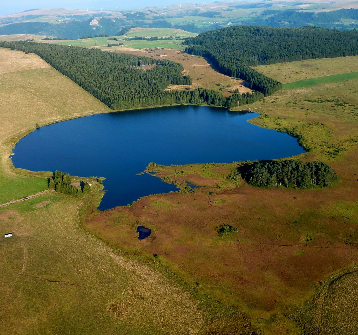 On foot
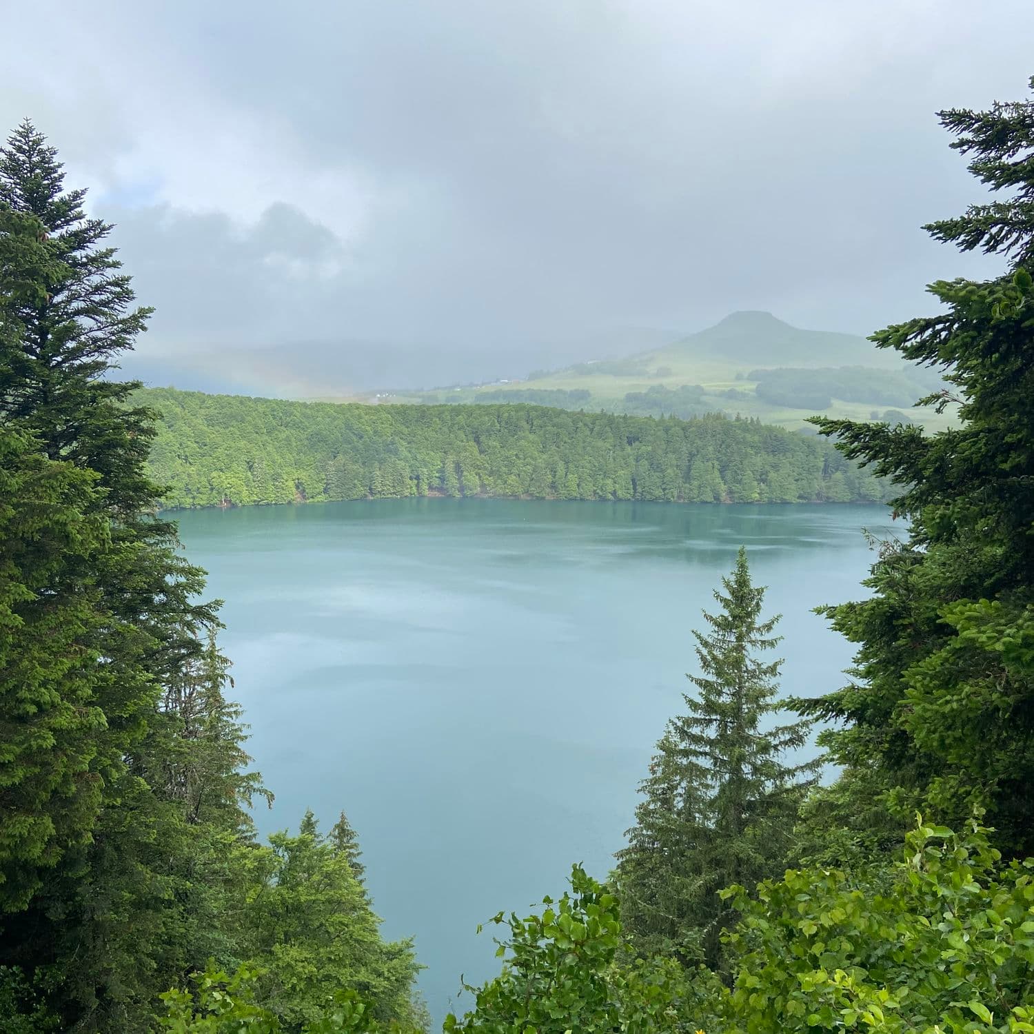 On foot
Hikes around Cascades de Vaucoux ou d'Anglard
On footOn foot On foot
From Egliseneuve to Brion (stage 1 of the Tour des Vaches Rouges)
Start: Parking de la maison des fromages AOP
- 15.8 km
- +608 m
- 5 h 15 min
You might also like
More waterfalls in Puy-de-Dôme and nearby.

Cascade du Sailhant
4.8Andelat · Cantal
56 reviews

Cascade de Faillitoux
4.7Thiézac · Cantal
168 reviews

Cascade des Veyrines
4.7Landeyrat · Cantal
267 reviews

Cascade du Rossignolet
4.7Le Mont-Dore · Puy-de-Dôme
342 reviews

Cascade du Saut du Loup
4.2Le Mont-Dore · Puy-de-Dôme
206 reviews

Cascade des Essarts
4.2Chastreix · Puy-de-Dôme
9 reviews