
 On foot
Moderate

Besse-et-Saint-Anastaise, cité médiévale en pierre volcanique au cœur des monts Dore, 1 700 habitants à 1 050 m d'altitude dans le Puy-de-Dôme. Bourg fortifié au pied du Sancy, à 5 min de la station Super-Besse (1 350 m, ski et VTT).
This page isn't translated yet: here's the French version in the meantime.
Besse-et-Saint-Anastaise, cité médiévale en pierre volcanique au cœur des monts Dore, 1 700 habitants à 1 050 m d'altitude dans le Puy-de-Dôme. Bourg fortifié au pied du Sancy, à 5 min de la station Super-Besse (1 350 m, ski et VTT).
Centre historique compact en lave noire, fortifications partielles, porte de Ville, festival des Pastourelles en juillet. Position idéale entre lac Pavin (5 min), Puy de Sancy (15 min), Super-Besse (5 min).
À voir : Lac Pavin (cratère parfait), Puy de Montchal (1 411 m, vue sur Pavin), Cascades de Vaucoux, Lac de Bourdouze. Station Super-Besse en saison (ski hiver, VTT été). Vieille ville à pied 1h.
En pratique : navette gratuite Besse-Super-Besse en saison. Marché lundi matin. Parking gratuit en périphérie, centre piéton.
Why we love it
Le seul bourg médiéval fortifié à 1 050 m d'altitude des monts Dore, base parfaite entre lac Pavin, Sancy et station Super-Besse.
Navette gratuite Besse-Super-Besse en saison. Lac Pavin en boucle à pied (1h30), top moment au lever du jour. Marché lundi matin.
Gallery
Photos from Google Maps. Credit: Google and contributors.


Places
Filter by section, category, find, or search for a specific name.

Besse-et-Saint-Anastaise
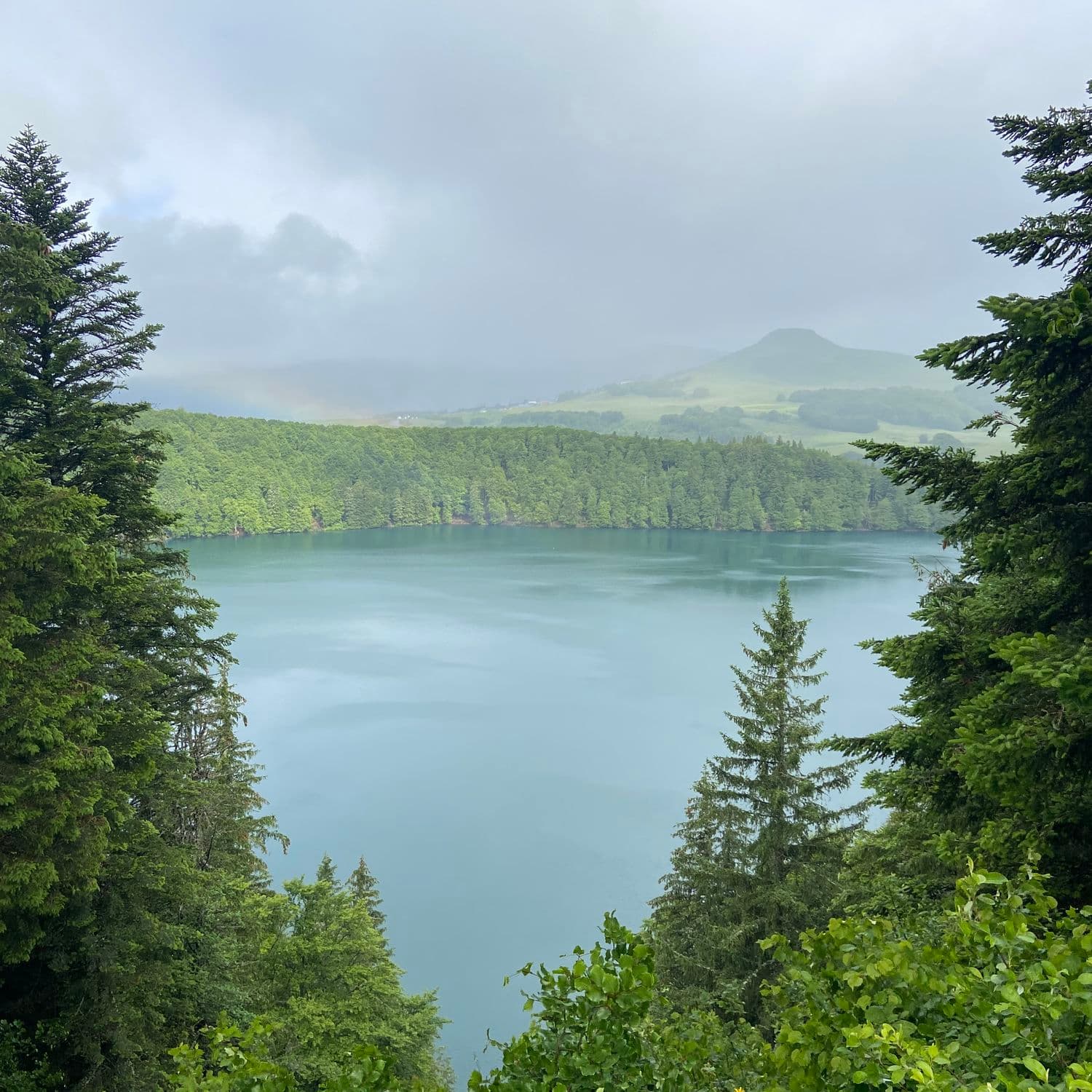
An almost perfect circle of water 800 metres across and 92 metres deep: Auvergne's deepest lake fills a crater born 6,900 years ago, between Besse and Super-Besse. The walk around it takes an hour.
2407 reviews
Besse-et-Saint-Anastaise
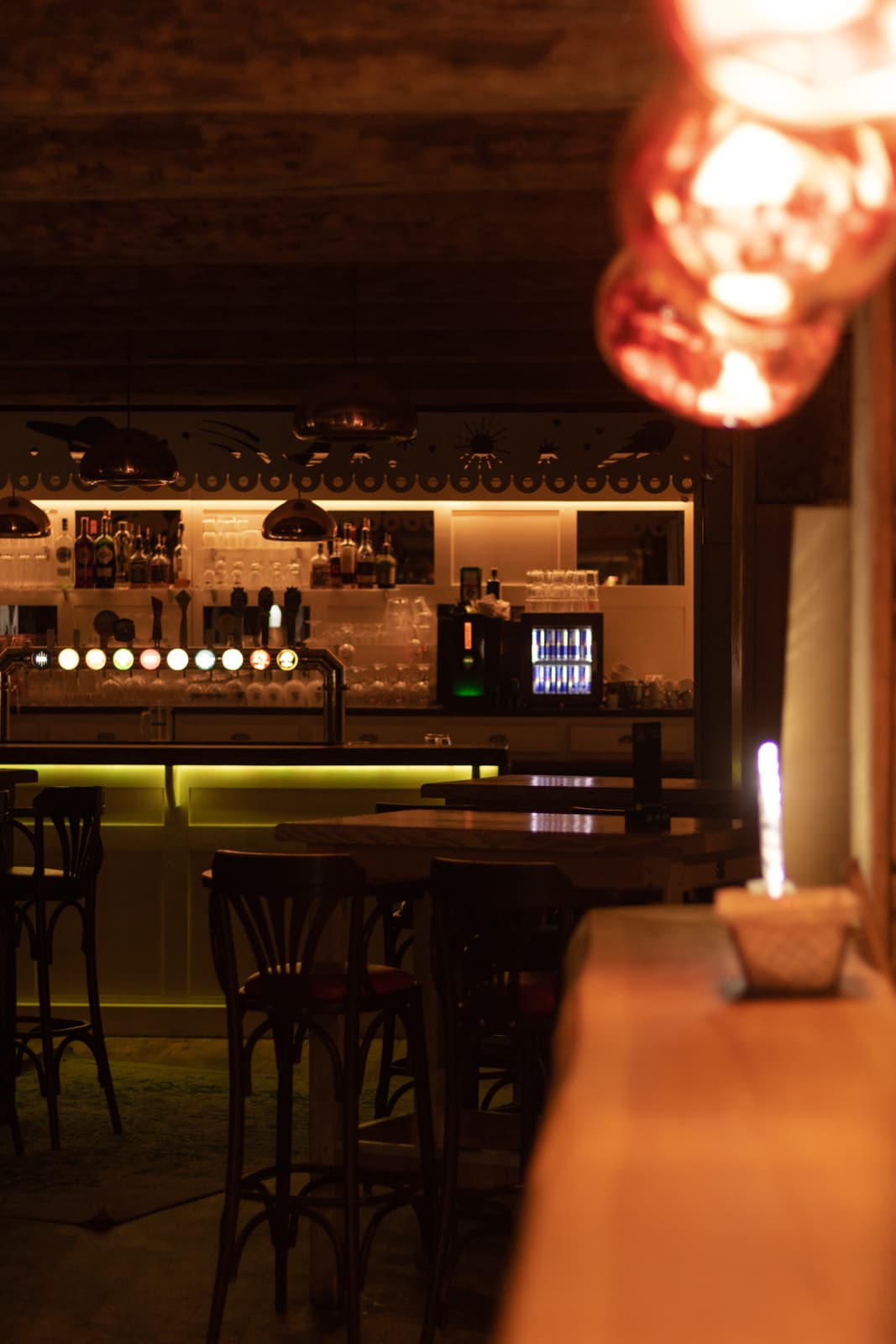
In Super-Besse, a bistro that grills over a wood fire: pork from Maison Pallut in Condat, Angus beef, homemade aligot and truffade. Open all year in 2026.
1875 reviews
Besse-et-Saint-Anastaise
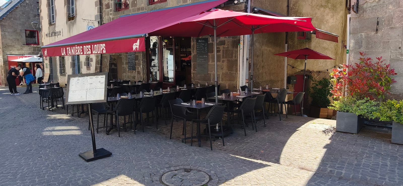
In the heart of Besse, an Auvergne restaurant: Saint-Nectaire fondue, truffade and Sancy produce, by the fireplace or on the terrace.
628 reviews

Besse-et-Saint-Anastaise
Lac Pavin seen from above, from the rim of its crater: the deepest of Auvergne's lakes, 92 m deep. You walk up via a detour off the lake loop.
265 reviews

Besse-et-Saint-Anastaise
The big resort of the Sancy: 32 pistes, a link with Le Mont-Dore and a base area made for families.
4630 reviews

Besse-et-Saint-Anastaise
Waterfall at Besse-et-Saint-Anastaise. Short path, forest atmosphere, open access after a ten-minute walk.
158 reviews

Besse-et-Saint-Anastaise
1 hour 30 there and back from the shore for the view straight down onto Lac Pavin, with the Sancy in the background.
53 reviews

Besse-et-Saint-Anastaise
A glacial lake at 1,168 m, ringed by protected peat bogs. No beach, no crowds: an hour's walk there and back and the silence of the plateau.
139 reviews

Besse-et-Saint-Anastaise
The lake at Super-Besse with supervised swimming in summer, an alternative to Lac Pavin, where swimming is forbidden.
138 reviews

Besse-et-Saint-Anastaise
A string of waterfalls along the Couze Pavin, with giants' kettles carved into the lava, a stone's throw from Besse.
843 reviews

Besse-et-Saint-Anastaise
4-star campsite in Besse, five minutes from Lac Pavin. Heated pool in summer and a wellness area: a good base for exploring the Sancy.
592 reviews

Besse-et-Saint-Anastaise
Holiday residence at the entrance to Super-Besse, 800 m from the centre of the resort. Studios, apartments and duplexes spread across chalets, heated outdoor pool in summer, sauna by reservation.
487 reviews

Besse-et-Saint-Anastaise
Bowling, indoor adventure park, aquatic centre and bar all in one complex at Super-Besse: the all-purpose plan for when the mountain clouds over.
631 reviews

Besse-et-Saint-Anastaise
A medieval town in dark lava stone, more than 1,000 metres up, granted its charter of freedoms in 1270: belfry, cobbled lanes, four listed monuments. And Lac Pavin 10 minutes away.
Location
Hikes
Waymarked routes within 15 km, GPX track included.
On foot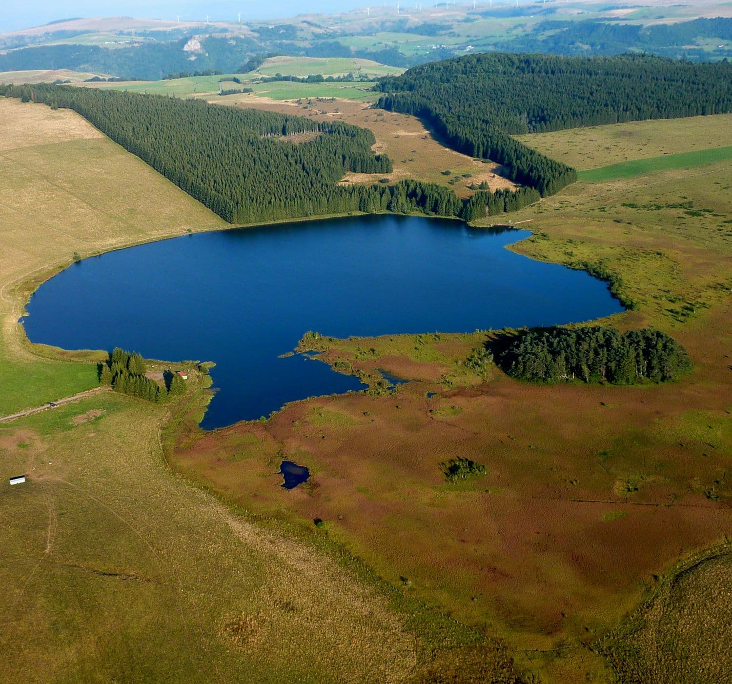 On foot
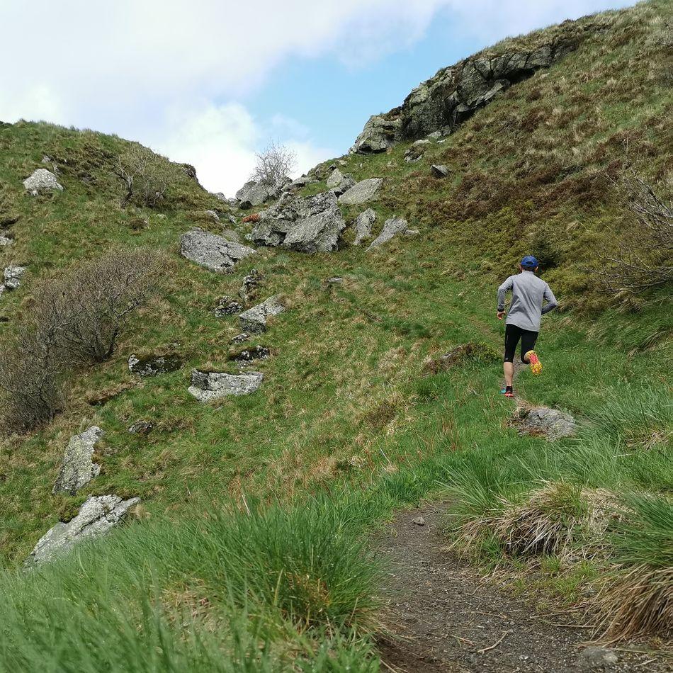 Trail running
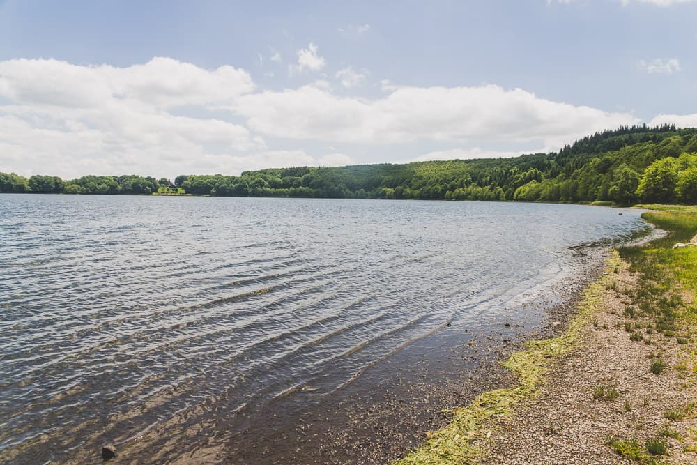 On foot
Menu
Publish a discovery
Your photos, your impressions, or a spot we haven't listed yet.