
Our take
A waterfall set on old lava flows frozen into columns, at the end of an easy loop from the village. The stream is even home to the white-clawed crayfish, a sign of high-quality water.
The Gagne leaps off basalt columns in a cool woodland at Chastreix. An easy 4.6 km loop, waymarked from the village church.
You hear it before you see it. The Gagne, which rises below Mont Redon, tips over a wall of basalt columns and drops about 8 metres into a basin strewn with boulders. These columns of lava, cooled on contact with the water, give the waterfall its geometric silhouette.
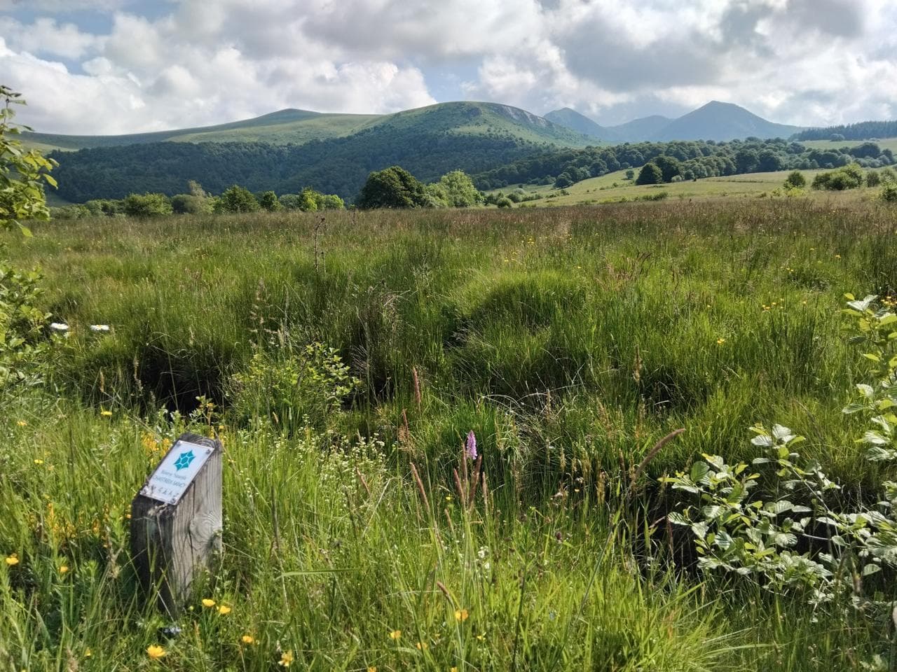
To get there, an easy loop of about 4.6 km starts from the church square in Chastreix (yellow waymarking). Allow 1 hour 30 to 2 hours of walking through meadows, woodland and the hamlet of Le Mont, with views of the Sancy massif and the Fontaine Salée valley.
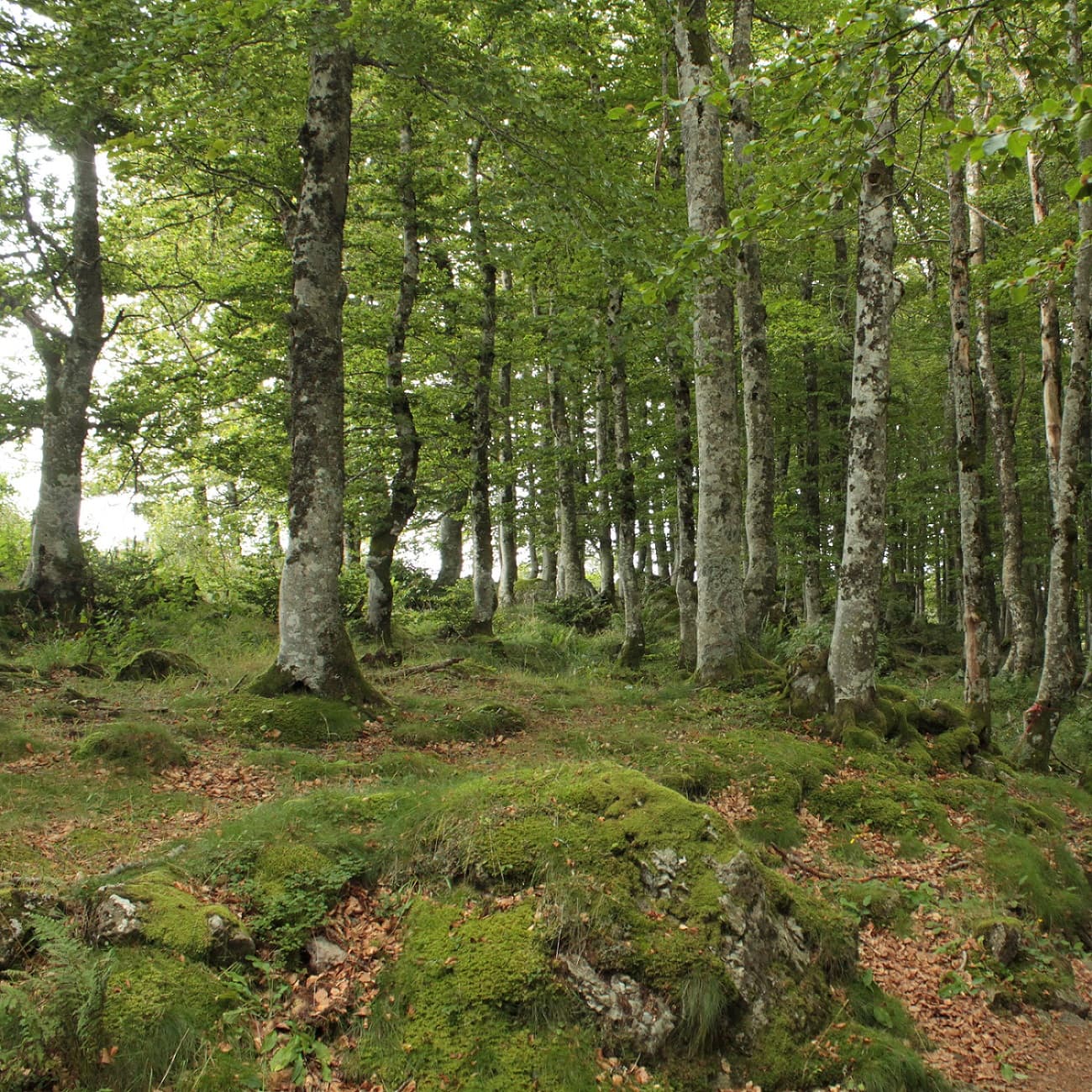
In summer, the woodland stays cool and the spot is good for a picnic. The path is not suitable for pushchairs: bring a baby carrier for the little ones.
Why we love it
- The Gagne tipping about 8 metres over a wall of basalt columns
- The waterfall that you hear before you see it
- Views of the Sancy massif and the Fontaine Salée valley along the way
- The white-clawed crayfish in the stream, a sign of high-quality water
Top tip
Outside summer, keep an eye on the weather: snow or ice can make the path impassable. Regulars take snowshoes or small crampons in the depths of winter.
Before you go
- In summer, for the coolness of the woodland and a picnic in the shade after the walk.
- The loop starts from the church square in Chastreix, yellow waymarking: about 4.6 km and 1 hour 30 to 2 hours of walking.
- The path is not suitable for pushchairs, bring a baby carrier for the little ones.
- In summer, the woodland stays cool: a good picnic spot when it is hot elsewhere.
- Outside summer, check the weather before you set off, snow and ice can make the path impassable.
Weather for the next 3 days
Today
10°/3°
6 mm · 33 km/h
Tomorrow
12°/3°
dry · 10 km/h
Tue 27
17°/11°
0 mm · 20 km/h
Source: Open-Meteo (CC BY 4.0). General lowland forecasts, to be cross-checked with specialist mountain forecasts at altitude.
Practical info
- Address
- GP3R+65, 63680 Chastreix, France
63680 Chastreix
What visitors say
Google rating
Average of 9 reviews on Google Maps.
Community rating
No reader reviews yet: yours gets things started.
Your logbook
Around Cascade des Essarts
2 spots in and around Chastreix, enough to build your day.
Where to eat close by

Where to stay nearby

Chambre et table d'hôtes La Burande
4.9La Tour-d'Auvergne · 3.2 km away

Volcan'Hostel
4.9Picherande · 4.7 km away
 €€€
Cabanes des Volcans
4.4La Tour-d'Auvergne · 5.6 km away
Hikes nearby
Waymarked routes within 15 km, GPX track included.
 On foot
 On foot
From Chastreix village to the glacial valley
Start: Parking à côté de l'église, au centre du bourg
- 18.3 km
- +535 m
- 5 h 30 min
Hikes around Cascade des Essarts
On footOn footFrom Chastreix village to the glacial valley
Start: Parking à côté de l'église, au centre du bourg
- 18.3 km
- +535 m
- 5 h 30 min
 On foot
You might also like
More waterfalls in Puy-de-Dôme and nearby.

Cascade du Crouzet
4.3Mazet-Saint-Voy · Haute-Loire
18 reviews

Cascade de Montfermy
4.6Montfermy · Puy-de-Dôme
231 reviews

Cascade du Bois de Chaux
4.7Égliseneuve-d'Entraigues · Puy-de-Dôme
320 reviews

Cascade de Captat
4.8Malbo · Cantal
58 reviews

Cascade du Creux de l'Oulette
4.2Saillant · Puy-de-Dôme
258 reviews

Cascades de Vaucoux ou d'Anglard
4.7Besse-et-Saint-Anastaise · Puy-de-Dôme
158 reviews