
Our take
One of the most sharply outlined summits of the Sancy: a horn-shaped silhouette, an orientation table at the top, and a 360° panorama that leaves you speechless.
Viewpoint at Murat-le-Quaire, above La Bourboule. Wide panorama, perfect at sunset.
Volcanic summit of more than 1,500 m, above Murat-le-Quaire and La Bourboule. The volcano went cold about 2 million years ago before being planed down by glaciers, and its horn-shaped silhouette can be spotted from afar: “banne” means “horn” in the local dialect.
The path waymarked in yellow starts from the car park of the Murat-le-Quaire lake: a 9 km loop, 3 hours of walking and 464 m of ascent. It passes at the foot of the summit, where a staircase, off the waymarked route, climbs to the orientation table.
At the summit, a 360° view over the Puy de Sancy, the Puy Gros, the Charlannes plateau and the Dordogne valley. Open access all year round, in fine weather.
Why we love it
- The pointed silhouette of the summit, recognisable from afar before you even set off
- The moment the panorama opens onto the Sancy and the Dordogne valley all at once
- The shape of the cone, the remains of a volcano that time has sculpted in its own way
- The evening light that changes everything on the surrounding ridges
Top tip
Sunset at the summit: bring a head torch for the descent. Strong wind almost always, pack a windproof jacket. Avoid it when it is overcast, you would climb up to see nothing.
Before you go
- Wear proper walking shoes, the path becomes slippery in wet weather
- In summer, the sheep and their patou (guard dog) occupy the summer pasture: dogs must be kept on a lead, and walk around the flock
Weather for the next 3 days
Today
7°/1°
5 mm · 44 km/h
Tomorrow
10°/1°
dry · 13 km/h
Tue 27
14°/8°
dry · 33 km/h
Source: Open-Meteo (CC BY 4.0). General lowland forecasts, to be cross-checked with specialist mountain forecasts at altitude.
Practical info
- Address
- 63150 Murat-le-Quaire, France
63150 Murat-le-Quaire
What visitors say
Google rating
Average of 345 reviews on Google Maps.
Community rating
No reader reviews yet: yours gets things started.
Your logbook
Around La Banne d'Ordanche
Enough to build your day around this address.
Where to eat close by
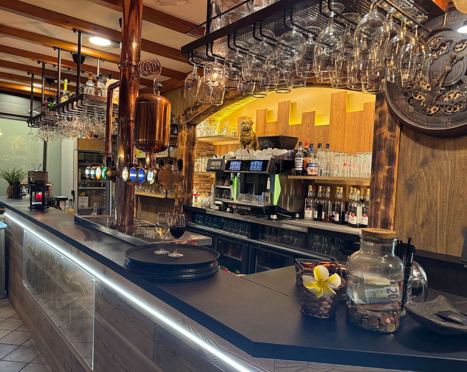
Le Garrison
4.6La Bourboule · 3.4 km away
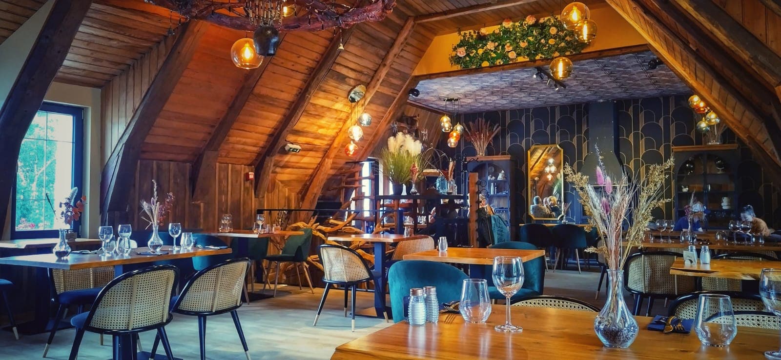
Là-Haut
4.8Le Mont-Dore · 3.6 km away
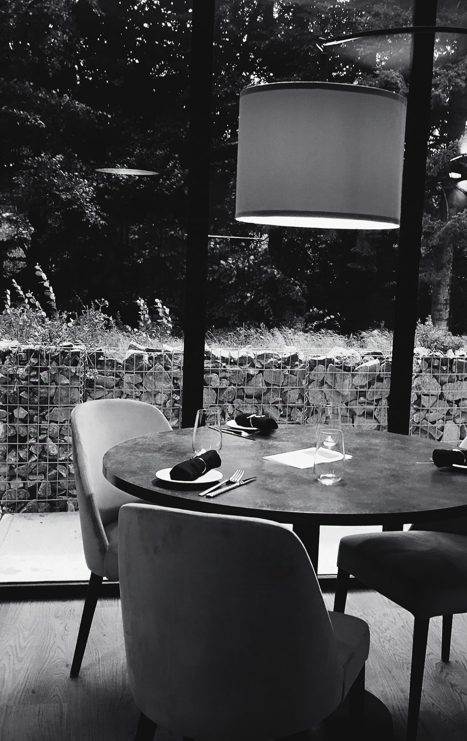 €€€
Les Fées Mères
4.6La Bourboule · 4.3 km away
Where to stay nearby

Gîte de la Tâche
4.7Le Mont-Dore · 4.5 km away

Hôtel Le Castelet
4.6Le Mont-Dore · 4.7 km away
 €€€
Cabanes des Volcans
4.4La Tour-d'Auvergne · 6.6 km away
Hikes nearby
Waymarked routes within 15 km, GPX track included.
 On foot
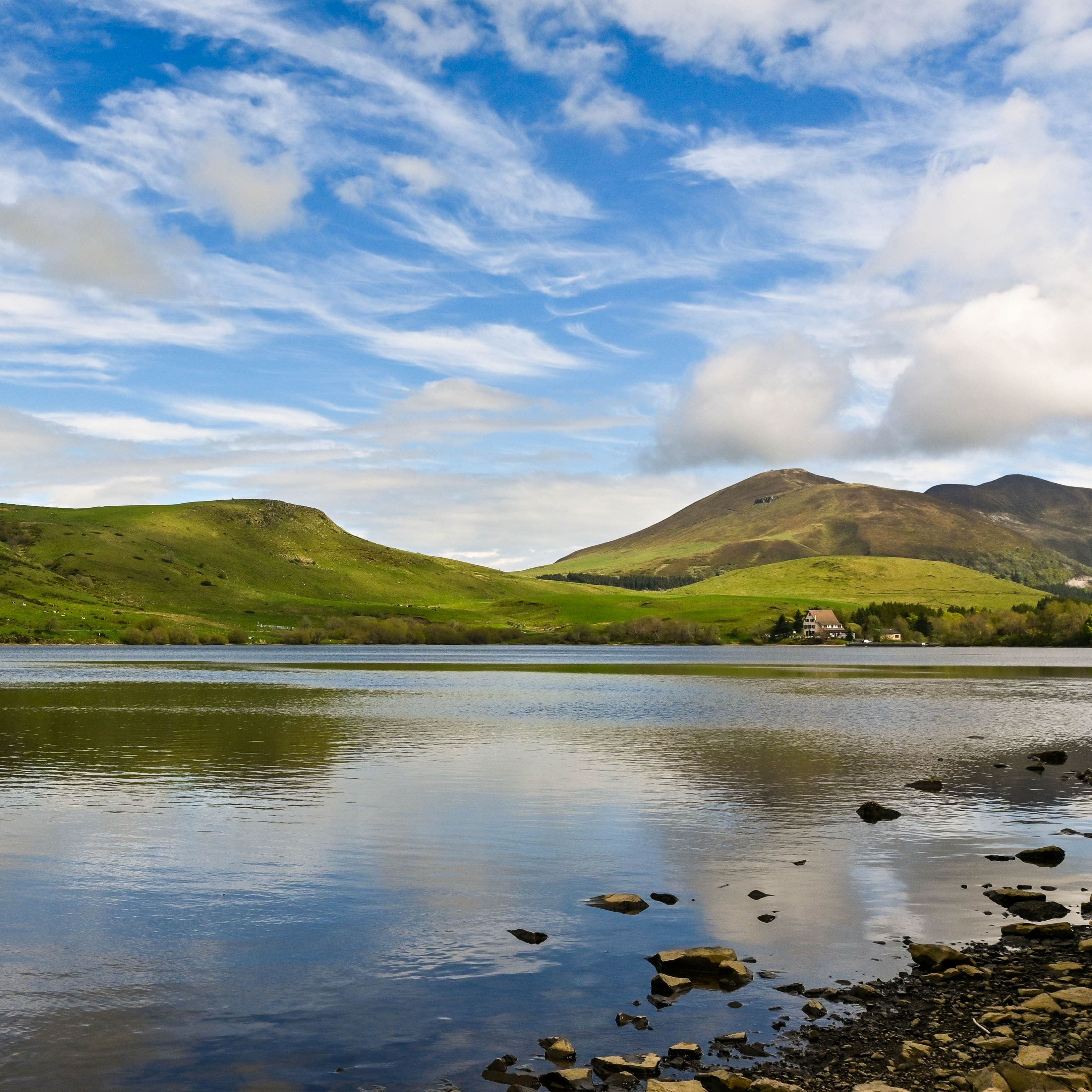
Banne d'Ordanche
Start: Au panneau de randonnée, au bout du parking le long de la route
- 8.5 km
- +488 m
- 3 h
 On foot
Plateau du Guéry via the Puy Loup
Start: Centre Montagnard Cap Guéry, Col de Guéry, 63210 Orcival
- 13.2 km
- +530 m
- 4 h 30 min
Worth a read
Articles and guides that mention this place.

Hikes around La Banne d'Ordanche
On footBanne d'Ordanche
Start: Au panneau de randonnée, au bout du parking le long de la route
- 8.5 km
- +488 m
- 3 h
On footPlateau du Guéry via the Puy Loup
Start: Centre Montagnard Cap Guéry, Col de Guéry, 63210 Orcival
- 13.2 km
- +530 m
- 4 h 30 min
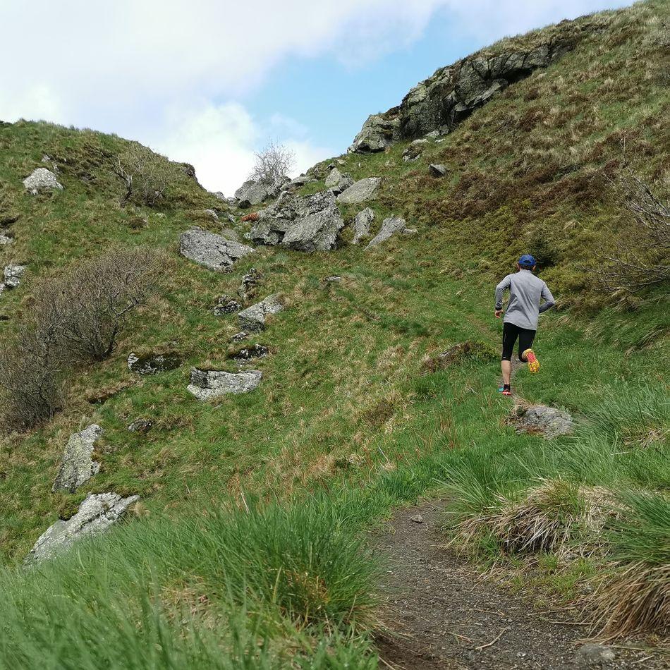 Trail running
You might also like
More viewpoints in Puy-de-Dôme and nearby.

Queuille Meander
4.7Queuille · Puy-de-Dôme
102 reviews

Puy des Goules
4.8Orcines · Puy-de-Dôme
183 reviews

Cascade des Saliens
4.3Nébouzat · Puy-de-Dôme
463 reviews

Gergovie plateau
4.7La Roche-Blanche · Puy-de-Dôme
344 reviews

Puy de l'Angle
4.9Le Mont-Dore · Puy-de-Dôme
59 reviews
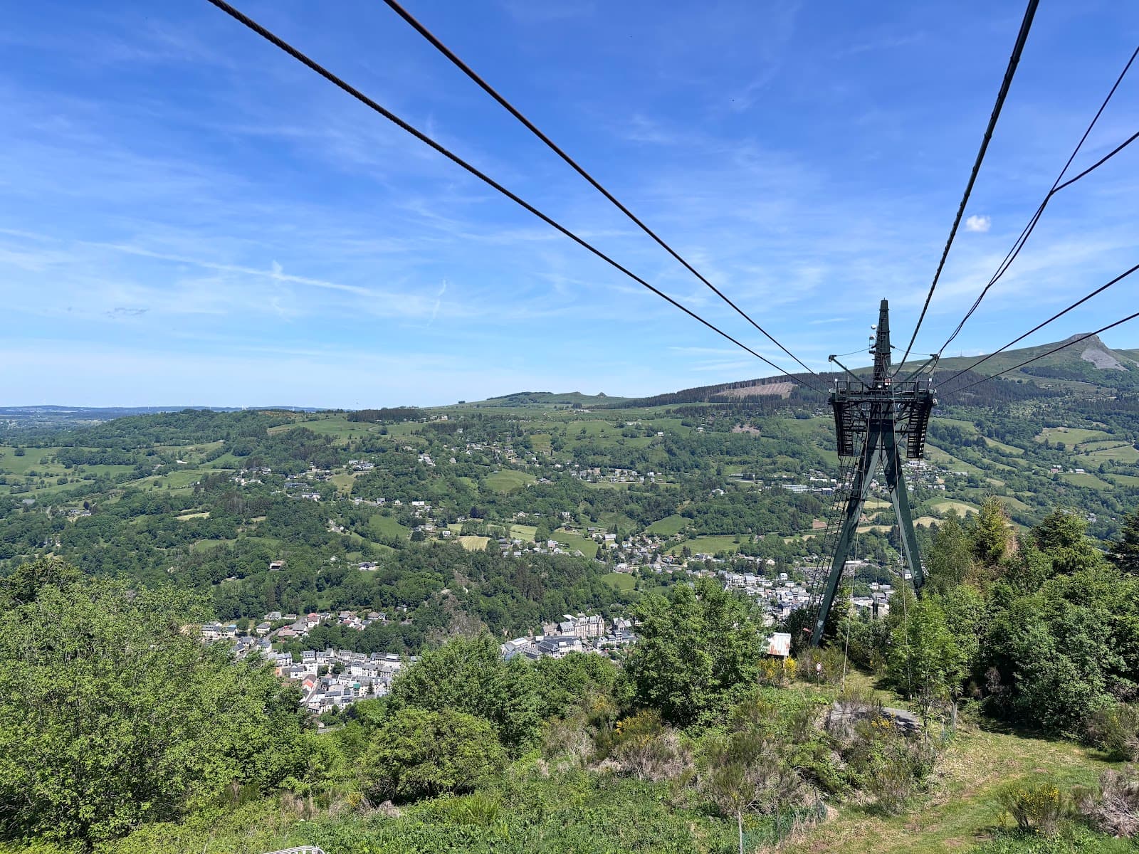
Charlannes plateau
4.3La Bourboule · Puy-de-Dôme
143 reviews