
Our take
A forest balcony you earn on foot from the centre in 1 hour 15, with a century of funicular and gondola lift history underfoot. The view of La Bourboule does the rest.
A forest plateau above La Bourboule: a view over the valley, forest walks, a Nordic area in winter, and the memory of a water-counterweight funicular.
A forest plateau just above the rooftops of La Bourboule. You drive up on the D129, seven kilometres from the town, or walk up from the centre on the Bonsière path: three kilometres, 275 metres of ascent, allow 1 hour 15. Once up there, the reward: a view of La Bourboule and the Dordogne valley, almost flat paths that run off under the trees, and a picnic room (salle hors-sac) where you can eat under cover, open at the same hours as the La Bourboule tourist office.
The place has a past as a resort within the resort. As early as 1902, a water-counterweight funicular hauled the spa guests (curistes) up from the town: each car took on its own water reserve, calculated according to the number of passengers. It stopped in the 1950s. In 1975, a gondola lift running up from the Parc Fenestre took over, before closing in its turn in 2012. A high-altitude golf course even drew the bourgeoisie up to the plateau. Today, you go up by road or on the strength of your calves, and that is just fine.
In summer, the plateau lends itself to family walks, with a woodland circuit that can be done with an all-terrain pushchair, and to mountain biking. In winter, it becomes a Nordic area: cross-country skiing, snowshoeing and sledging, with runs from green to black, including an 8.5-kilometre loop for regulars. There is a charge for the cross-country ski runs when the snow is there; when snow cover is not enough, the runs stay waymarked and may be accessible free of charge.
Why we love it
- View looking down over La Bourboule and its valley
- Walk up by the Bonsière path: 3 km, 275 m of elevation gain, 1 hour 15
- Nordic area in winter: cross-country skiing, snowshoeing and sledging
- A water-counterweight funicular went up here as early as 1902
Top tip
Go up at the end of the day: the sunset over the valley is the real event on the plateau. Bring good shoes and a warm layer, even in summer, and something to keep the rain off.
Before you go
- Good walking shoes, a warm, waterproof layer, water and sun protection.
- Open access. In winter, there is a charge for the Nordic area runs when snow cover allows.
- A route that can be done in summer with an all-terrain pushchair on the plateau, sledging in winter.
- Allowed on a lead.
- By car on the D129 (7 km from La Bourboule). On foot by the Bonsière path from the centre: 3 km, 275 m of elevation gain, about 1 hour 15.
- On foot, the Bonsière path starts from the centre: allow 1 hour 15 for a 275 m climb. Coming back down by the chemin des Investisons is not recommended.
Weather for the next 3 days
Today
9°/3°
6 mm · 30 km/h
Tomorrow
13°/2°
dry · 12 km/h
Tue 27
16°/10°
0 mm · 20 km/h
Source: Open-Meteo (CC BY 4.0). General lowland forecasts, to be cross-checked with specialist mountain forecasts at altitude.
Practical info
- Address
- 63150 La Bourboule, France
63150 La Bourboule
What visitors say
Google rating
Average of 143 reviews on Google Maps.
Community rating
No reader reviews yet: yours gets things started.
It's for you if
- You want a view of La Bourboule that you have to earn: 1 hour 15 of climbing from the centre
- You are after flat forest walks once you are up there, all-terrain pushchair included
- You cross-country ski or your children are demanding to go sledging: in winter, the plateau becomes a Nordic area
Give it a miss if
- You are expecting lifts: the funicular and the gondola lift are closed, so you go up by road or on foot
- You want tough climbing once at the top: the plateau, as its name suggests, stays flat
Your logbook
Around Charlannes plateau
8 spots in and around La Bourboule, enough to build your day.
Where to eat close by
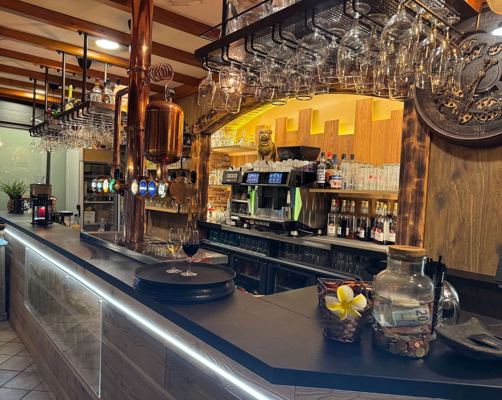
Le Garrison
4.6La Bourboule · 1.3 km away
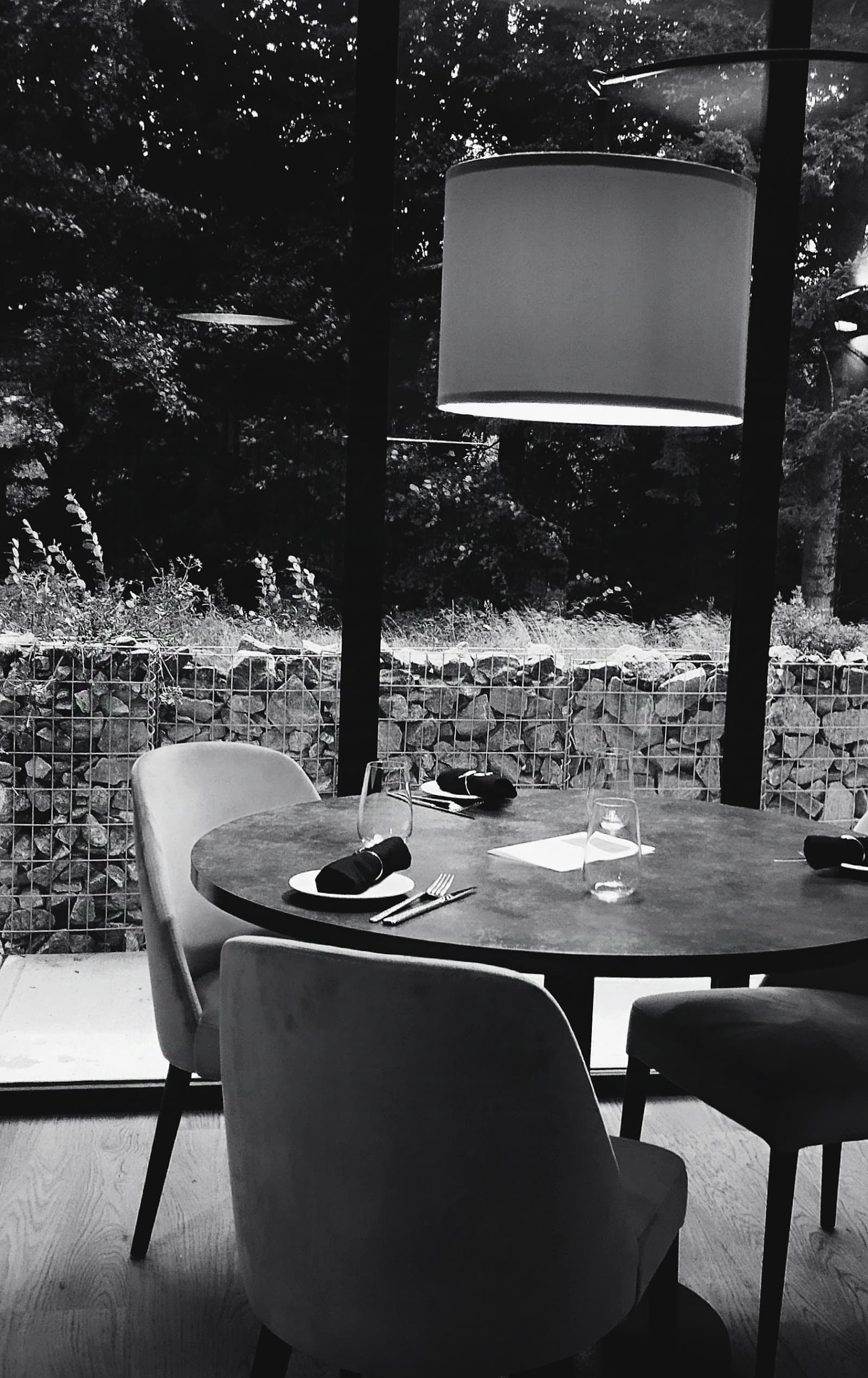 €€€
Les Fées Mères
4.6La Bourboule · 1.7 km away
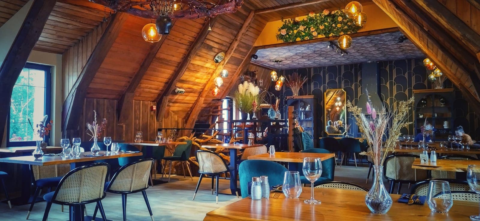
Là-Haut
4.8Le Mont-Dore · 4.1 km away
Where to stay nearby
 €€€
Cabanes des Volcans
4.4La Tour-d'Auvergne · 2.7 km away

Chambre et table d'hôtes La Burande
4.9La Tour-d'Auvergne · 5.3 km away

Hôtel Le Castelet
4.6Le Mont-Dore · 5.8 km away
Hikes nearby
Waymarked routes within 15 km, GPX track included.
 On foot
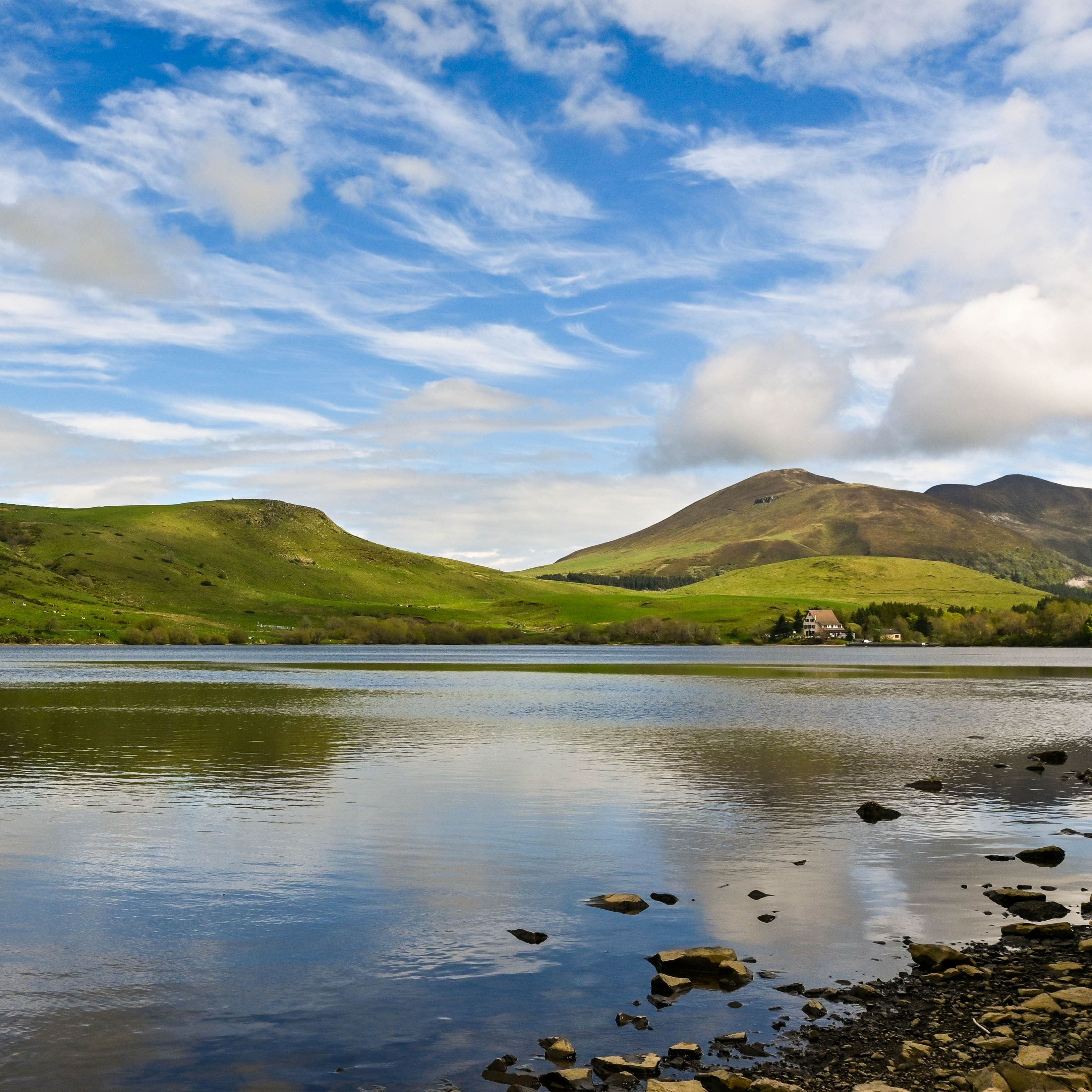
Banne d'Ordanche
Start: Au panneau de randonnée, au bout du parking le long de la route
- 8.5 km
- +488 m
- 3 h
 On foot
Plateau du Guéry via the Puy Loup
Start: Centre Montagnard Cap Guéry, Col de Guéry, 63210 Orcival
- 13.2 km
- +530 m
- 4 h 30 min
Worth a read
Articles and guides that mention this place.
Hikes around Charlannes plateau
On footBanne d'Ordanche
Start: Au panneau de randonnée, au bout du parking le long de la route
- 8.5 km
- +488 m
- 3 h
On footPlateau du Guéry via the Puy Loup
Start: Centre Montagnard Cap Guéry, Col de Guéry, 63210 Orcival
- 13.2 km
- +530 m
- 4 h 30 min
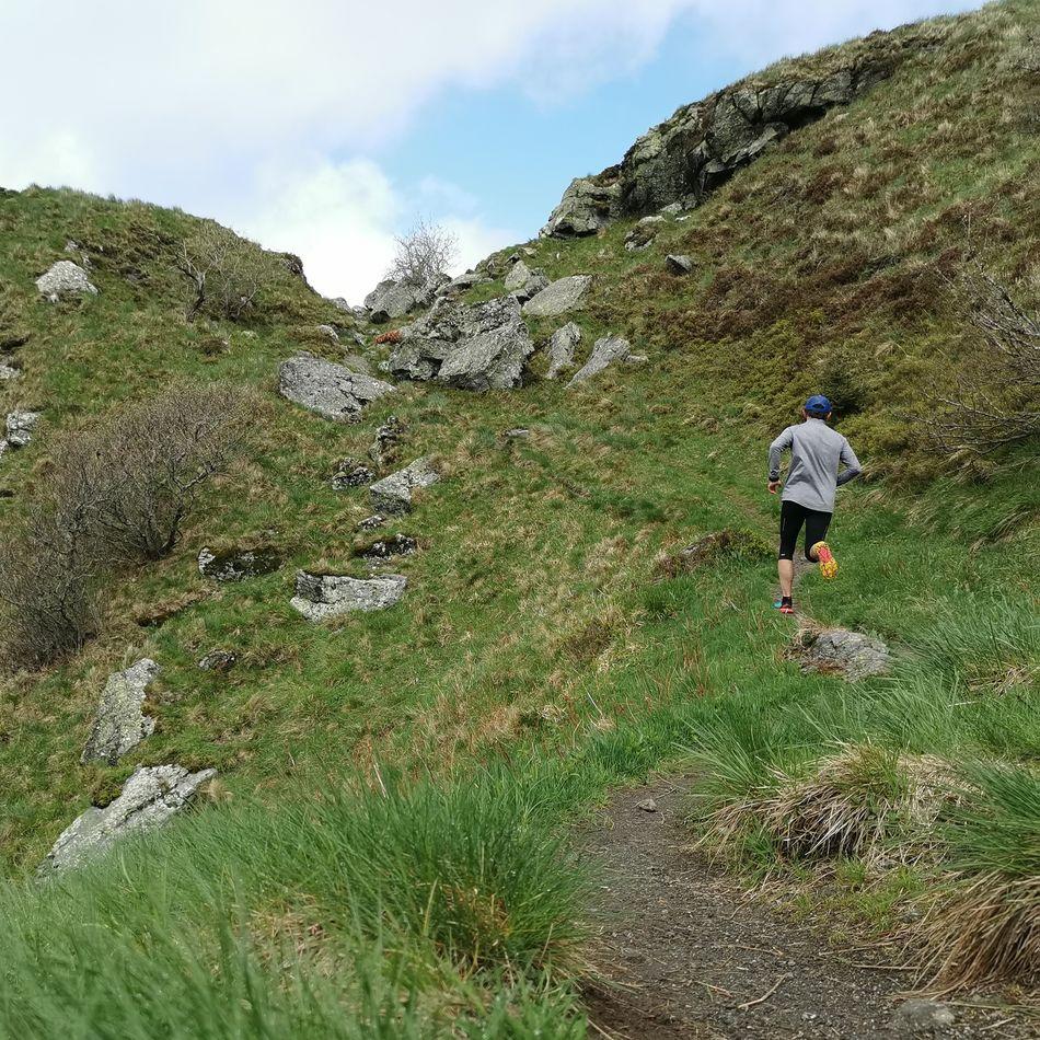 Trail running
You might also like
More viewpoints in Puy-de-Dôme and nearby.

Queuille Meander
4.7Queuille · Puy-de-Dôme
102 reviews

Cascade du Bois de Chaux
4.7Égliseneuve-d'Entraigues · Puy-de-Dôme
320 reviews
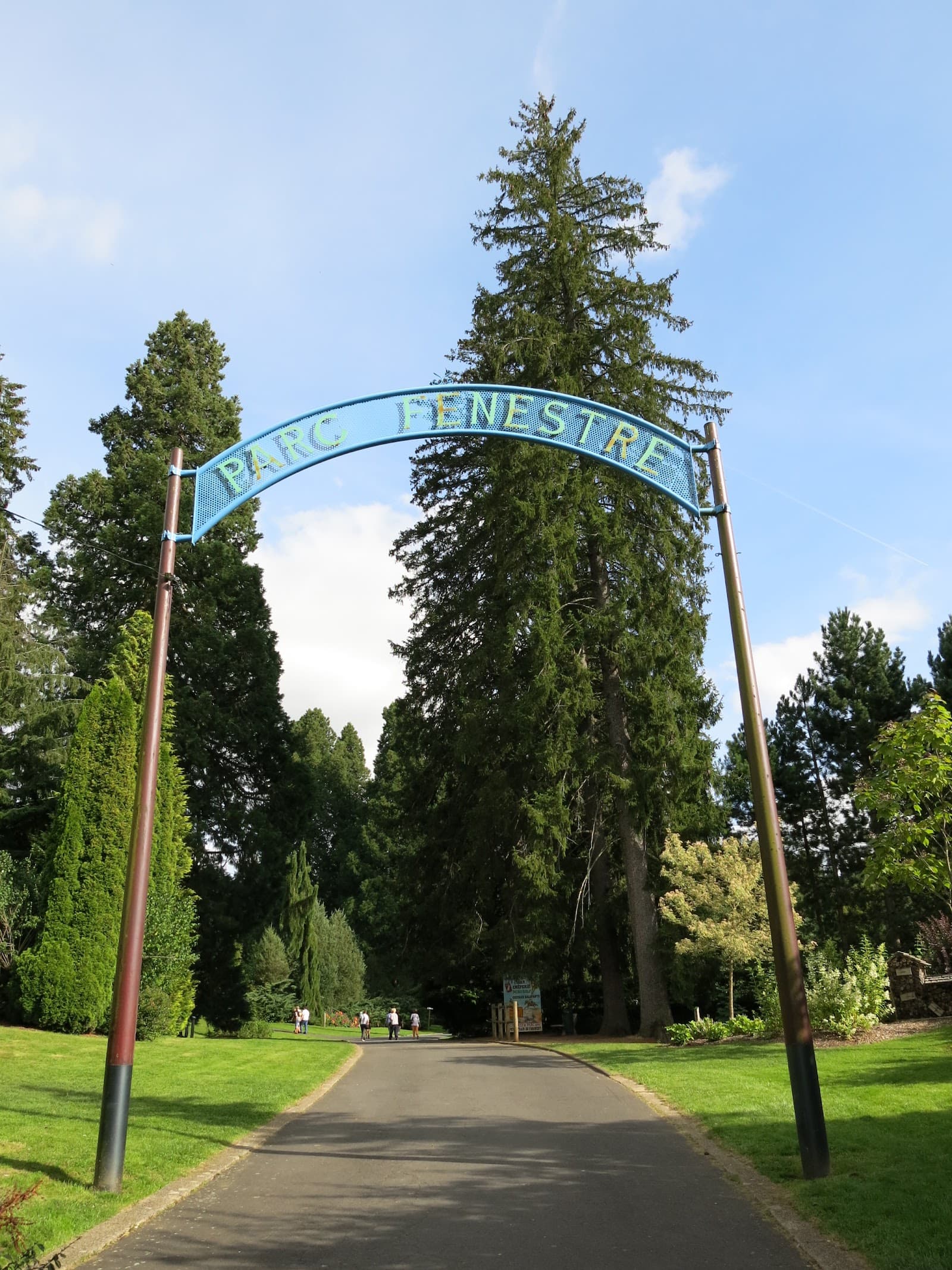
Parc Fenestre
4.6La Bourboule · Puy-de-Dôme
4423 reviews

Puy de la Tache
4.7Le Mont-Dore · Puy-de-Dôme
46 reviews

Cézallier
4.9Anzat-le-Luguet · Puy-de-Dôme
43 reviews

Gergovie plateau
4.7La Roche-Blanche · Puy-de-Dôme
344 reviews