
Our take
One of the most well-rounded summits in the Sancy: 1,738 m, 360° view, 2 hours there and back from the Col de la Croix-Morand.
1,738 m and a final ridge facing the Sancy.
A summit of the Sancy massif at 1,738 m altitude, in the communes of Le Mont-Dore and Chambon-sur-Lac. One of the finest viewpoints in the Sancy, with a 360° view of the Puy de Sancy, the Banne d'Ordanche, Lac Chambon and the Chaîne des Puys. Access by the GR 4, from the Col de la Croix Saint-Robert, south of the summit, or from the Col de la Croix-Morand along the ridge of the puys de la Tache, de Monne and de Barbier: in that case, allow 2 hours there and back. The path follows the ridge at the end. Path open all year, except when there is snow.
Why we love it
- The Sancy, the Monts du Cantal, the Chaîne des Puys and the Lac de Guéry and Lac Chambon in the same panorama
- The route along volcanic ridges, sometimes whittled very thin by glacial erosion
Top tip
Sunrise at the summit: bring a head torch for the climb. The wind is often strong: a windproof jacket is essential.
Before you go
- Early in the morning, when the low light outlines the volcanic relief.
- Car park and public toilets at the Col de la Croix-Morand.
- A windproof jacket is essential even in fine weather; a head torch if you are aiming for sunrise.
- Bring walking shoes, warm clothes, water and sun protection
- Hiking is not advised in stormy weather or as soon as there is snow: check the forecast before you set off
Weather for the next 3 days
Today
6°/0°
5 mm · 49 km/h
Tomorrow
9°/1°
dry · 22 km/h
Tue 27
13°/7°
0 mm · 34 km/h
Source: Open-Meteo (CC BY 4.0). General lowland forecasts, to be cross-checked with specialist mountain forecasts at altitude.
Practical info
- Address
- Puy de l'Angle, 63790 Mont-Dore, France
63790 Le Mont-Dore
What visitors say
Google rating
Average of 59 reviews on Google Maps.
Community rating
No reader reviews yet: yours gets things started.
It's for you if
- You want a 360° view of the massif
- You are happy to walk 2 hours there and back for a panorama
- You like sunrises on a ridge
Give it a miss if
- You want a viewpoint you can reach by car: here, it's uphill
- You dislike wind: the final ridge is very exposed
Your logbook
Around Puy de l'Angle
24 spots in and around Le Mont-Dore, enough to build your day.
Where to eat close by
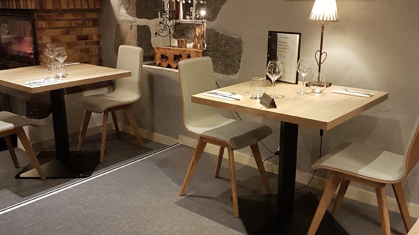
Auberge de la Golmotte
4.7Le Mont-Dore · 1.9 km away
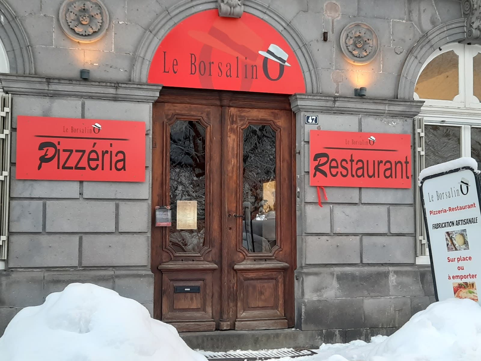
Le Borsalino
4.6Le Mont-Dore · 2.3 km away
 €€
La Table de l'Ours
4.4Le Mont-Dore · 3.7 km away
Where to stay nearby

Hôtel Le Castelet
4.6Le Mont-Dore · 2.4 km away

Gîte de la Tâche
4.7Le Mont-Dore · 3.0 km away

Les Chalets du Sancy
4.5Chambon-sur-Lac · 3.8 km away
Hikes nearby
Waymarked routes within 15 km, GPX track included.
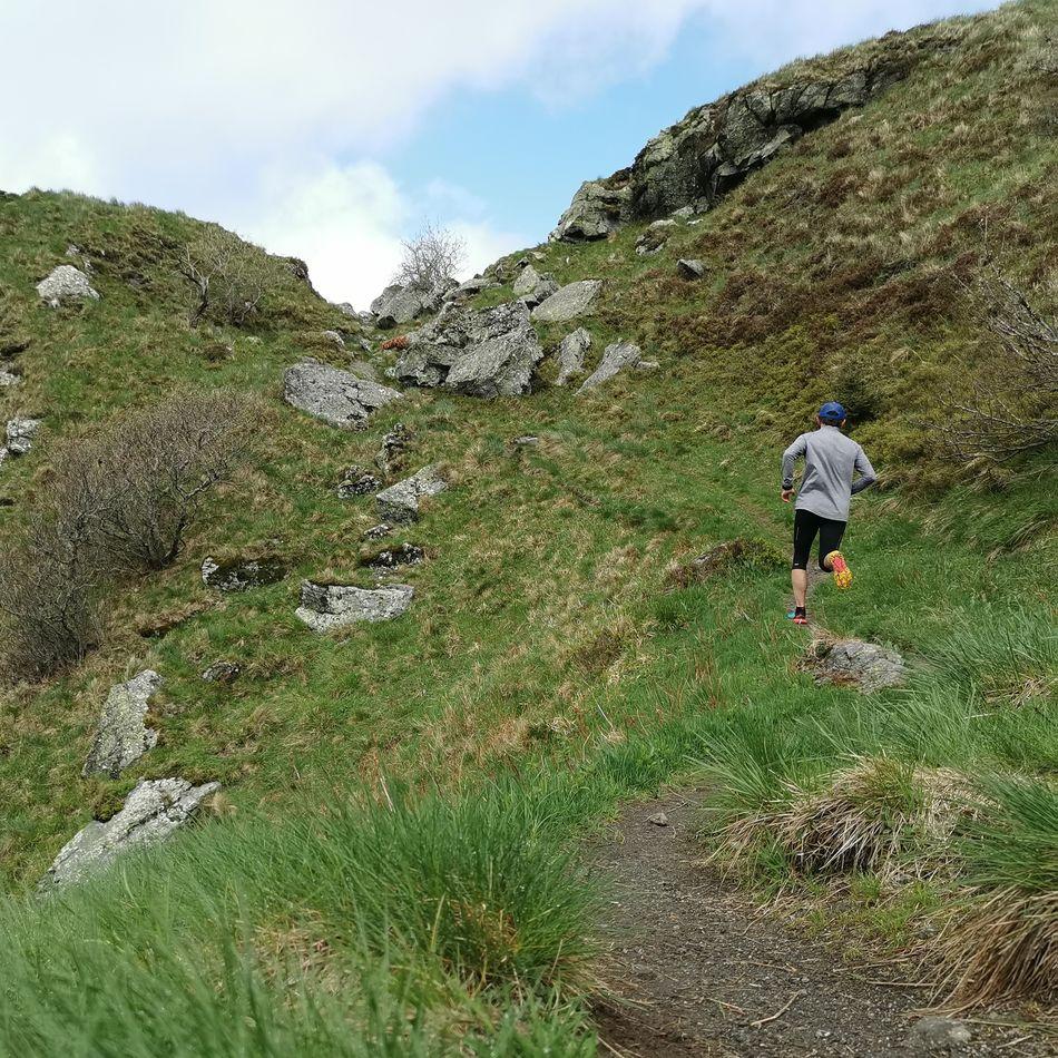 Trail running
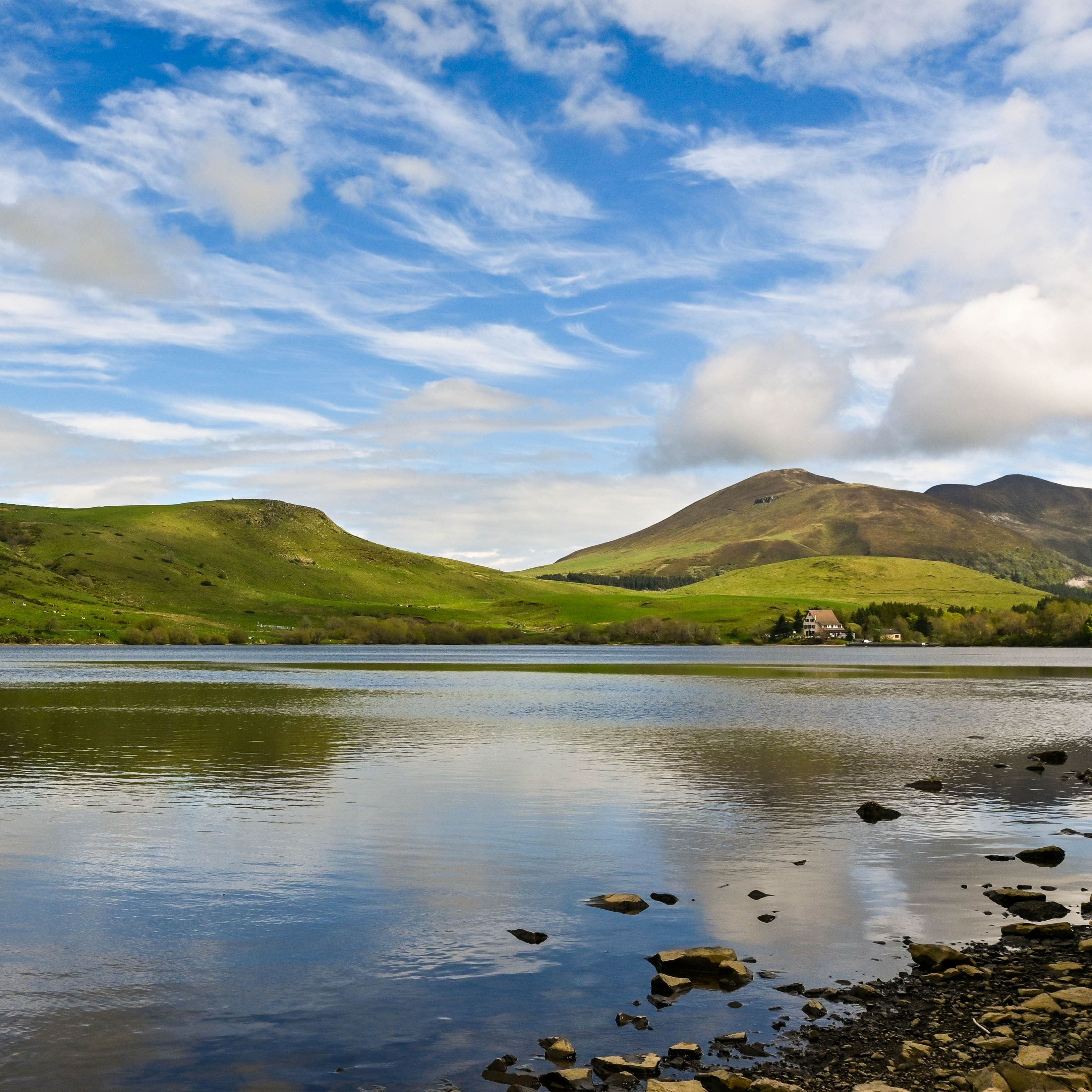 On foot
Plateau du Guéry via the Puy Loup
Start: Centre Montagnard Cap Guéry, Col de Guéry, 63210 Orcival
- 13.2 km
- +530 m
- 4 h 30 min
Worth a read
Articles and guides that mention this place.

Hikes around Puy de l'Angle
Trail runningOn footPlateau du Guéry via the Puy Loup
Start: Centre Montagnard Cap Guéry, Col de Guéry, 63210 Orcival
- 13.2 km
- +530 m
- 4 h 30 min
 On foot
Banne d'Ordanche
Start: Au panneau de randonnée, au bout du parking le long de la route
- 8.5 km
- +488 m
- 3 h
You might also like
More volcanoes in Puy-de-Dôme and nearby.

Puy de Côme
4.6Ceyssat · Puy-de-Dôme
89 reviews

Puy de Sancy
4.8Le Mont-Dore · Puy-de-Dôme
2375 reviews

Puy de la Vache
4.7Saint-Genès-Champanelle · Puy-de-Dôme
340 reviews

Puy de Montchal
4.6Besse-et-Saint-Anastaise · Puy-de-Dôme
53 reviews

Puy de Dôme
4.7Orcines · Puy-de-Dôme
2099 reviews

Puy des Goules
4.8Orcines · Puy-de-Dôme
183 reviews