
Our take
Three falls a few metres from one another, where the Gigeole forces its way through the Olby flow, for twenty minutes' walk there and back. A short walk that takes you somewhere different, right by the village of Nébouzat.
At Nébouzat, the Gigeole forces its way through an old lava flow and breaks into three falls. Twenty minutes' walk there and back.
We are in Nébouzat, and here the water doesn't hold back: the Gigeole, a tributary of the Sioule, runs into the old Olby lava flow, forces its way through and breaks into three distinct falls, a few metres from one another.
From the village of Les Saliens (along the RD2089, after the roundabout) or from the Camping des Dômes, allow about twenty minutes' walk there and back. The first fall, upstream, is the most modest; the second can be seen from a small promontory. To enjoy the third, it gets a bit harder: you have to walk further, with good boots or shoes with a good tread.
Why we love it
- Three distinct falls, a few metres from one another
- The second fall, which you watch from a small promontory
- The walls covered in vegetation around the falls
- The old Olby lava flow, which the Gigeole runs down
Top tip
Two possible starting points: the village of Les Saliens (RD2089, after the roundabout) or the Camping des Dômes. To enjoy the third fall, bring good boots or shoes with a good tread.
Before you go
- In spring, or after good rain, when the Gigeole is flowing well.
- Two starts to choose from, the village of Les Saliens on the RD2089 or the Camping des Dômes, for about twenty minutes' walk there and back.
- The approach to the third fall gets harder: you have to walk a bit further, with good boots or shoes with a good tread. No flip-flops.
Weather for the next 3 days
Today
12°/5°
1 mm · 33 km/h
Tomorrow
14°/3°
dry · 12 km/h
Tue 27
19°/11°
dry · 17 km/h
Source: Open-Meteo (CC BY 4.0). General lowland forecasts, to be cross-checked with specialist mountain forecasts at altitude.
Practical info
- Address
- 63210 Nébouzat, France
63210 Nébouzat
What visitors say
Google rating
Average of 463 reviews on Google Maps.
Community rating
No reader reviews yet: yours gets things started.
Your logbook
Around Cascade des Saliens
2 spots in and around Nébouzat, enough to build your day.
Where to eat close by

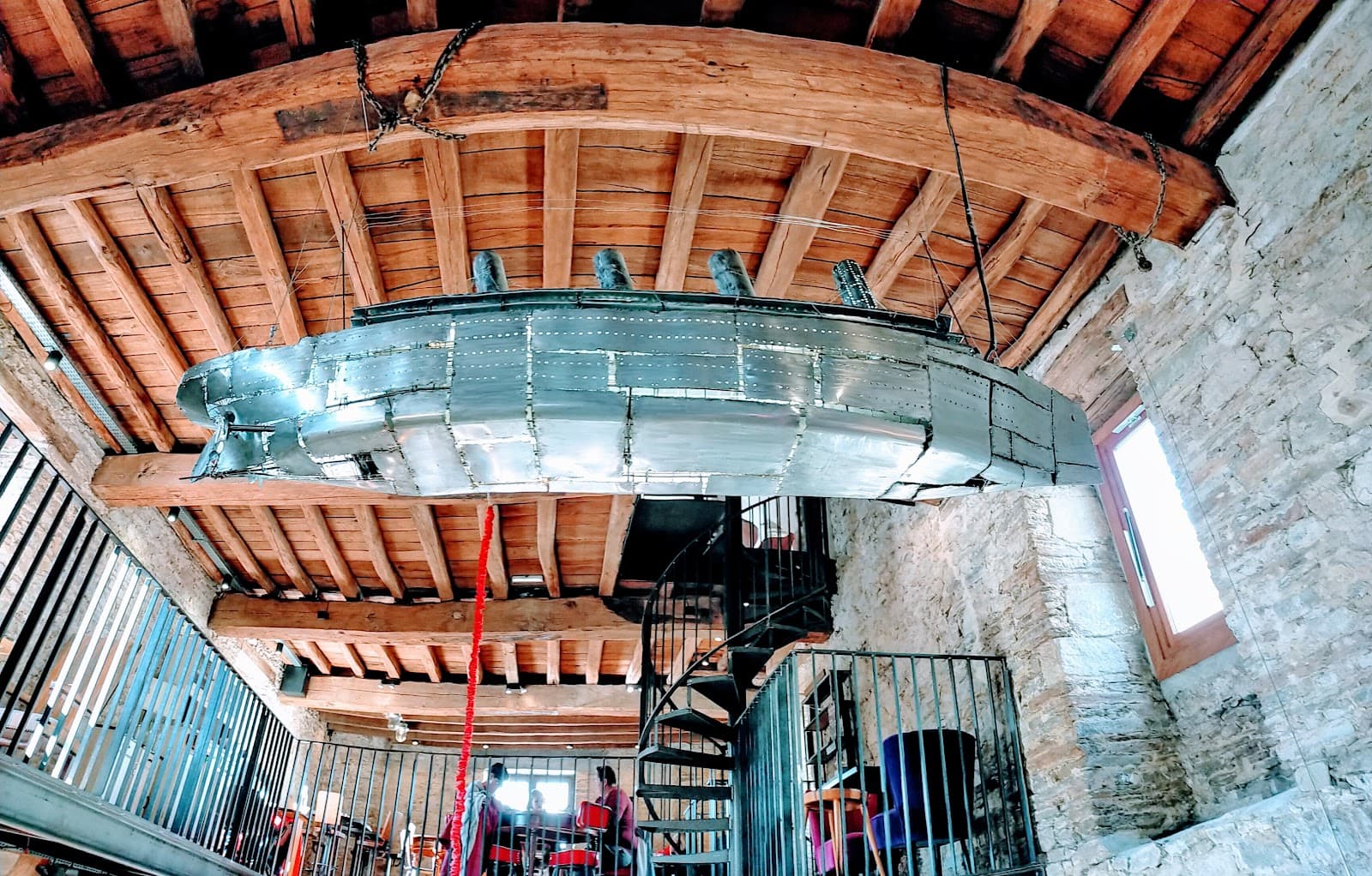
Where to stay nearby
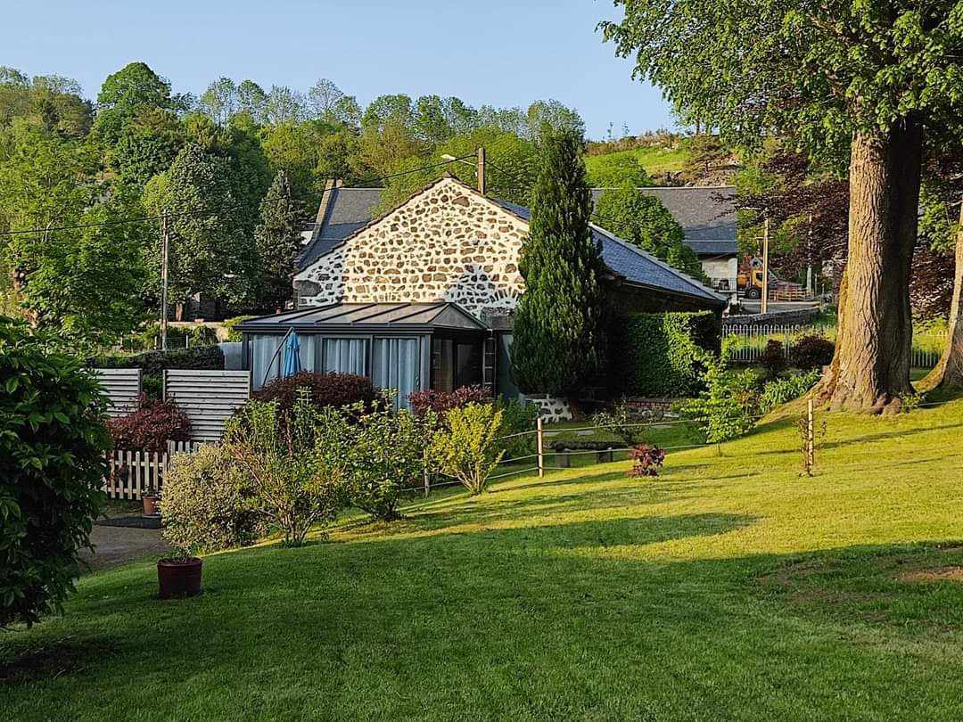
Les Gîtes de Recoleine
4.9Nébouzat · 2.9 km away
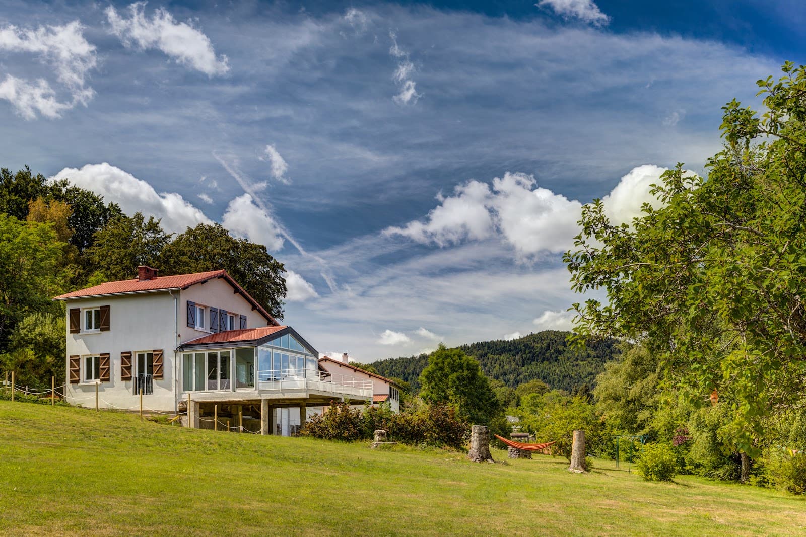
Ô Balcons des Volcans
5.0Saint-Genès-Champanelle · 6.1 km away
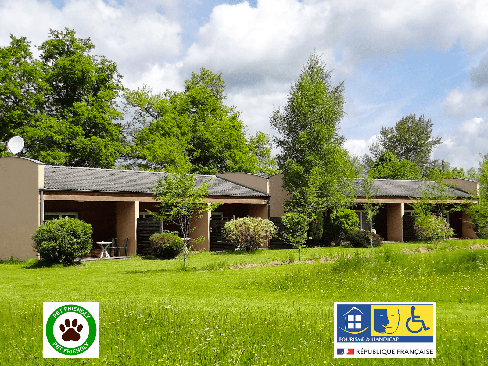 €€
Les Gîtes des Cinq Chemins
4.8Mazaye · 6.9 km away
Hikes nearby
Waymarked routes within 15 km, GPX track included.
 On foot
 On foot
From Pont des Eaux to Mazayes (stage 2 of the Dômes loop)
Start: Pont des Eaux
- 10.6 km
- +160 m
- 3 h 30 min
Hikes around Cascade des Saliens
On footOn footFrom Pont des Eaux to Mazayes (stage 2 of the Dômes loop)
Start: Pont des Eaux
- 10.6 km
- +160 m
- 3 h 30 min
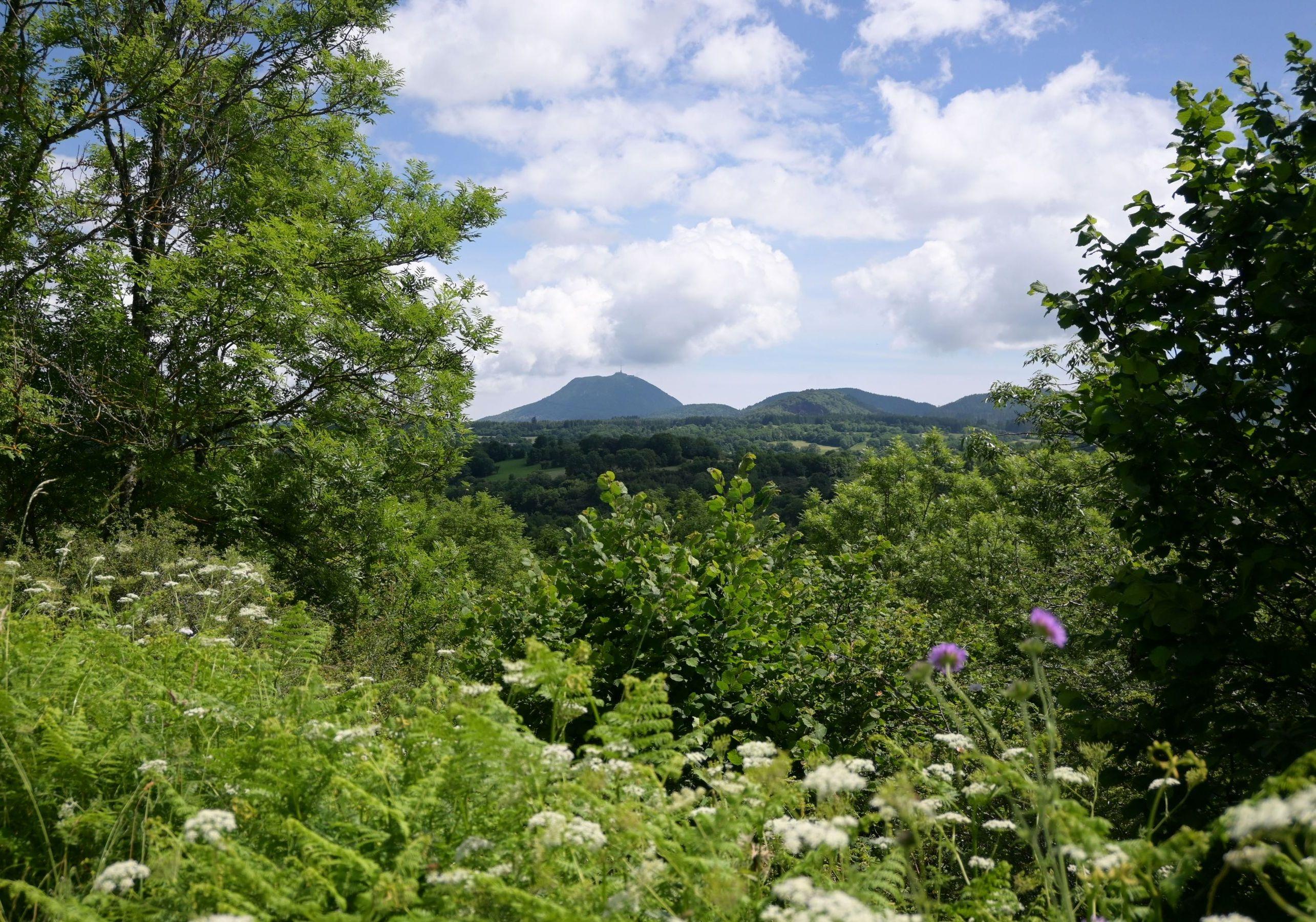 On foot
You might also like
More waterfalls in Puy-de-Dôme and nearby.
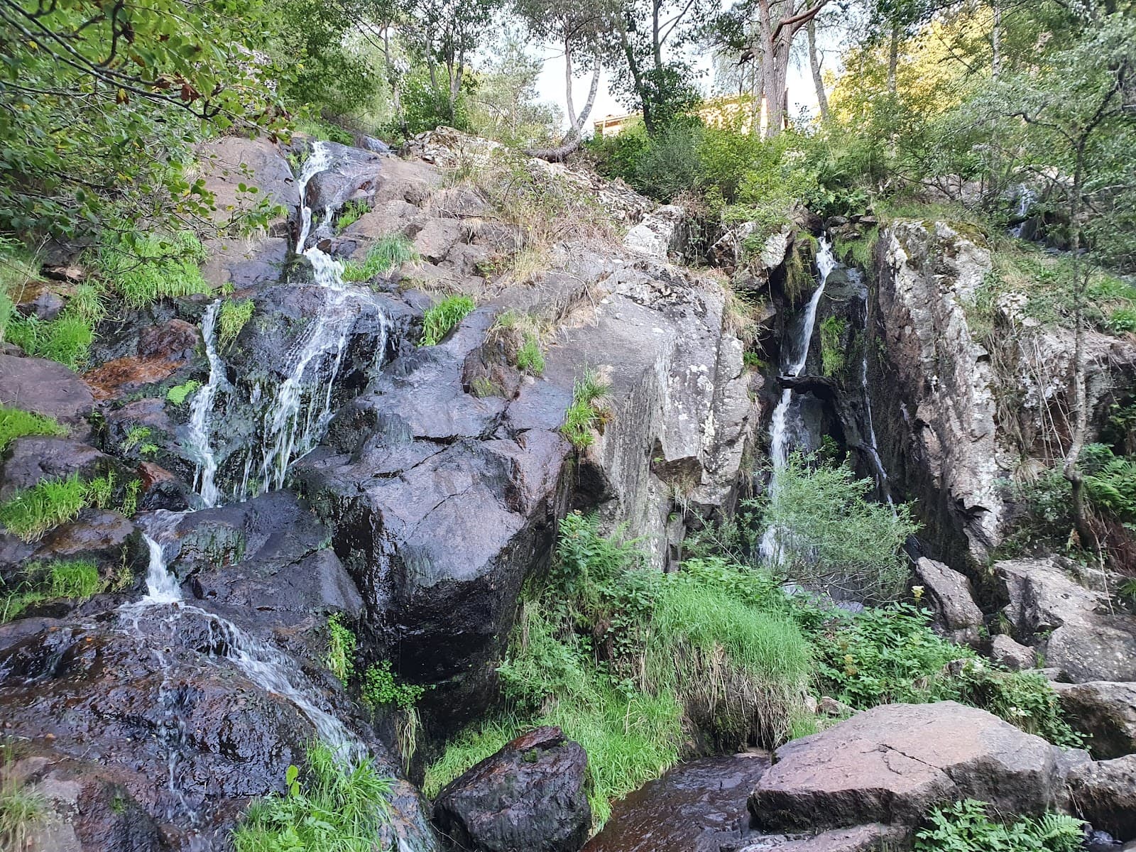
Cascade du Creux de l'Oulette
4.2Saillant · Puy-de-Dôme
258 reviews
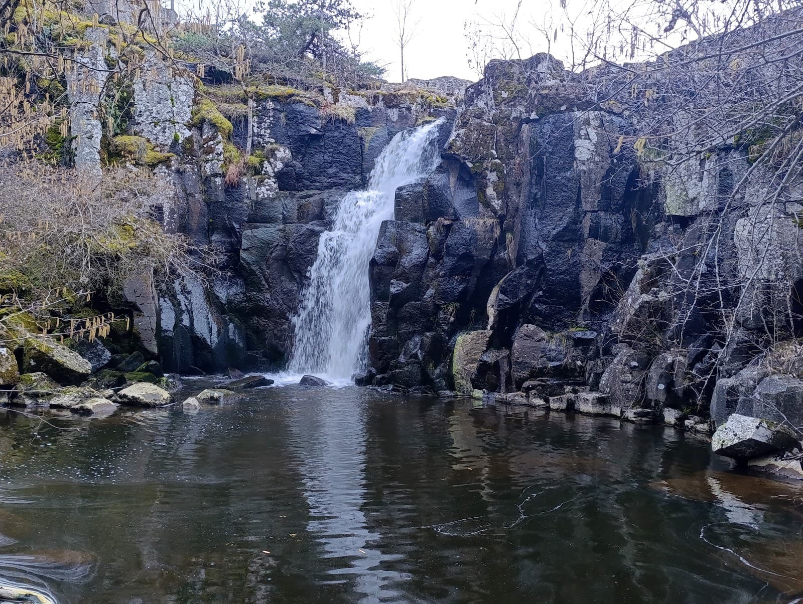
Cascade du Crouzet
4.3Mazet-Saint-Voy · Haute-Loire
18 reviews
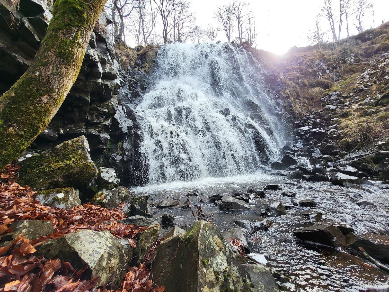
Cascade des Essarts
4.2Chastreix · Puy-de-Dôme
9 reviews
Cascade de la Barthe
4.7Picherande · Puy-de-Dôme
196 reviews
Cascade de Salins
4.6Salins · Cantal
715 reviews
Cascade de Souteyros
4.3Saint-Front · Haute-Loire
136 reviews