
Our take
A summit at 1,629 m reachable in 1 hour 30 there and back, with a 360° view over the whole Sancy. Ideal for discovering the Sancy without climbing the Sancy.
An Auvergne volcano at Le Mont-Dore. Summit at 1,632 m, a 219 m climb from the Col de la Croix-Morand: the view opens out over the whole Sancy.
A summit of the Sancy massif at 1,629 m altitude, in the commune of Le Mont-Dore. A 360° view over the Sancy, the Puy de l'Angle and the Mont-Dore valley. The classic access is from the Col de la Croix-Morand on the GR 4: allow 1 hour to 1 hour 30 there and back for 219 m of elevation gain, with a fairly steep climb in places and glimpses of the Lac de Guéry. The path follows the ridge at the end. You can push on along the ridge to the puy de l'Angle, via the puys de Monne and de Barbier: 2 hours there and back from the col. Route open from 1 April to 31 October in 2026; dogs not allowed.
Why we love it
- The climb, steep in places, with glimpses of the Lac de Guéry
- The 360° panorama over the whole Sancy from the summit
Top tip
Classic start from the Col de la Croix-Morand (free car park). Push on to the puy de l'Angle along the ridge: 2 hours there and back from the col. Strong wind at the summit, bring a windproof jacket. In summer, sunrise is ideal.
Before you go
- The hour before sunset; in summer, sunrise is worth waking up for.
- Free car park at the Col de la Croix-Morand, with public toilets.
- Walking boots and a windproof jacket: the terrain turns treacherous after rain.
- Bring walking boots: the hike is rated difficult, with a steep climb in places
- Aim for the hour before sunset: the light is something else
- A hike without your dog: dogs are not allowed on this path
Weather for the next 3 days
Today
7°/0°
5 mm · 49 km/h
Tomorrow
10°/1°
dry · 22 km/h
Tue 27
14°/7°
dry · 34 km/h
Source: Open-Meteo (CC BY 4.0). General lowland forecasts, to be cross-checked with specialist mountain forecasts at altitude.
Practical info
- Address
- Puy de la Tache, 63240 Le Mont-Dore, France
63240 Le Mont-Dore
What visitors say
Google rating
Average of 46 reviews on Google Maps.
Community rating
No reader reviews yet: yours gets things started.
It's for you if
- You want to discover the Sancy without climbing the Sancy
- You are after a 1,600 m peak within 1 hour 30 of walking
- You like linking summits along the same ridge
Give it a miss if
- You want a panorama without effort: allow 1 hour 30 there and back, steep in places
- You dislike wind: it blows hard at the summit
Your logbook
Around Puy de la Tache
24 spots in and around Le Mont-Dore, enough to build your day.
Where to eat close by
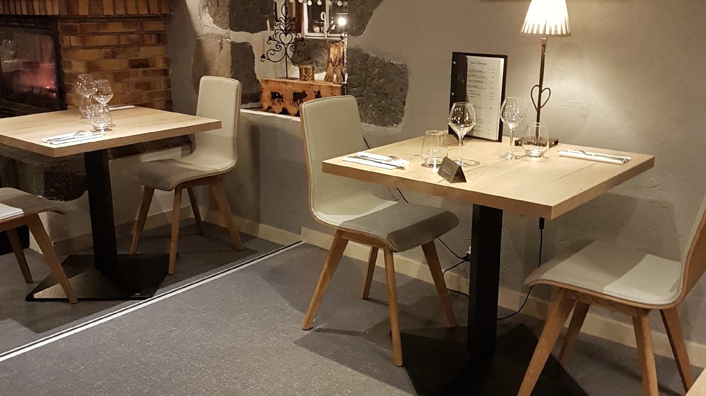
Auberge de la Golmotte
4.7Le Mont-Dore · 2.0 km away

Le Borsalino
4.6Le Mont-Dore · 3.5 km away
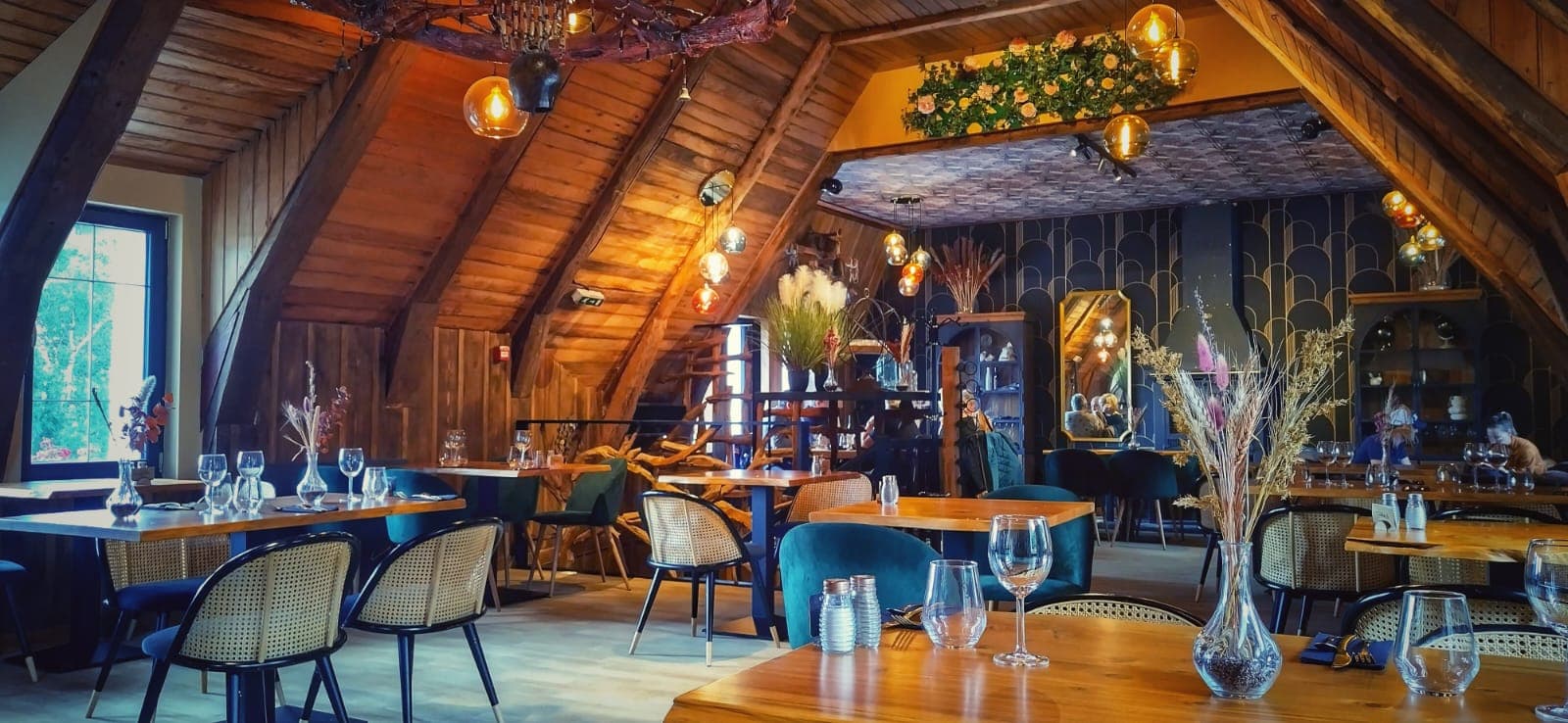
Là-Haut
4.8Le Mont-Dore · 4.7 km away
Where to stay nearby

Gîte de la Tâche
4.7Le Mont-Dore · 1.5 km away

Hôtel Le Castelet
4.6Le Mont-Dore · 3.2 km away

Les Chalets du Sancy
4.5Chambon-sur-Lac · 4.4 km away
Hikes nearby
Waymarked routes within 15 km, GPX track included.
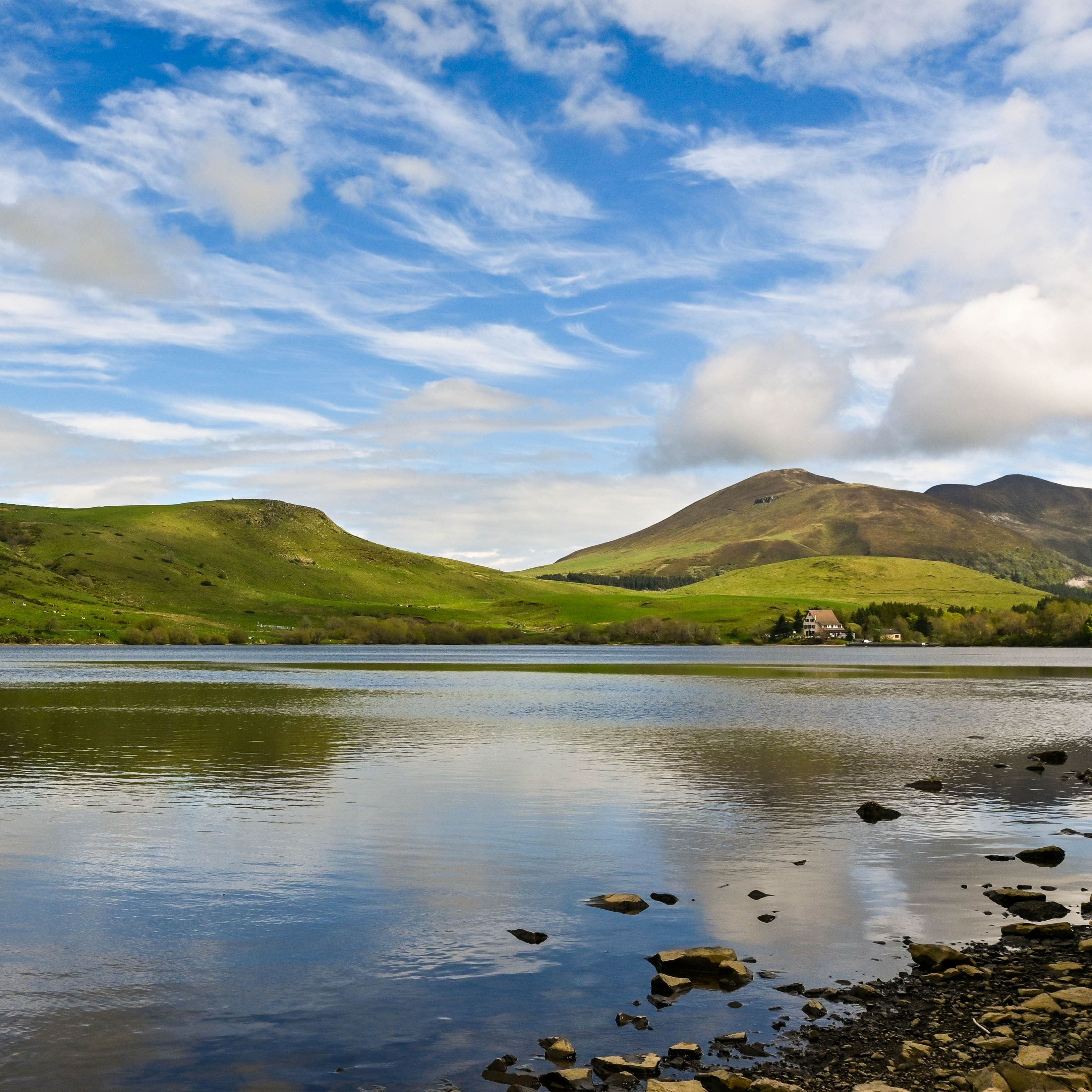 On foot
Plateau du Guéry via the Puy Loup
Start: Centre Montagnard Cap Guéry, Col de Guéry, 63210 Orcival
- 13.2 km
- +530 m
- 4 h 30 min
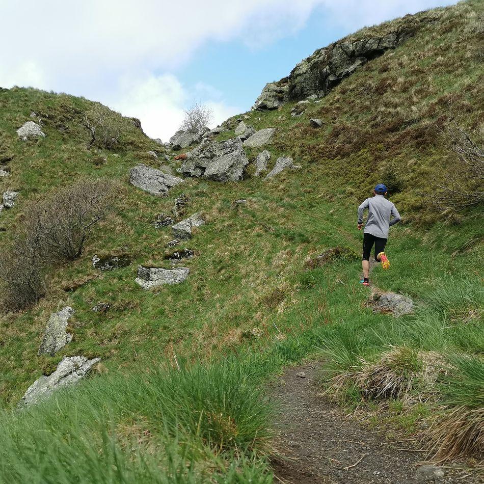 Trail running
Worth a read
Articles and guides that mention this place.

Hikes around Puy de la Tache
On footPlateau du Guéry via the Puy Loup
Start: Centre Montagnard Cap Guéry, Col de Guéry, 63210 Orcival
- 13.2 km
- +530 m
- 4 h 30 min
Trail running On foot
Banne d'Ordanche
Start: Au panneau de randonnée, au bout du parking le long de la route
- 8.5 km
- +488 m
- 3 h
You might also like
More volcanoes in Puy-de-Dôme and nearby.

Puy de Pariou
4.8Orcines · Puy-de-Dôme
1398 reviews

Taillerie du Sancy
4.4Le Mont-Dore · Puy-de-Dôme
758 reviews

Puy de Montchal
4.6Besse-et-Saint-Anastaise · Puy-de-Dôme
53 reviews

Puy de l'Angle
4.9Le Mont-Dore · Puy-de-Dôme
59 reviews

Puy des Goules
4.8Orcines · Puy-de-Dôme
183 reviews

Puy de Dôme
4.7Orcines · Puy-de-Dôme
2099 reviews