
Our take
The ideal viewpoint over Lac Pavin: 1 hour 30 there and back, a view straight down onto the perfect crater of the Pavin, with the Sancy in the background. A top combo for the Sancy.
1 hour 30 there and back from the shore for the view straight down onto Lac Pavin, with the Sancy in the background.
A Strombolian volcano at 1,407 m altitude, just above Lac Pavin (commune of Besse-et-Saint-Anastaise). Formed about 7,000 years ago: five centuries later, the explosion that gave birth to Lac Pavin blew away its north flank. An easy climb from Lac Pavin on a path waymarked in yellow that climbs through the beech wood: 1 hour 30 there and back. From the summit, views of the Pavin, the Sancy, the Artense and the Monts du Cantal. The crater at the summit is a clearing; the slopes are covered with beeches and firs. Open-access site, free car park. Can be combined with the walk round Lac Pavin.
Why we love it
- Lac Pavin appearing below you from the summit
- The crater at the summit, a clearing among the beeches and firs
- The summit panorama over the Sancy massif, the Artense and the Monts du Cantal
- The climb through the beech wood, up to the rim of the crater
Top tip
Combine the climb with the walk round Lac Pavin: 2 hours 30 in total. The wind is often strong: wrap up warm.
Before you go
- Start from the free Lac Pavin car park; it fills up quickly in season, so come early.
- Closed-toe shoes recommended: the path can be slippery on the way down.
- Combine it with the walk round Lac Pavin just below: one leads naturally into the other
Weather for the next 3 days
Today
8°/2°
11 mm · 46 km/h
Tomorrow
12°/2°
dry · 18 km/h
Tue 27
15°/9°
0 mm · 33 km/h
Source: Open-Meteo (CC BY 4.0). General lowland forecasts, to be cross-checked with specialist mountain forecasts at altitude.
Practical info
- Address
- Puy de Montchal, 63610 Besse-et-Saint-Anastaise, France
63610 Besse-et-Saint-Anastaise
What visitors say
Google rating
Average of 53 reviews on Google Maps.
Community rating
No reader reviews yet: yours gets things started.
It's for you if
- You want the view straight down onto Lac Pavin
- You are after an easy summit, 1 hour 30 there and back from the lake
- You like linking a summit and a lake walk in one afternoon
Give it a miss if
- You dislike wind: the summit is rarely calm
Your logbook
Around Puy de Montchal
14 spots in and around Besse-et-Saint-Anastaise, enough to build your day.
Where to eat close by
 €€
Mémé Joe
4.8Besse-et-Saint-Anastaise · 3.4 km away
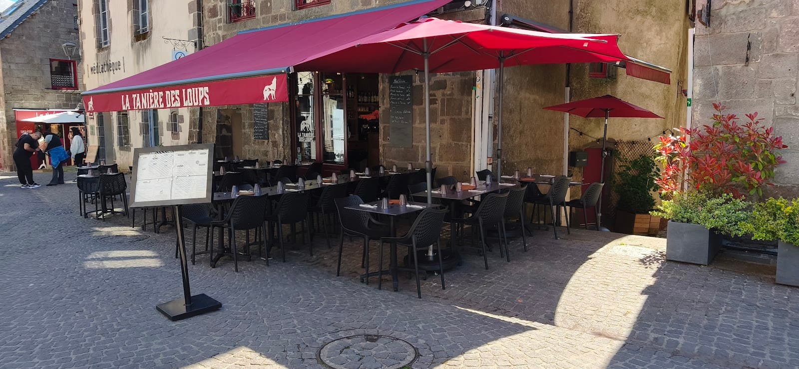 €€
La Tanière des Loups
4.8Besse-et-Saint-Anastaise · 4.7 km away
Where to stay nearby
 €
Résidence Le Bois de la Reine
4.0Besse-et-Saint-Anastaise · 2.4 km away

Camping Bois de Gravière
4.2Besse-et-Saint-Anastaise · 5.5 km away

Domaine Volcaflore
4.5Saint-Victor-la-Rivière · 6.7 km away
Hikes nearby
Waymarked routes within 15 km, GPX track included.
 On foot
 On foot
Worth a read
Articles and guides that mention this place.

Hikes around Puy de Montchal
On footOn foot On foot
You might also like
More volcanoes in Puy-de-Dôme and nearby.

Puy de la Vache
4.7Saint-Genès-Champanelle · Puy-de-Dôme
340 reviews

Lac Pavin viewpoint
4.8Besse-et-Saint-Anastaise · Puy-de-Dôme
265 reviews

La Roche Nité
4.8Valbeleix · Puy-de-Dôme
20 reviews
Camping Bois de Gravière
4.2Besse-et-Saint-Anastaise · Puy-de-Dôme
592 reviews

Puy de la Tache
4.7Le Mont-Dore · Puy-de-Dôme
46 reviews

Puy des Goules
4.8Orcines · Puy-de-Dôme
183 reviews